




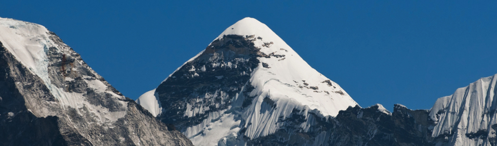
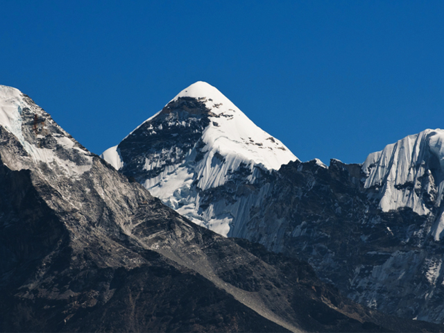
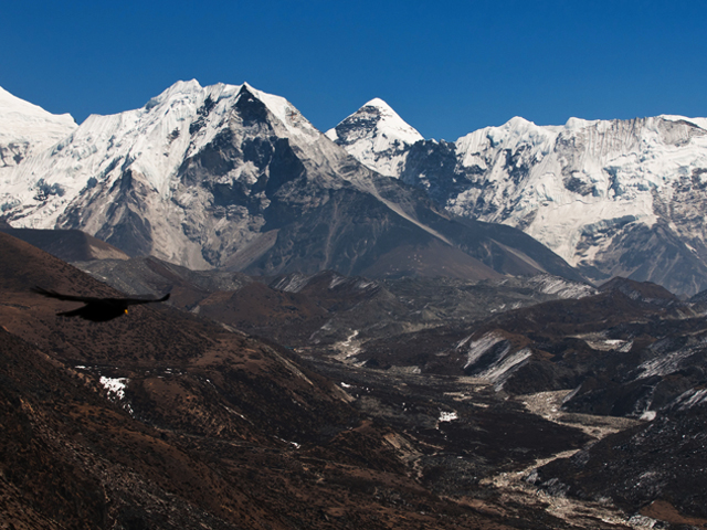
Cho Polu is a peak in the Khumbu area of eastern Nepal, tucked into the high country south of the Imja valley. To its south lie Num Ri and Baruntse, while Imja Tse, the well-known trekking peak better known as Island Peak, stands immediately to the west. This puts Cho Polu in the middle of some of the most celebrated mountain scenery in the Everest region, even though few people ever look for it by name.
Most trekkers see it, if at all, as part of the panorama from Island Peak or from the Chhukhung Ri viewpoint above Chhukhung village. The Imja valley is the usual approach, running from Dingboche to Chhukhung and then up onto the glacier, and the same route serves climbers heading for Island Peak, Lhotse and the Amphu Laptsa pass. Because Cho Polu is not a standard trekking peak, it sees little traffic, and the surrounding ridges are wild and unvisited.
Anyone interested in exploring this part of the Khumbu should budget extra acclimatisation days at Dingboche and Chhukhung, and take a local guide who knows the glacier routes. Spring (April to May) and autumn (October to November) are the best seasons, and the clear air of late autumn gives the sharpest views of the surrounding giants.
Featured Adventure
Quick Answers about Cho Polu
What is the elevation of Cho Polu?
Cho Polu is at an elevation of 6,735 m / 22,096 ft.
Where is Cho Polu located?
Cho Polu is located at latitude 27.919167, longitude 86.981944.

