




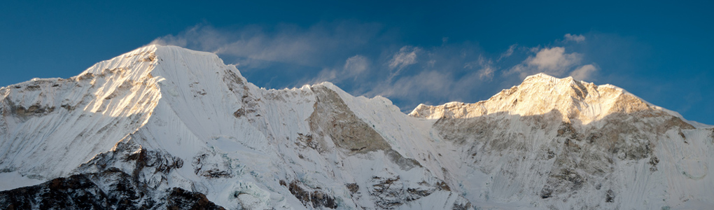
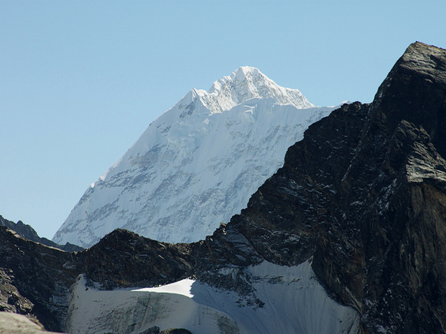
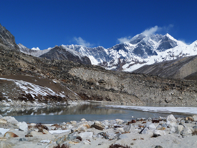
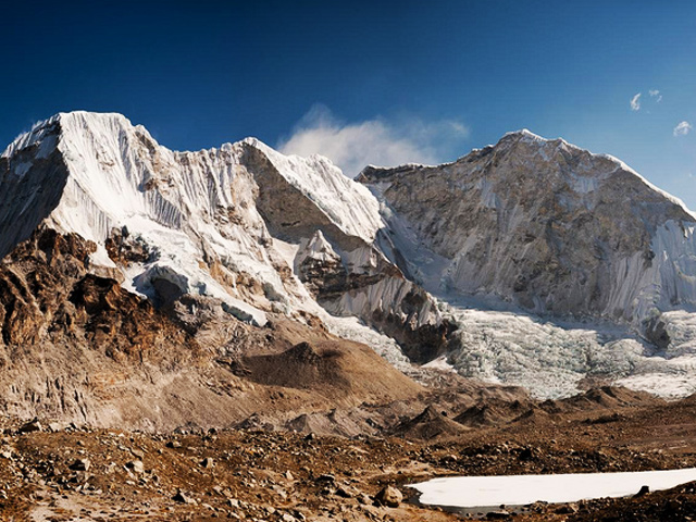
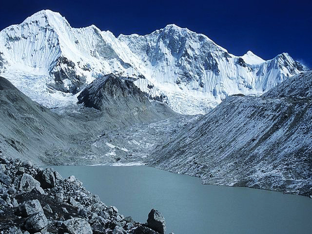
At 7,129 m (23,383 ft), Baruntse is not among the tallest peaks of the Khumbu, but anywhere else it would be a giant, since it is higher than five of the seven continental summits. Its main ridge runs from north-west to south-east, with the Barun Glacier to the east, the Imja Glacier to the north and the Hunku Glacier to the south. If you were walking the standard Everest Base Camp route, you could go on to Dingboche and then branch east up the valley to Imja Lake; a little beyond it you would face the north-east face of Baruntse. Climbers normally take a different way, via the Hongu valley.
Baruntse has several difficult crevasses to cross, and avalanche danger rises after fresh snow. Any peak above 7,000 m is a serious undertaking, but the reward is a view of other 8,000 m peaks including Everest, Lhotse and Makalu. Colin Todd and Geoff Harrow made the first ascent in 1954 as part of a larger expedition led by Sir Edmund Hillary that was scouting climbing routes around Makalu.
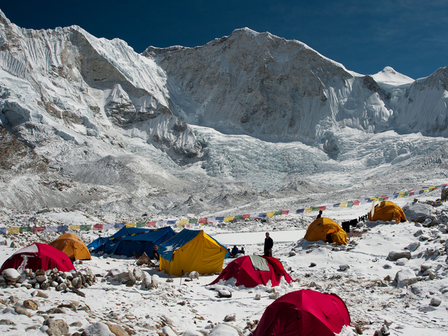
Climbers usually fly to Lukla and tackle Mera Peak to acclimatise before going on up the Hongu valley to Baruntse base camp. The trek is beautiful and still little visited, even though it is only one valley away from the busy route to Everest Base Camp. It takes about 10 days from Lukla to reach base camp. The climb itself is usually done in spring or autumn, with a summit push from a high camp on the north-west ridge, and an expedition should allow about four to five weeks. If you would like to know more about trekking this route, you can inquire about a trek to Baruntse Base Camp.
Image From Flickr: Dave , Robert Nunn , Craig Taylor , Trey Guinn , Karavaniers , Trey Guinn Trey Guinn
Featured Adventure

Quick Answers about Baruntse
What is the elevation of Baruntse?
Baruntse is at an elevation of 7,129 m / 23,383 ft.
Where is Baruntse located?
Baruntse is in Khumbu, at latitude 27.883333, longitude 86.983333.

