



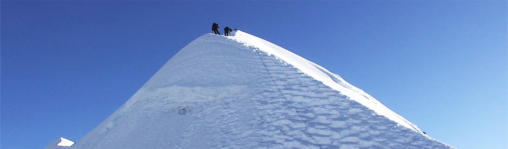
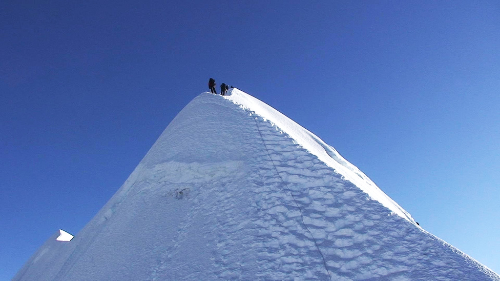
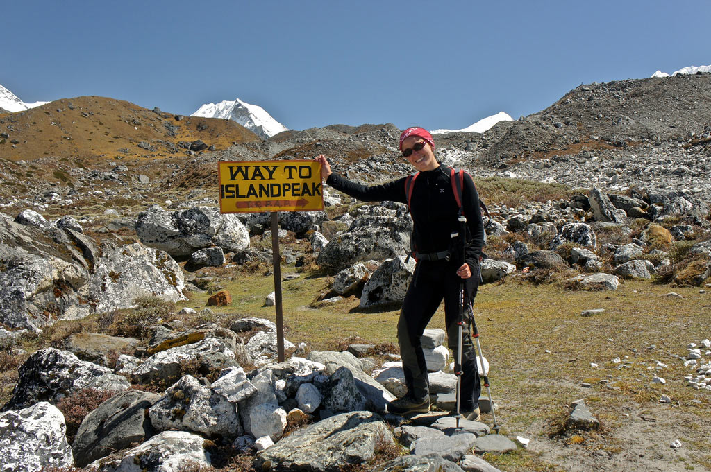
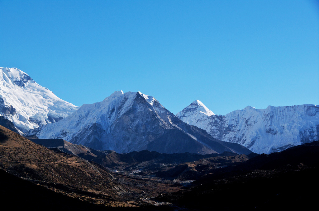
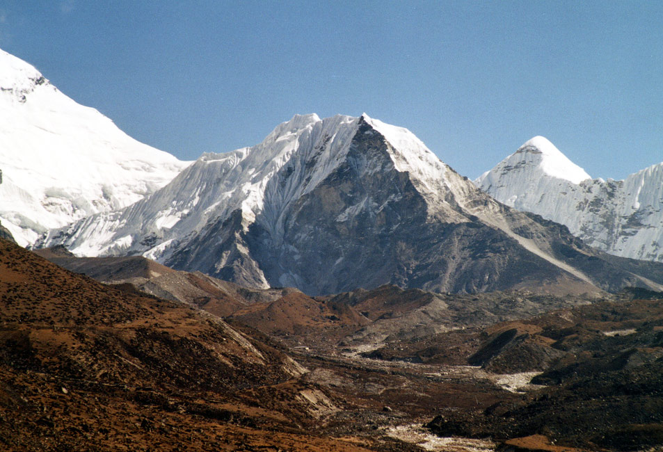
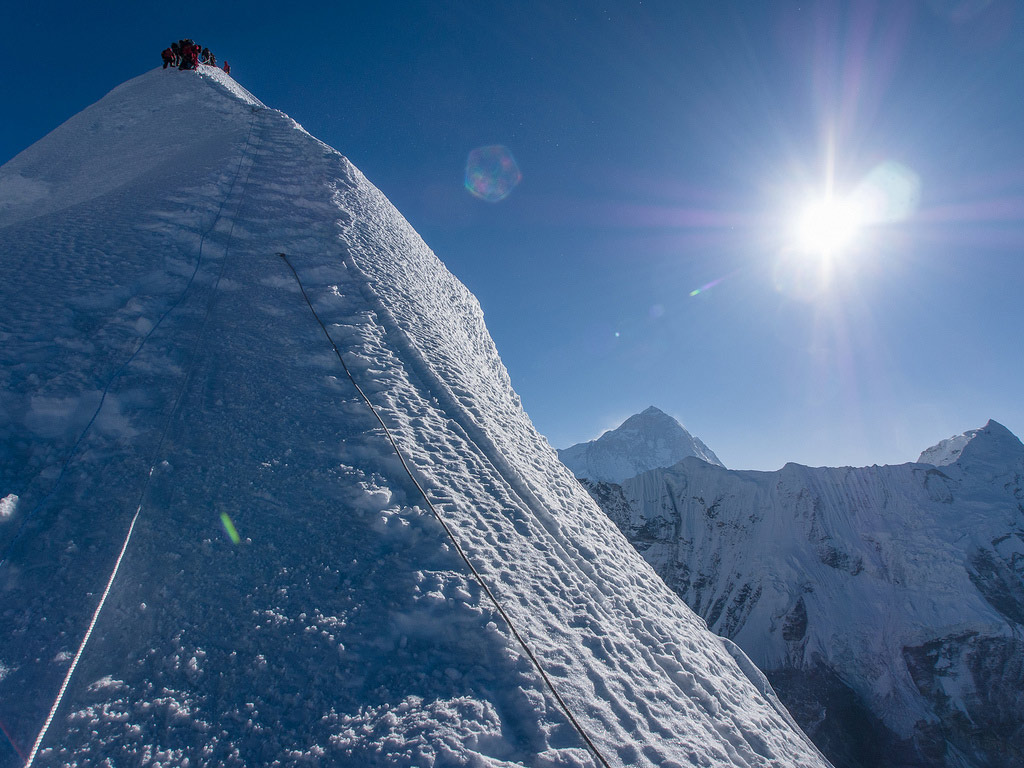
Imja Tse, known to nearly everyone as Island Peak, is a Himalayan summit in eastern Nepal. Eric Shipton's party named it in 1951 because, from Dingboche, it looks like an island in a sea of ice, rising from the glacier at the head of the Imja valley. It was renamed Imja Tse in 1983, but the old name stuck. Geographically it is a spur of the ridge falling south from Lhotse Shar.
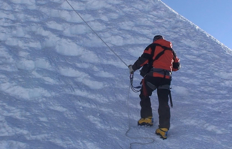
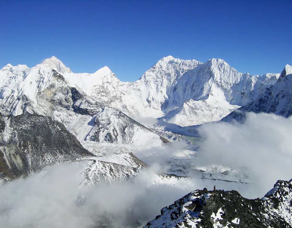
A Swiss team made the first ascent in 1956 as practice for Everest and Lhotse. With a grade of Alpine PD+ and easy access, it is one of the most popular trekking peaks in Nepal, especially with a Nepali climbing guide. The standard route crosses a glacier, climbs a steep headwall of snow and ice (usually fixed with rope), and finishes along a narrow summit ridge. The summit at 6,189 m gives a spectacular view of Lhotse's south face, Makalu and Baruntse.
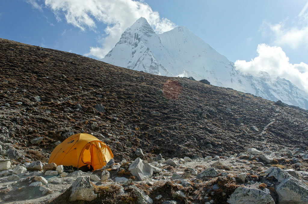
Climbers can start from base camp at Pareshaya Gyab (5,087 m) and leave between 2 and 3 am, or move up to a High Camp at about 5,600 m to shorten the summit day. Most itineraries combine Island Peak with the Everest Base Camp trek, using the early part of the walk for acclimatisation, and take around 17 to 20 days. Good fitness, a day of practice with crampons and ice axe, and a flexible schedule all increase the chance of success. The best seasons are spring and autumn.
Image From Flickr: Jari, tTwiga269, Delta November, Delta November, Andrea, Andrea, Kiril Rusev, Kiril Rusev, Robert Nunn
Featured Adventure

Quick Answers about Island Peak
What is the elevation of Island Peak?
Island Peak is at an elevation of 6,189 m.
Where is Island Peak located?
Island Peak is located at latitude 27.9225, longitude 86.936111.
What is Island Peak also known as?
Island Peak is also known as Imja Tse.

