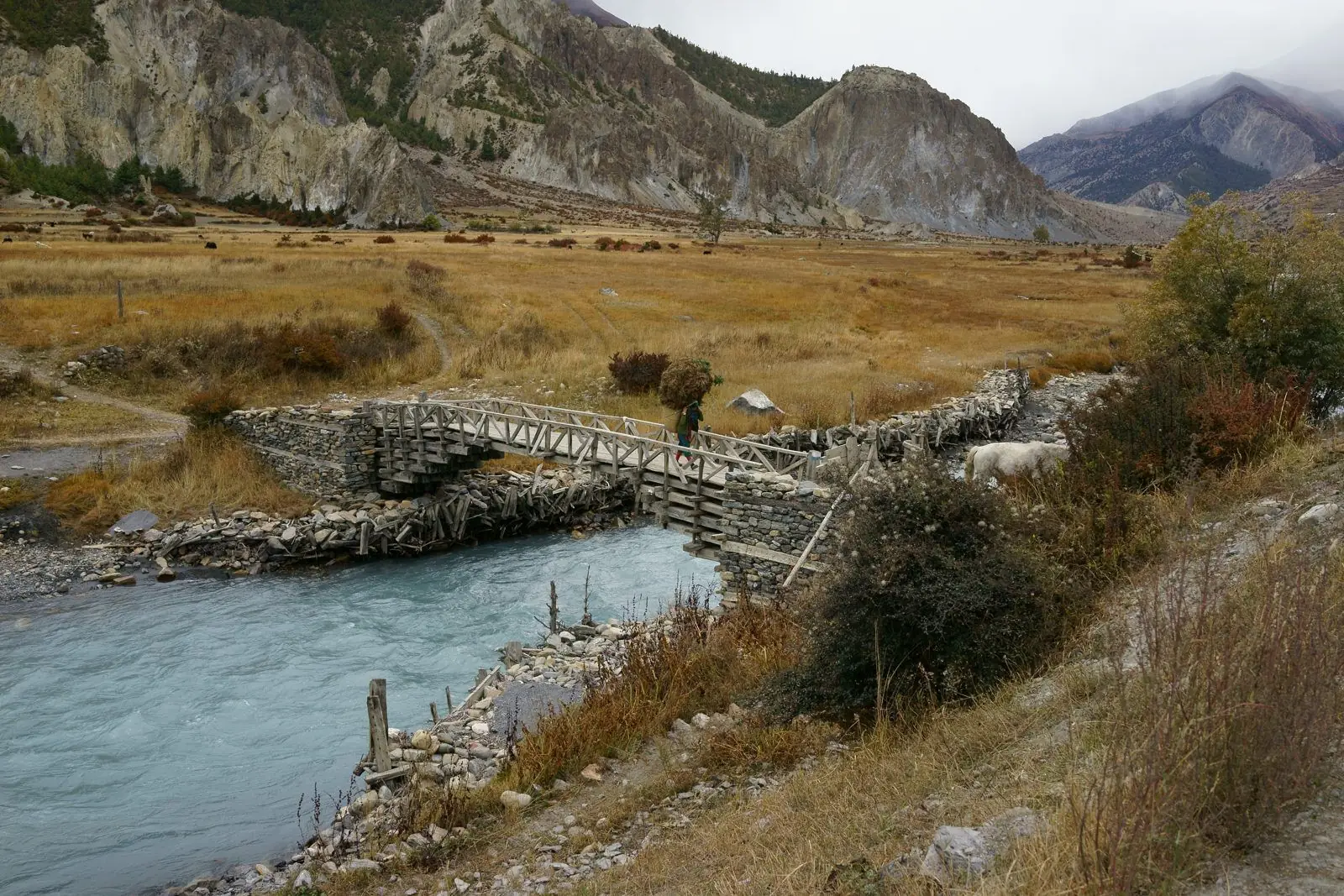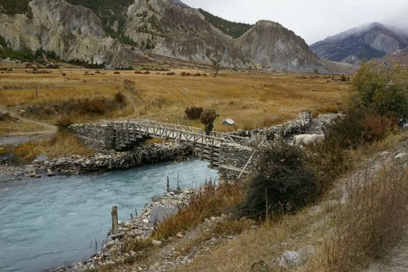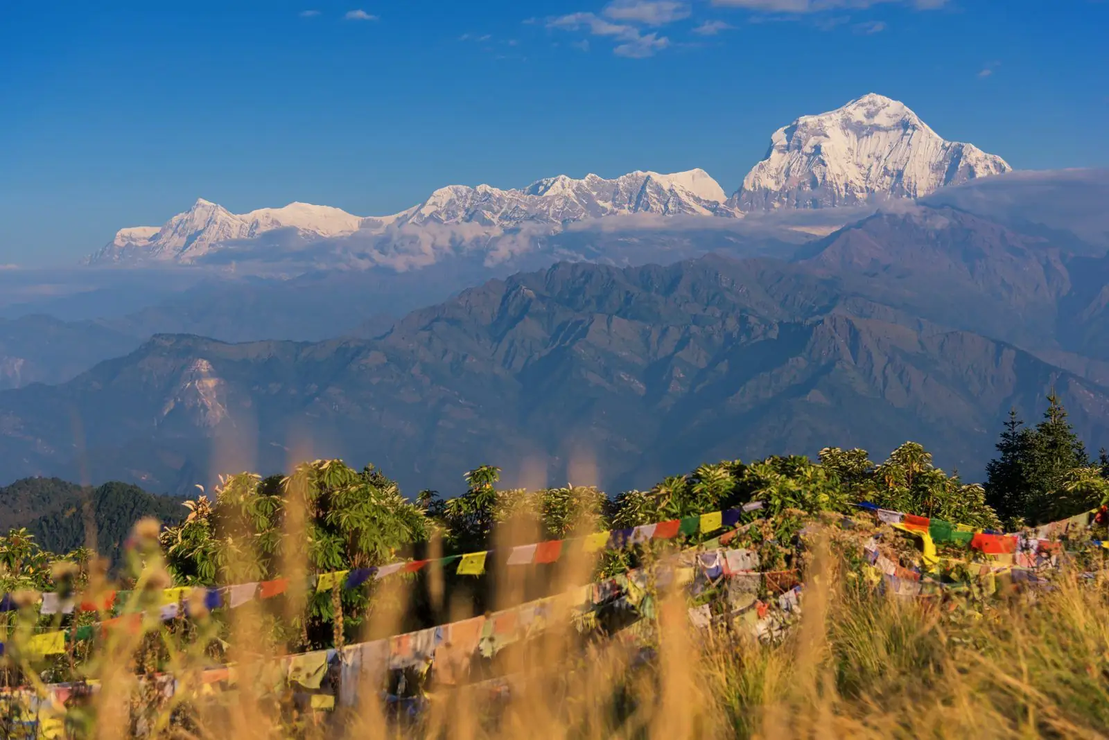
This is the main walking day of the trip. The climb is steady, open and sunny, with big views back down the valley.
Overview
Figures are approximate, and small differences between maps and your own watch are normal.
From Kagbeni (about 2,800 m) the trail climbs through barley fields and dry slopes to Jharkot (about 3,550 m), then continues to Ranipauwa and Muktinath (about 3,710 m). Expect 4 to 6 hours at a gentle pace.
Jharkot
Jharkot is a walled village with an old monastery and a fort-like structure on a rise. The lanes are quiet and photogenic. A traditional medical and astrological institute operates nearby. Ask your guide about visiting hours and etiquette.
Wind and sun
Start early. Wind rises through the morning, and sun at this altitude burns quickly. Carry water, a hat and a windproof layer.
Alternatives
You can ride up and walk down for an easier day, or ride the first stretch and walk from Jharkot. See itinerary and jeep options.
Landmarks on the way
- Kagbeni village and its lanes, then the first terraces above it.
- Open slopes with views of Nilgiri and Dhaulagiri behind you.
- Small chorten and mani walls marking the approach to Jharkot.
- Jharkot village, with its fort-like buildings and monastery.
- The path to Ranipauwa and the temple complex.
Pacing the climb
The climb is steady, and the altitude is higher than most arrivals expect. Walk slowly, take breaks, and drink water. If you flew in the same morning, consider shortening the day by taking a jeep to Jharkot and walking from there.
What to do at the top
Check into a lodge in Ranipauwa, rest, eat, and wait for the afternoon cold to settle. Visit the temple complex in the morning, when it is quieter and the light is better. See Muktinath temple complex guide.
Common questions
How long is Kagbeni to Muktinath?
About 4 to 6 hours on foot.
What is Jharkot?
A walled village with an old monastery, on the way to Muktinath.
Is it a hard walk?
It is a steady climb of about 900 m. It feels harder if you arrived the day before.