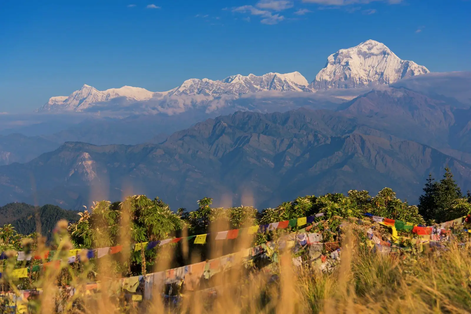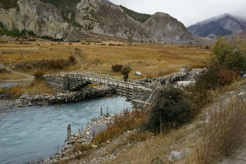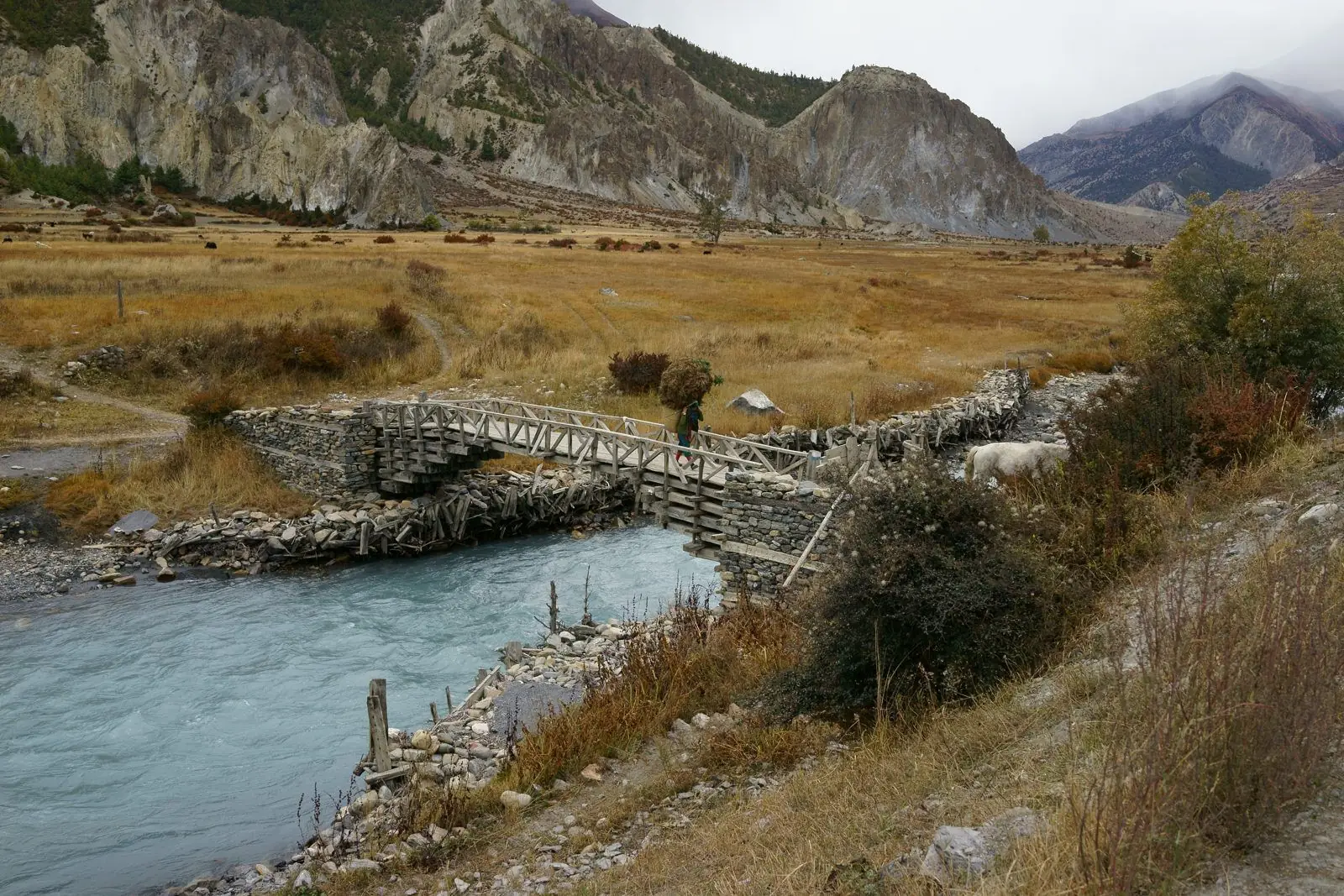
The walk down the Kali Gandaki valley is the classic end of the Annapurna Circuit, but it can also be done as a trek on its own. It follows an old trade route between Tibet and India, passing from desert-like slopes to green forest in a few days. A road now runs along much of it, so planning where to walk matters.
Overview
Use the numbers below to plan, not to measure. Maps, watches and lodge boards rarely agree to the metre.
From Jomsom (about 2,720 m) to Tatopani (about 1,190 m) the valley drops over 1,500 m. A typical walk takes four to five days, with stops at Marpha, Kalopani or Larjung, Ghasa and Tatopani. The road means you can ride parts and walk others; the best walking is on side trails away from vehicles.
Jomsom to Marpha (about 2,720 m to 2,670 m)
A gentle half day along the riverbed or the road. Winds usually blow up the valley in the afternoon, so start in the morning. Marpha is a tidy village with stone-paved lanes, white-washed houses and apple orchards.
Marpha to Tukuche and Larjung (about 2,670 m to 2,550 m)
Tukuche was an important trade centre, and its old buildings reflect that. A distillery and a small museum may be open. Larjung and Kobang are quiet villages with views of Dhaulagiri and Nilgiri.
Larjung to Kalopani (about 2,550 m to 2,530 m)
The valley is wider and more forested. Kalopani, meaning "black water", has some of the best views of Annapurna I and Dhaulagiri on a clear day. Lodges are comfortable.
Kalopani to Ghasa (about 2,530 m to 2,010 m)
The trail drops through forest, passing waterfalls and a deep gorge section. The change in vegetation from dry hillsides to green forest is striking.
Ghasa to Tatopani (about 2,010 m to 1,190 m)
A long descent to Tatopani, "hot water", where the natural hot springs are a welcome reward. The river is now deep in the gorge and the climate is subtropical.
After Tatopani
Many trekkers drive to Beni and then to Pokhara. Others continue uphill to Ghorepani and Poon Hill, adding two to three days. See Poon Hill trek: a short option.
Walking and the road
Roads and jeeps use much of the valley floor. Talk to your guide about side trails. The upper sections near Marpha and Tukuche have good alternatives. Downhill walking is hard on knees, so use poles.
Choosing where to stop
- Marpha: best food and atmosphere; a favourite first night.
- Larjung or Kokhethanti: quieter, with good views.
- Kalopani: comfortable lodges and wide views of Dhaulagiri and Annapurna.
- Ghasa: a small village in the green gorge.
- Tatopani: hot springs and a rest before the road to Pokhara.
Footwear and pace
Downhill walking for days is hard on knees and toes. Use poles, trim your toenails before you start and carry blister tape. Take shorter days if you are tired, and use jeeps where the road is the only practical way.
Common questions
How long is the walk from Jomsom to Tatopani?
Usually four to five days, depending on how much of the road you walk and where you stop.
Are there hot springs on the way?
Yes, at Tatopani, the traditional end of the walk.
Is the Kali Gandaki valley windy?
Yes. Strong winds blow up the valley in the afternoon, so start early.