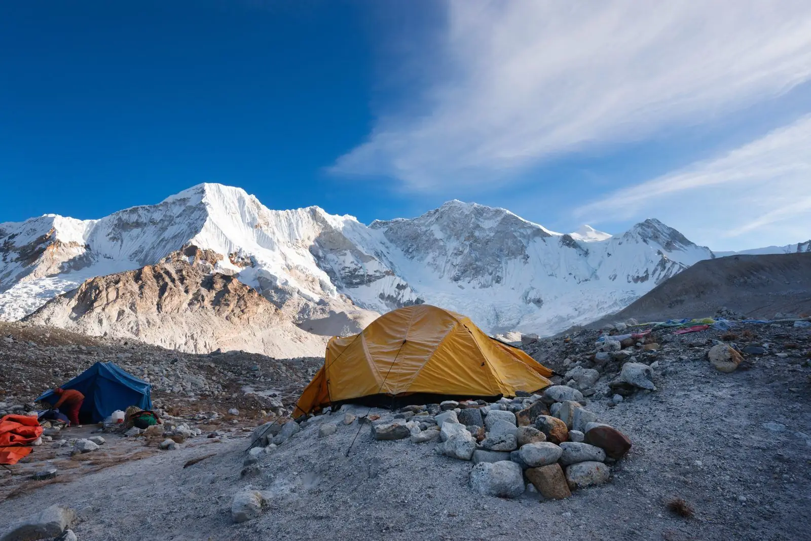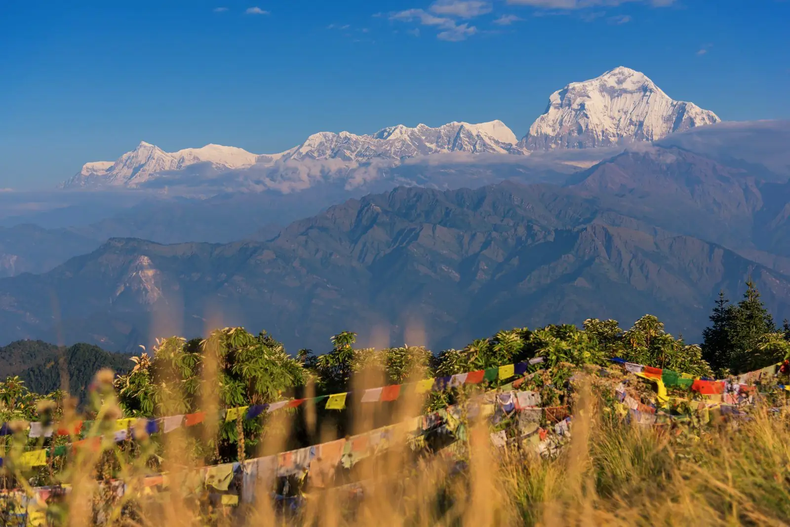
Nilgiri Himal is a group of three peaks in the Annapurna range of Nepal, rising directly above Jomsom and the Kali Gandaki valley in Mustang district. Nilgiri North is 7,061 m, Nilgiri Central 6,940 m and Nilgiri South 6,839 m. The name means "blue mountain".
Not the Nilgiri hills of South India
The name Nilgiri is shared. The Nilgiri hills of Tamil Nadu, Kerala and Karnataka, with Ooty and Doddabetta peak at 2,637 m, are a separate range in southern India, famous for tea. The Nilgiri of this guide is a group of snow peaks in the Nepal Himalaya, nearly three times as high. Both names come from the same Sanskrit words, nila (blue) and giri (mountain).
Where Nilgiri Himal is
The three summits stand in a line on the western edge of the Annapurna massif, on the east side of the Kali Gandaki river, in Mustang district of Gandaki Province. Jomsom, the district headquarters at about 2,740 m, lies at the foot of Nilgiri North, so the mountain rises more than 4,000 m straight above the airstrip. Across the valley to the west is Dhaulagiri (8,167 m) with Tukuche Peak, and to the east, behind the Nilgiri wall, are Tilicho Peak (7,134 m) and Tilicho Lake.
The three peaks and their heights
- Nilgiri North: 7,061 m, the highest and the one that dominates Jomsom.
- Nilgiri Central: 6,940 m.
- Nilgiri South: 6,839 m, the summit seen from the Poon Hill side and from Annapurna Base Camp treks as part of the skyline with Annapurna South.
Figures vary by a few metres between maps.
Why it looks blue
In the hour before sunrise and after sunset the snow and ice of the west face take on a cold blue tone against the sky, which is the usual explanation for the name. At dawn the summit of Nilgiri North catches the first light well before the valley floor, turning from blue to pink to gold in a few minutes. It is one of the best sunrise shows in Mustang, and you can watch it from a lodge window.
Best places to see Nilgiri
- Jomsom: the closest view, from the airstrip and the main street.
- Marpha and Tukuche: Nilgiri across apple orchards and whitewashed houses.
- Kagbeni: looking back down the valley, Nilgiri closes the southern horizon.
- Muktinath (3,710 m): a wide panorama with Dhaulagiri to the right.
- Poon Hill (3,210 m): Nilgiri South appears between Dhaulagiri and Annapurna South.
- The Mesokanto La and Tilicho Lake route: the wild northern and eastern side of the group.
- The flight between Pokhara and Jomsom, which passes through the gorge between Nilgiri and Dhaulagiri.
Treks that pass below it
The Jomsom and Muktinath trek walks the valley under the peaks, and the second half of the Annapurna Circuit descends from the Thorong La past Muktinath and Jomsom with Nilgiri ahead for two days. Lower Mustang can also be visited by road or by flight to Jomsom, which makes Nilgiri one of the few 7,000 m peaks you can see up close without trekking at all. The harder Mesokanto La route links Tilicho Lake with Jomsom behind the range.
Climbing history
Nilgiri North was first climbed in October 1962 by a Dutch expedition whose climbing leader was the French mountaineer Lionel Terray. The south and central peaks were climbed by Japanese expeditions in later years. All three are steep, serious mountains that need an expedition permit and are attempted by few teams. They are not trekking peaks. Trekkers who want a summit in this area usually look at Dhampus Peak across the valley, or at Pisang Peak and the Chulu peaks on the Manang side.
Wind, weather and the best season
The Kali Gandaki valley is a natural wind tunnel. Most days a strong wind blows up the valley from late morning, which is why flights to Jomsom operate only in the early hours and why trekkers walk this section early. Mustang lies in the rain shadow, so it stays drier than the south side in the monsoon, though cloud often hides the peaks then. October and November give the clearest views, and March to May is also good. Winter is cold and clear, with snow on the Thorong La.
Nilgiri and Tilicho
The wall of peaks that includes Nilgiri and Tilicho Peak was called the "Great Barrier" by the French expedition of 1950, which was searching for a way to Annapurna and found its path blocked. Tilicho Lake, at 4,919 m, lies on the far side. See the Tilicho Lake guides and Tilicho Peak.
Villages below the mountain
The Thakali villages of the upper Kali Gandaki sit in Nilgiri's shadow. Marpha is known for its apple orchards, cider and brandy and for its neat, whitewashed lanes. Tukuche was once a rich trading town on the salt route between Tibet and the plains, and its large old houses survive. Jomsom is the working centre, with the airport, offices and shops. Thakali kitchens are famous across Nepal for their dal bhat, and this valley is the place to try it at the source.
Common questions
How high is Nilgiri mountain in Nepal?
Nilgiri North is 7,061 m, Nilgiri Central about 6,940 m and Nilgiri South about 6,839 m.
Where is Nilgiri Himal located?
In the Annapurna range of Nepal, above Jomsom in Mustang district, on the east side of the Kali Gandaki valley.
Is Nilgiri in Nepal the same as the Nilgiri hills in India?
No. The Nilgiri hills are in southern India and reach 2,637 m. Nilgiri Himal is a group of 7,000 m snow peaks in the Nepal Himalaya.
Can you climb Nilgiri?
Only as a full expedition with a permit. The peaks are steep and technical, and they are rarely attempted.
Heights, dates, fees and rules are approximate and can change, so confirm the current details with us before you book.