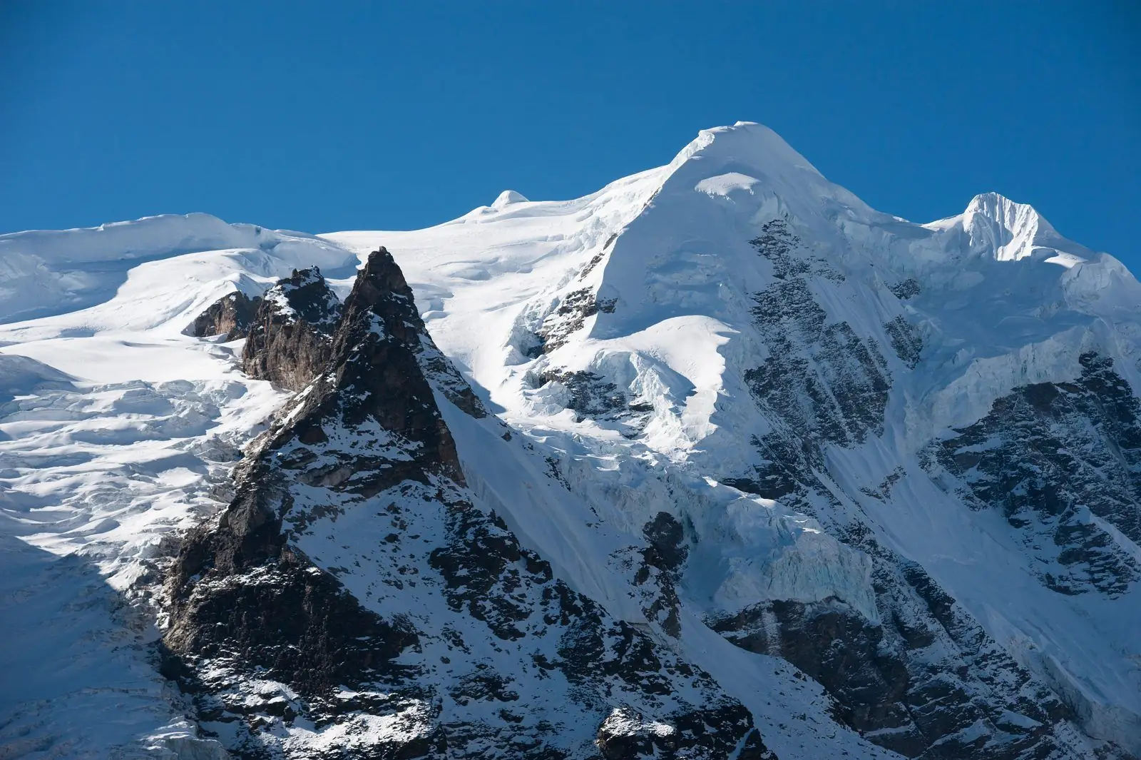
Baga La is a high pass of about 5,070 m in the Dolpo Region. Most Lower Dolpo itineraries cross it with the Numa La on the way between Phoksundo and Dho Tarap. Our guides note that the Numa La and Baga La days are the longest, so this crossing needs planning, fitness and good weather.
Altitude: about 5,070 m. Heights quoted for villages and camps vary by source, so treat this as a guide.
Where Baga La is and why trekkers stop
Baga La is the second of the two big passes that stand between Shey Phoksundo Lake and Dho Tarap. Itineraries usually pair it with the Numa La, which is slightly higher. Together they form the demanding middle of the Lower Dolpo trek, and the days around them are planned with extra care, early starts and spare time for weather.
Plan the day with extra margin: a warm breakfast, headlamp for the early hours, and a clear turnaround time agreed with your guide in case weather or snow conditions turn difficult.
What to expect at Baga La
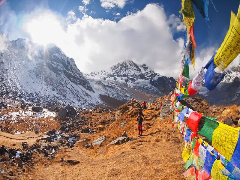
What the crossing is like depends on season and snow. Expect a long climb on rough ground, thin air and a cold, windy summit. Footing can be loose or icy, so trekking poles and sturdy boots are valuable. Views open up when skies are clear, though cloud often builds later. The descent is also long, so save energy for it.
The high point itself is usually brief, as cold and wind push groups to keep moving. Take photographs quickly, put on a warm layer and begin the descent without lingering too long.
Altitude and how you may feel
At about 5,070 m, Baga La is very high. Altitude effects can include headaches, nausea, breathlessness and unusual fatigue, even in fit trekkers. Walk slowly, drink water and eat snacks. Altitude illness can strike without warning, so report symptoms early, and if they worsen descend at once rather than continue.
Walk at a pace that allows breathing through your nose. Rest steps on steep sections, frequent sips of water and good sleep before the crossing all make symptoms less likely to build.
Lodging, food and practical tips
There are no services on the pass itself, so carry water, snacks, sun protection, gloves and a windproof layer. Your operator arranges camps and food. Dolpo includes restricted areas, so a licensed guide and permits through a registered agency are required. Keep permit copies in a waterproof bag and follow your guide's advice about weather and timing.
Check the condition of your boots and poles beforehand, and carry spare gloves. A well packed daypack with the essentials within reach saves time and effort when you need warm clothing quickly.
Common questions
How high is Baga La?
Our guides place Baga La at about 5,070 m. It is crossed between Phoksundo and Dho Tarap, usually alongside the Numa La at about 5,190 m.
Which is harder, Baga La or Numa La?
Both are long, demanding days, and our guides call them the longest of the trek. Difficulty depends on season, snow, weather and how well you are acclimatised.
When is the best time to cross Baga La?
Conditions vary by season and snow cover, so choose dates with your operator. Early starts help, because weather often worsens later in the day at these heights.