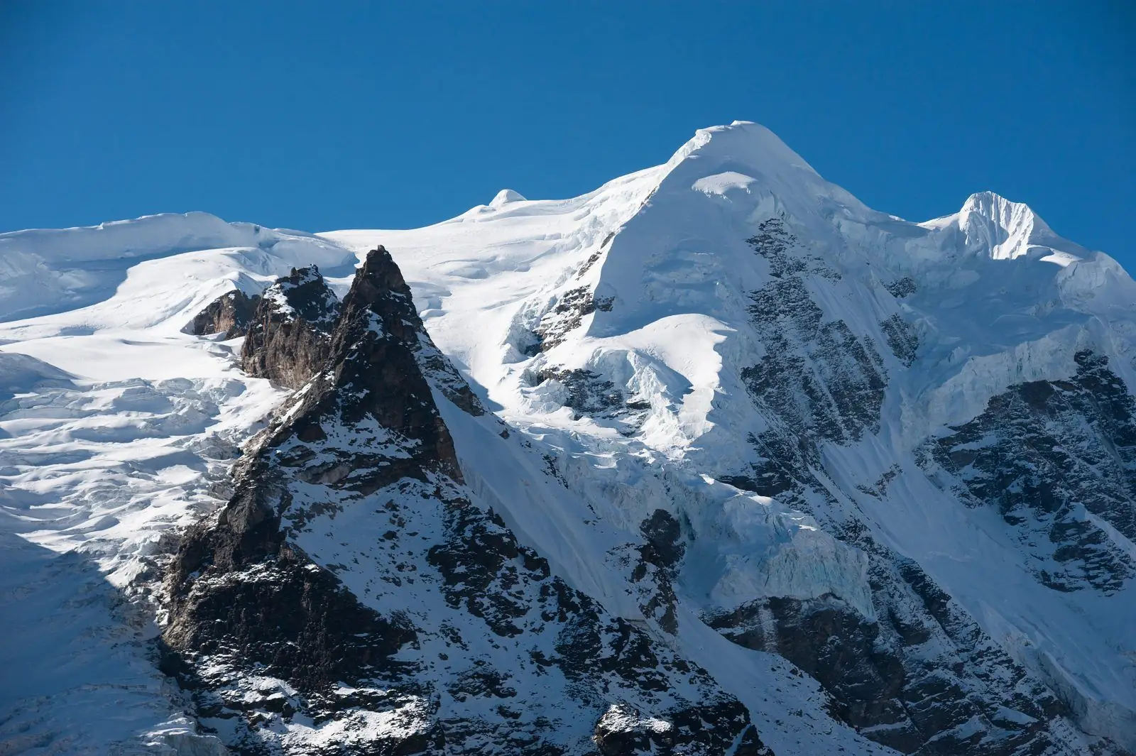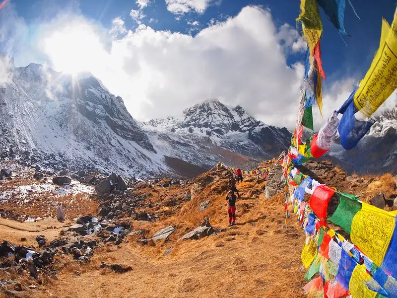
Numa La is a high pass of about 5,190 m in the Dolpo Region. Most Lower Dolpo itineraries cross it between Phoksundo and Dho Tarap. Our guides describe a long day of steep scree and snow, followed by a descent to a camp in the Tarap valley. It is one of the hardest days of the trek.
Altitude: about 5,190 m. Heights quoted for villages and camps vary by source, so treat this as a guide.
Where Numa La is and why trekkers stop
Numa La lies between Phoksundo and the Tarap valley. Our itineraries walk up the valley to Phoksundo Bhanjyang, then to the base of the Kang La or the Numa La, depending on route. The Numa La and Baga La days are the longest of the trek, so expect an early start and a day that asks for steady effort.
Weather matters enormously here. Your guide may change the start time or delay the crossing if snow, wind or poor visibility make the way unsafe, and that judgment should be respected.
What to expect at Numa La
The crossing is about steep scree and, depending on season, snow. The climb is long, the air is thin and footing can be loose, so trekking poles and sturdy boots help. At the top, weather decides the view; on a clear day the surrounding peaks open up. Then comes a long descent to the camp in the Tarap valley.
Take regular short rests, eat little and often, and keep your pace so even that you can still speak in short sentences. Looking after your feet early prevents blisters on the long descent.
Altitude and how you may feel
At about 5,190 m, the pass is very high, and the effects of altitude can be strong, even for fit trekkers. Go slowly, breathe steadily, drink water and tell your guide about headaches, nausea or unusual tiredness. Altitude illness can strike, and if symptoms worsen you should descend immediately rather than continue over the pass.
Many trekkers find that a calm, steady rhythm works better than rushing the climb. Stop immediately if you feel confused, unsteady or unusually breathless, and tell your guide at once.
Lodging, food and practical tips
Facilities are limited to camps, so your operator carries food and shelter. Pack warm layers, a windproof shell, gloves, sun protection and snacks. Start early so you cross in better weather. Dolpo includes restricted areas, so a licensed guide and permits through a registered agency are required. Keep permit copies in a waterproof bag.
Test your crampons, microspikes or gaiters if your operator suggests them, and keep sunglasses handy for snow glare. A thermos of warm drink is a morale booster on the climb.
Common questions
How high is Numa La?
Our guides place Numa La at about 5,190 m. It is crossed between Shey Phoksundo Lake and the Tarap valley on most Lower Dolpo itineraries.
Is the Numa La crossing difficult?
Yes. Expect a long day of steep scree and snow, then a descent to the Tarap valley. The Numa La and Baga La days are the longest, so good fitness and acclimatisation matter.
Do I need a guide to cross Numa La?
Yes. Dolpo includes restricted areas, so you need permits and a licensed guide through a registered agency. A guide also helps with route finding, weather and altitude decisions.