Gyabla is a village stop in the Kanchenjunga region of far east Nepal, and the last of the three lower valley nights after Sekathum and Amjilosa. Our guides place it near the top of a range from about 1,200 m to 2,700 m, so it is the highest of the three.
Where Gyabla is and why trekkers stop
Gyabla sits higher on the north Kanchenjunga route than Sekathum and Amjilosa, and it marks the point where the trail starts to leave the warm lower valley. Trekkers stop here because the next stages climb toward Ghunsa and the colder, higher country beyond. A usual pattern is to treat these three nights as the gentle opening of the trek, with Gyabla as the final step before cooler air.
Kanchenjunga needs a restricted area permit and a licensed guide.
What to expect at Gyabla
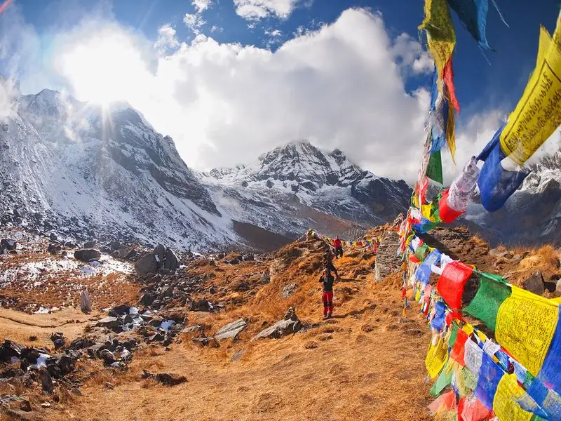
Expect a Himalayan village with stone and wood houses, mountain air, forest and terraces of crops. The weather is cooler than at Sekathum, with clouds common in the afternoon. Trails may be steep, and you might meet mules, porters and local people carrying loads. Take your time, greet people politely, and watch your footing on wet sections. Evenings are chilly, so a warm layer is welcome after you arrive and stop moving.
Altitude and how you may feel
Gyabla is the highest of the lower valley nights, near the 2,700 m end of the range given in our guides. Most trekkers still feel well, but some notice mild headache or lighter sleep. The sleeping altitude continues to rise toward Ghunsa, so use this stage to drink well and walk slowly. Altitude illness can strike even at moderate heights, so tell your guide if symptoms appear, and descend if they worsen.
Lodging, food and practical tips
Lodging is in simple village guesthouses with basic rooms and shared bathrooms. Meals usually include dal bhat, noodles, soup and tea, and portions are generous after a long day. Carry cash in Nepali rupees, since machines are absent in this region. Pack a warm hat, gloves, a down layer for evenings and a rain shell. Wet boots can take a while to dry, so bring spare socks and a bag for damp clothing.
Common questions
How high is Gyabla?
Our guides give nights between about 1,200 m and 2,700 m across Sekathum, Amjilosa and Gyabla. Gyabla is the highest of them, close to the upper end of that range.
What is the next stop after Gyabla?
The trail continues up the valley toward Ghunsa, where our guides mention a rest day at about 3,595 m, and then on to Khambachen, Lhonak and Pangpema.
Is a guide required for Gyabla?
Yes. Kanchenjunga is a restricted area, so you need a restricted area permit and a licensed guide arranged through a registered agency, including on the lower sections of the trail.