Num is a village at about 1,500 m in the Makalu region of east Nepal, near the Arun river. This page is about the Makalu trek village, not any other place of that name. Many itineraries reach it by road from Khandbari, and the climb into the hills begins from here.
Altitude: about 1,500 m. Heights quoted for villages and camps vary by source, so treat this as a guide.
Where Num is and why trekkers stop
Num lies on the route from Tumlingtar and Khandbari toward the Barun valley, close to the Arun river. Our guides describe the usual way as a flight to Tumlingtar, a short drive to Khandbari and a rougher road to Num, where walking begins. It makes sense as a start point because the trek then climbs in steps, giving the body time to adapt.
The road can be affected by weather.
What to expect at Num
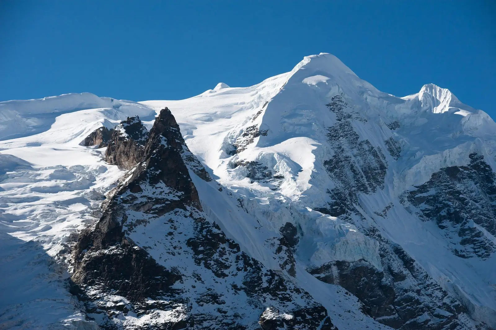
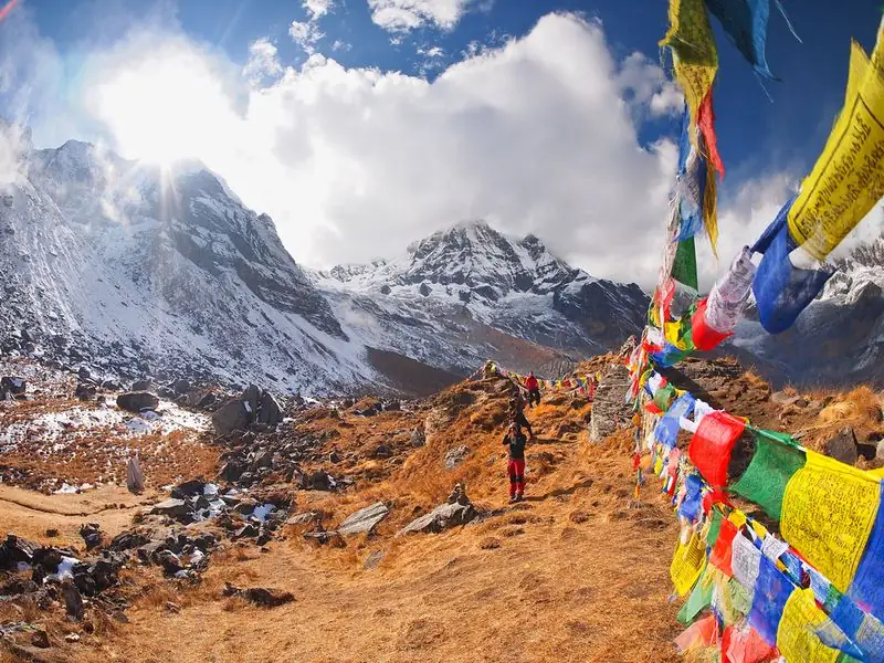
Expect a lively hill village with shops, guesthouses and a busy feel for the region, set above a deep river gorge. From here the trail descends to cross the Arun river, then climbs through forest and villages toward Seduwa and Tashi Gaun. The scenery is green and rural, and the walking can be steep. Allow time to pack and sort gear. Ask your guide about the day plan.
Altitude and how you may feel
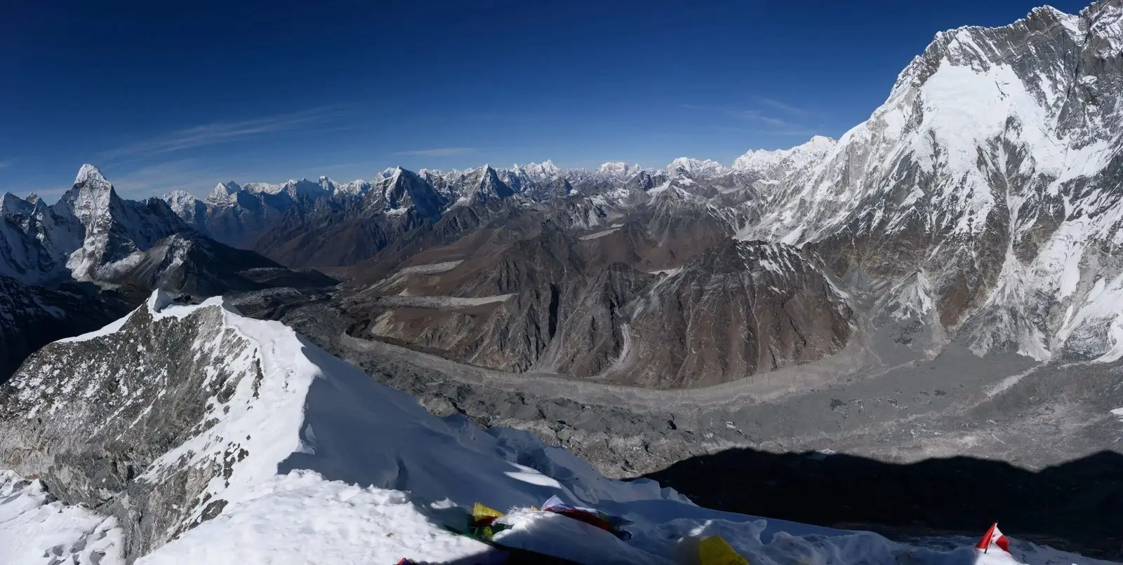
Num sits at about 1,500 m, much higher than Tumlingtar at roughly 300 m, but still low enough that most people feel well. The sleeping altitude rises over the following days, and the real altitude comes in the Barun valley, toward Makalu Base Camp at about 4,870 m. Altitude illness can strike higher up, so learn the signs now. If symptoms worsen, descend and tell your guide. Rest well and drink plenty.
Lodging, food and practical tips
Lodging is in simple guesthouses with basic rooms and shared washing facilities. Meals are typically dal bhat, noodles, eggs and vegetables. Our guides advise carrying enough Nepali rupees, since there are no banks or ATMs after Tumlingtar and help is far away. Pack insect repellent, a rain shell, sturdy boots and blister care. Keep a spare day in the plan, as roads, rivers and weather can change timing. Ask your guide about the latest road news.
Common questions
How high is Num?
Our guides place the trek near 300 m at Tumlingtar and about 1,500 m at Num, then climbing in steps. That slow rise gives your body time to adapt before the higher Barun valley.
How do I reach Num?
The usual way is a flight to Tumlingtar, a short drive to Khandbari and a rougher road to Num, where walking begins. Some trips approach by road from the east instead.
What comes after Num?
The trail crosses the Arun river near Num and climbs through forest and villages to Seduwa and Tashi Gaun, then into the Barun valley toward Makalu Base Camp.