




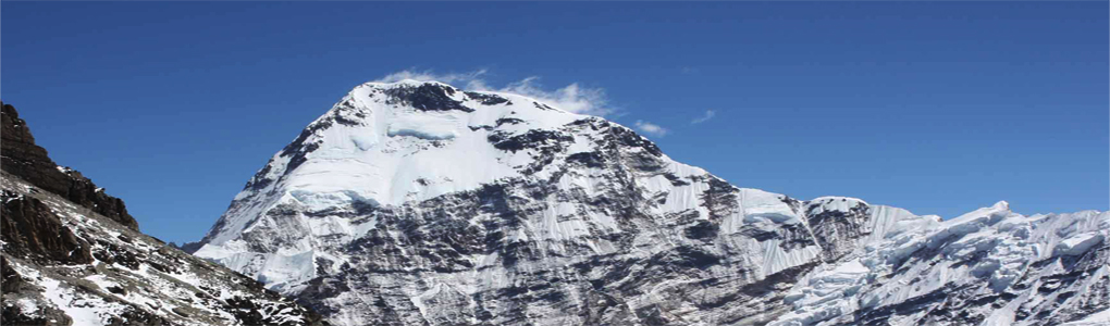
Chamlang (7,319 m, 24,012 ft) is a peak of the Nepalese Himalaya near Makalu, at the southern end of the Mahalangur subrange. It is a long, elegant ridge of snow and ice with several summits, and from the Makalu Base Camp trail it appears as a white wall to the east of Makalu. Few trekkers know its name, but those who walk the Barun valley see it for days.
A Japanese expedition made the first ascent in 1962, and since then the peak has been climbed only occasionally. It has a prominence of more than 1,000 m, so it counts as an independent mountain. Its long ridge, steep faces and remote setting make it a demanding climb that requires a full expedition.
The Makalu Base Camp trek, about 18 days from Tumlingtar, gives the best views of Chamlang from the Barun valley and Shipton La. The route passes through the Makalu Barun National Park, which is rich in wildlife and plants. Spring is the best season for the rhododendron bloom, and autumn offers clear skies. Visitors need permits for the park and should travel with a registered agency, as lodges are few and the terrain is remote.
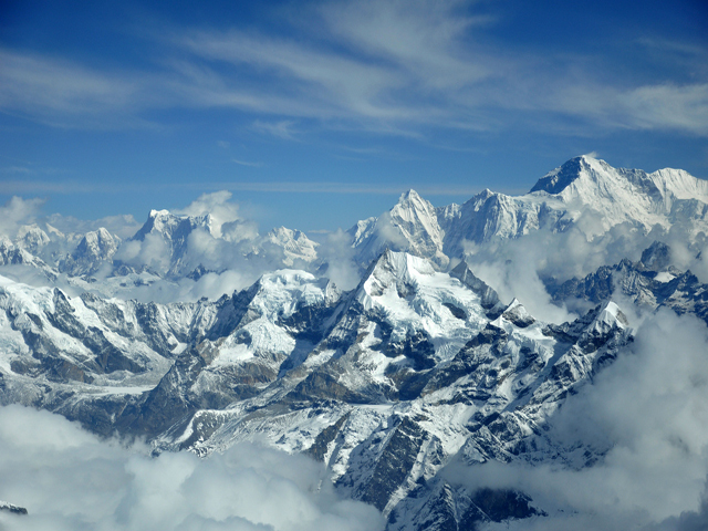
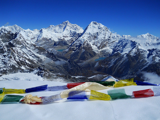
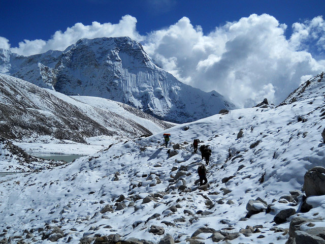
Image From Flickr: Suraj Manandhar , Craig Taylor , Mark Bicknell
Featured Adventure

Quick Answers about Chamlang
What is the elevation of Chamlang?
Chamlang is at an elevation of 7,319 m / 24,012 ft.
Where is Chamlang located?
Chamlang is located at latitude 27.775556, longitude 86.979722.

