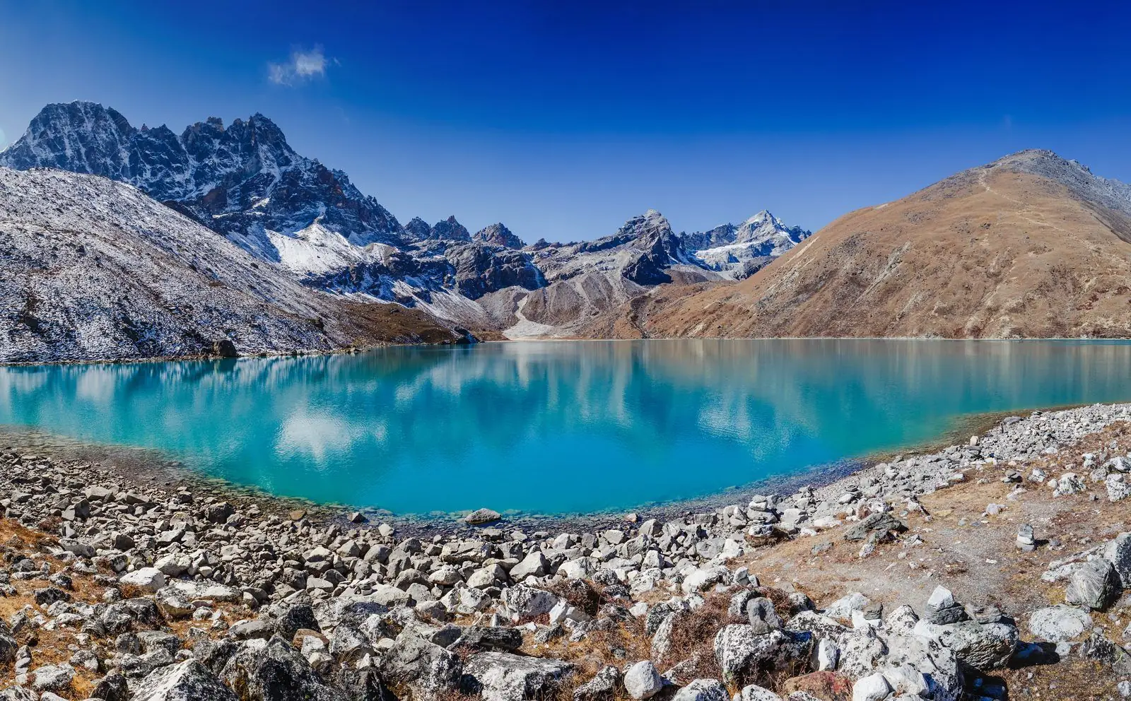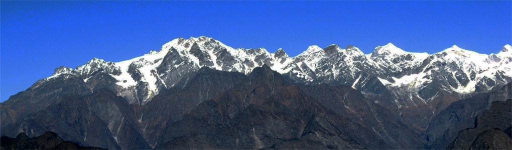
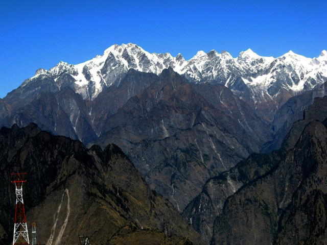
Kamet is the second highest mountain in the Garhwal region of India, after Nanda Devi. It lies in the Chamoli District of Uttarakhand, close to the border with Tibet. It is the third highest mountain in Indian-controlled territory, although it ranks lower if counting mountains inside Indian-claimed territory in Pakistan, and it is the 29th highest in the world. In appearance it resembles a giant pyramid topped by a flat summit area with two peaks. Due to its position near the Tibetan Plateau, Kamet is remote and not as accessible as some Himalayan peaks. It also receives a great deal of wind from the Plateau. However, by modern standards, it is a relatively straightforward ascent for such a high mountain.
Image From Flickr: Draskd
Featured Adventure
Quick Answers about Kamet
What is the elevation of Kamet?
Kamet is at an elevation of 7,756 m / 25,446 ft.
Where is Kamet located?
Kamet is located at latitude 30.920000, longitude 79.591667.