




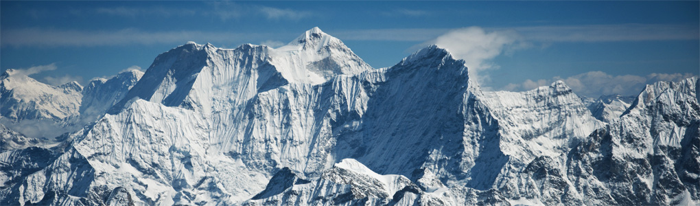
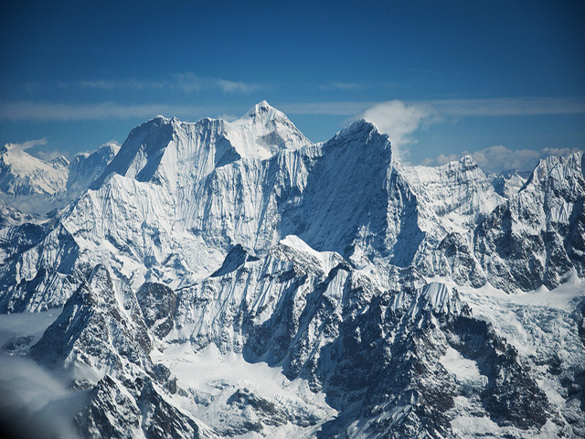
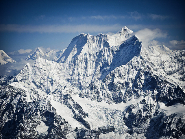
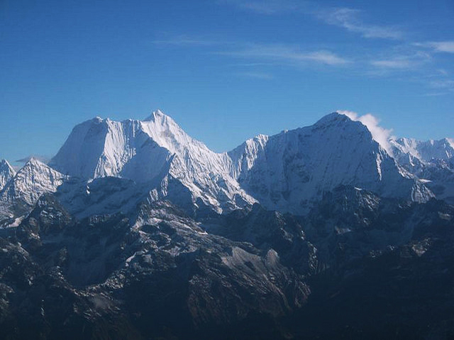
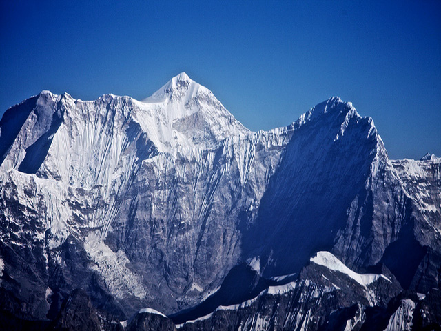
Melungtse (7,181 m) is the highest mountain of the Rolwaling Himal. It has a long summit ridge with the east (main) summit and the west summit, known as Melungtse II (7,023 m). Its steep faces make it harder than its height would suggest. It lies just north of the Nepal-China border, on a western spur of the main north-south ridge of the Rolwaling Himal, in Tingri County, Shigatse Prefecture of Tibet.
Across the Menlung Chu to the south-west stands Gauri Sankar, a bit lower (7,134 m) but far more visible from Nepal, and so better known. Melungtse is about 40 km west of Everest. The area is also tied to yeti lore: in 1951 Eric Shipton photographed strange footprints in the snow on the Menlung glacier nearby, and the images became famous.
The mountain was long closed to climbers and has been climbed only a few times. Access is controlled by Chinese authorities and is limited to well-organised expeditions. The Rolwaling valley trek on the Nepal side gives distant views.
Image From Flickr: Suraj Manandhar , EarthOwned , Randomix
Featured Adventure
Quick Answers about Melungtse
What is the elevation of Melungtse?
Melungtse is at an elevation of 7,181 m / 23,560 ft.
Where is Melungtse located?
Melungtse is located at latitude 27.9725, longitude 86.431667.

