




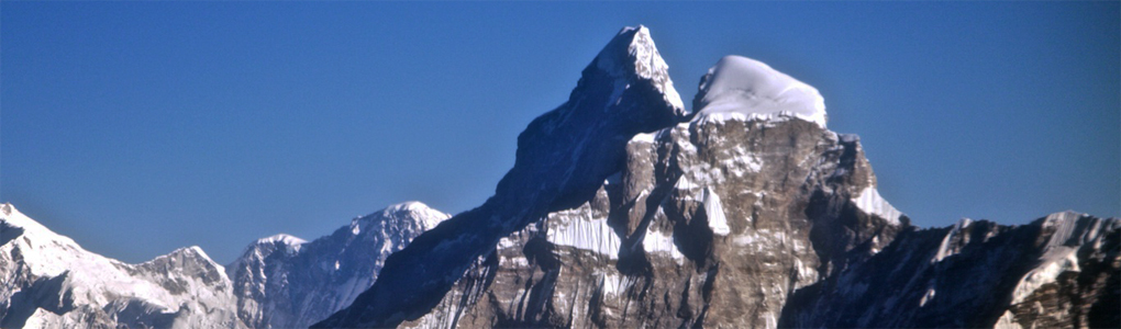
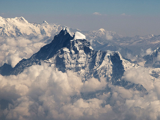
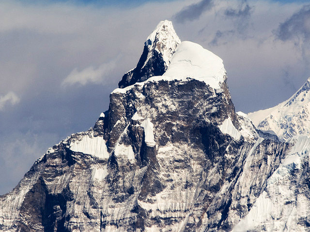
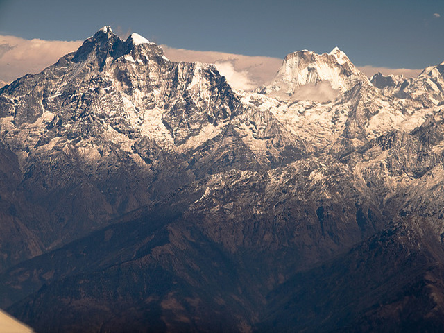
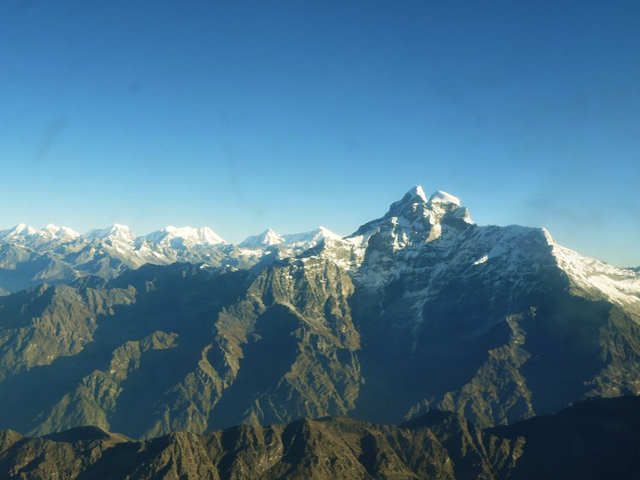
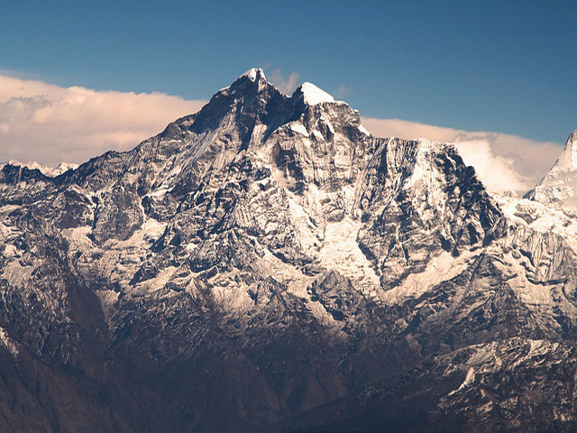
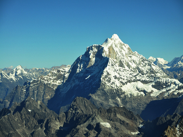
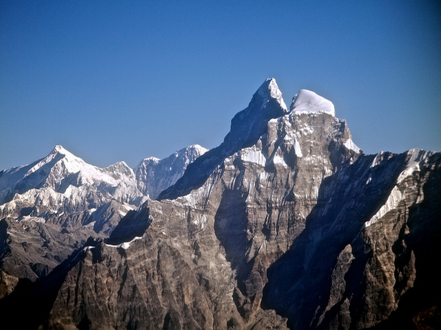
Gauri Sankar is the second highest peak of the Rolwaling Himal, after Melungtse (7,181 m). Its name joins the Sanskrit for the goddess (Gauri) and her consort (Shankar), a sign of the reverence the peoples of Tibet and Nepal show it. At 7,134 m, it lies near the western edge of the Rolwaling Himal, about 100 km north-east of Kathmandu, almost exactly between the capital and Mount Everest, and it can be seen from Kathmandu on a clear day.
The Bhote Kosi valley, the western boundary of the Rolwaling Himal, lies to its west. To the north the Menlung Chu separates it from its sister peak Menlungtse. To the south the Rolwaling Chu leads up to the Tesi Lapcha pass, which gives access to Khumbu. The peak is in the Dolakha district. For many years it was thought to be Mount Everest, because the early surveyors saw it from a distance and mistook it for the highest peak; the confusion was cleared up in the 19th century.
Gauri Sankar was long closed to climbers because of its sacred status, and it was first climbed only in 1979. Ascents are rare and highly technical. Trekkers can see the mountain from the Rolwaling valley trek, a wild route that crosses the Tesi Lapcha. The best seasons are spring and autumn.
Image From Flickr: John Town , Prabin Silwal , Randomix
Featured Adventure

Quick Answers about Gauri Sankar
What is the elevation of Gauri Sankar?
Gauri Sankar is at an elevation of 7,134 m / 23,406 ft.
Where is Gauri Sankar located?
Gauri Sankar is located at latitude 27.983333, longitude 86.333333.

