




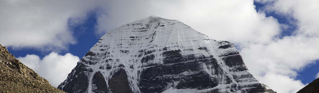
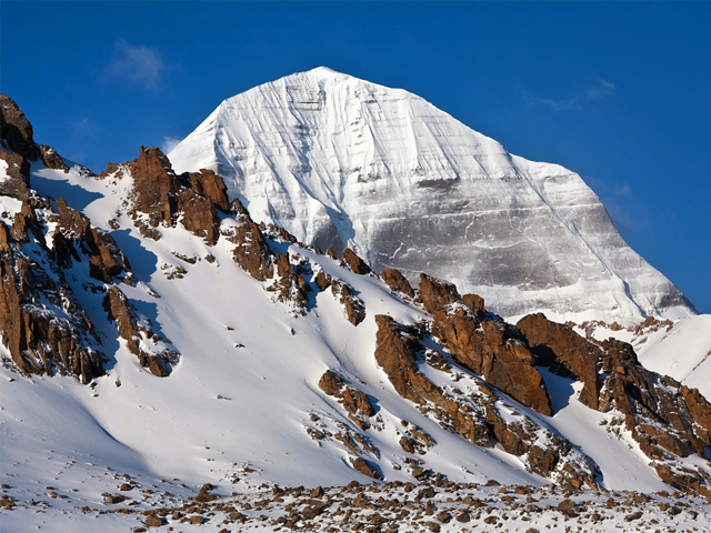
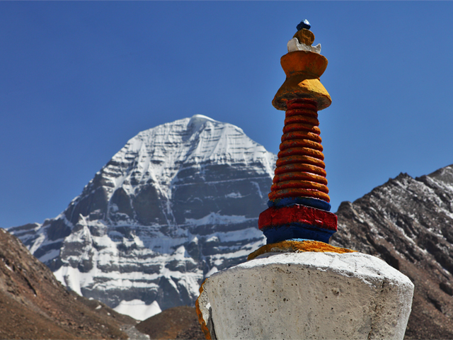
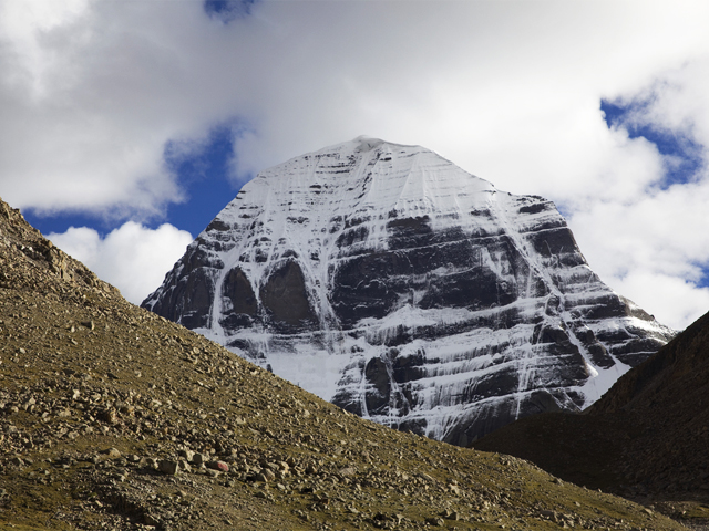
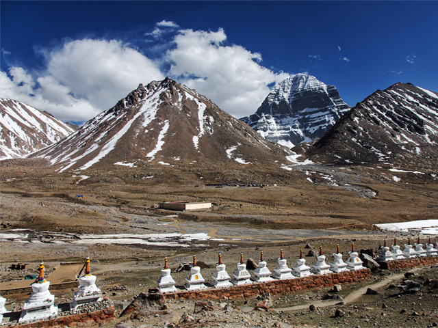
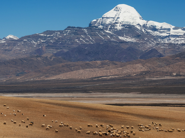
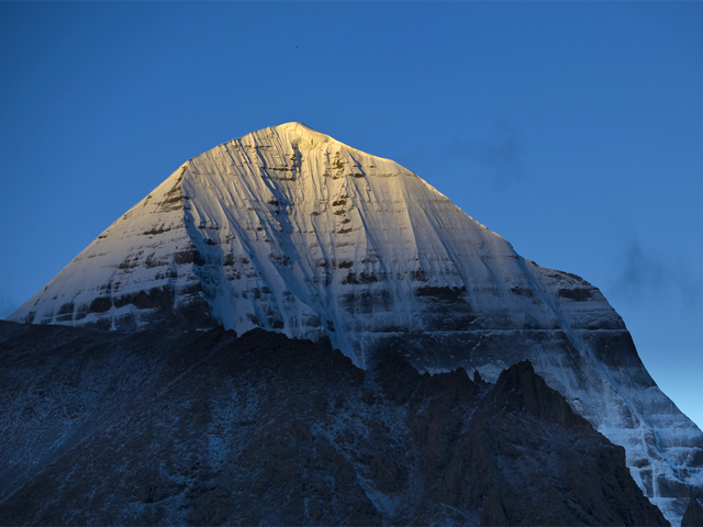
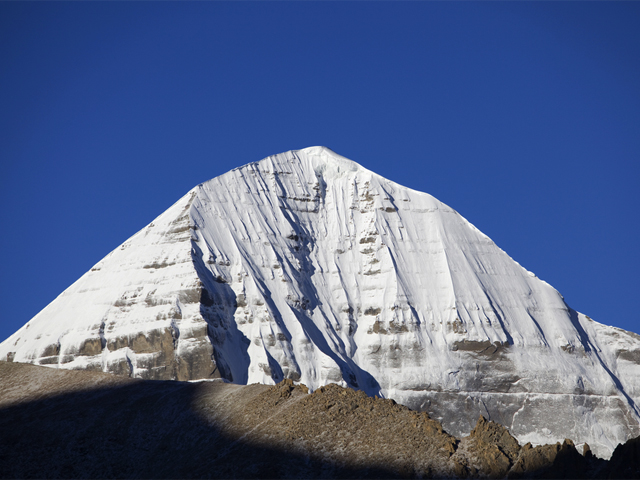
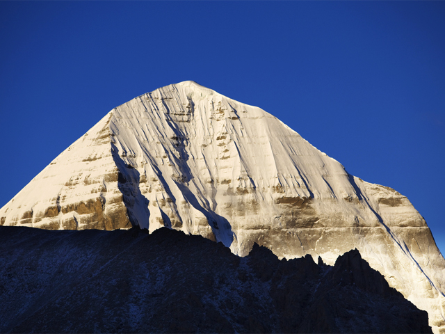
Mount Kailash belongs to the Kailas Range, part of the Transhimalaya in Tibet. It stands near the sources of some of Asia's longest rivers: the Indus, the Sutlej (a major tributary of the Indus), the Brahmaputra and the Karnali (a tributary of the Ganga). Four religions hold it sacred: Bon, Buddhism, Hinduism and Jainism. Lakes Manasarovar and Rakshastal lie close by. Its Tibetan name is Gangs Rin-po-che: gangs (or kang) means snow peak, and rinpoche is an honorific meaning "precious one", so the name is usually translated "precious jewel of snows".
At 6,638 m, it is not especially high by Himalayan standards, but its form, a near-perfect pyramid with a black rock face and a snow cap, makes it unique. Hindus see it as the abode of Shiva, Buddhists as the home of Demchok, and Jains as the place where the first Tirthankara attained liberation. For this reason, the mountain has never been climbed, and pilgrims walk around it instead.
The kora, or circumambulation, is 52 km long and takes about three days, crossing the Dolma La pass at 5,630 m. Hindu and Buddhist pilgrims walk it clockwise, while Bon followers walk anticlockwise. Completing a circuit is believed to erase the sins of a lifetime. Most pilgrims arrive from Nepal or by the Lhasa route, and they must have Tibet permits and a registered agency. The pilgrimage season runs from May to September, with the Saga Dawa festival in May or June drawing large crowds.
Featured Adventure

Quick Answers about Mount Kailash
What is the elevation of Mount Kailash?
Mount Kailash is at an elevation of 6,638 m / 21,778 ft.
Where is Mount Kailash located?
Mount Kailash is located at latitude 31.066667, longitude 81.3125.
What is Mount Kailash also known as?
Mount Kailash is also known as Gangs Rin-po-che.

