




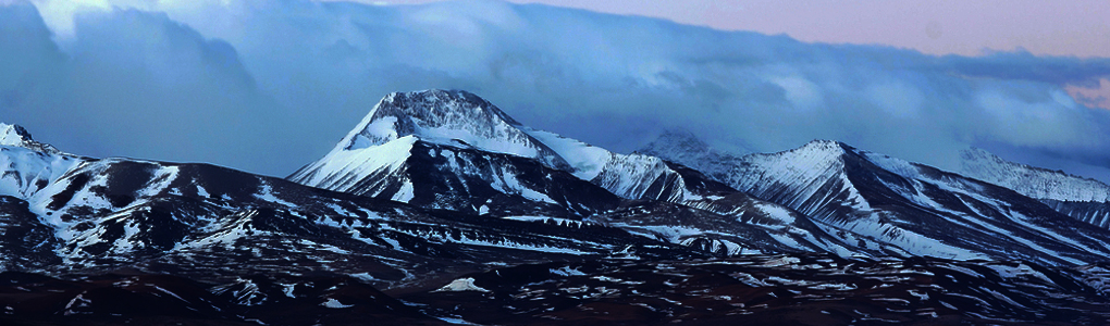
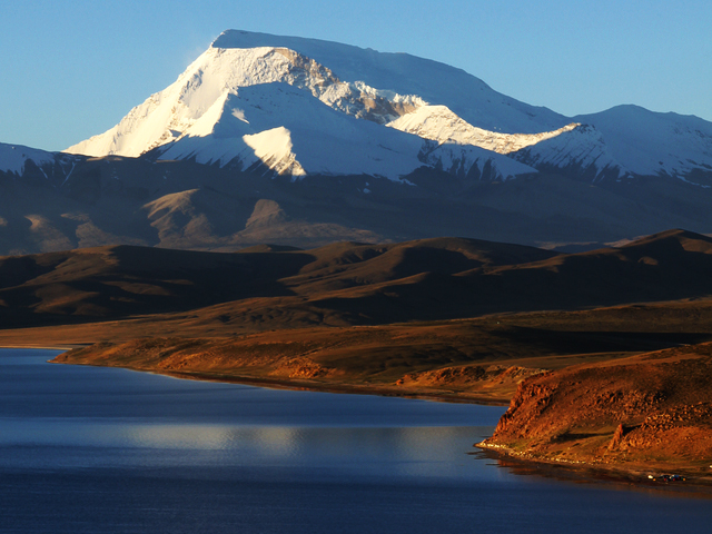
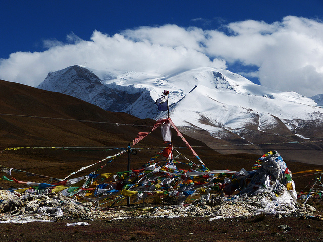
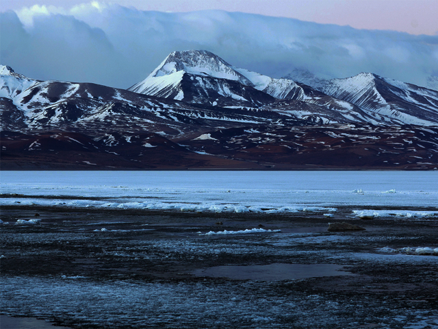
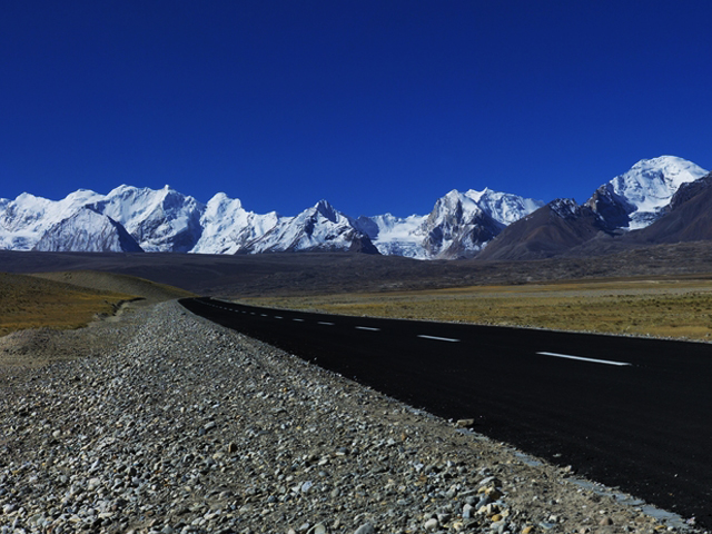
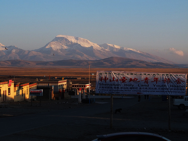
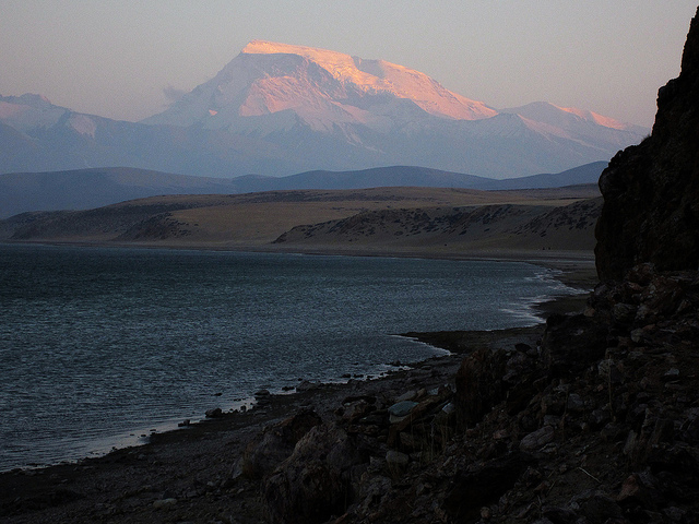
Gurla Mandhata, also called Naimona'nyi or Memo Nani, is the highest peak of the small Nalakankar Himal range. At 7,694 m, it is in Burang County of Ngari Prefecture in the Tibet Autonomous Region of China, close to the north-west corner of Nepal. Using a 500 m prominence cut-off it is the 34th highest peak in the world. It is unusual because it stands well inside the Tibetan Plateau and is a long way from any other peak above 7,500 m.
The mountain faces Mount Kailash across Lake Manasarowar, and the two lakes of Manasarowar and Rakshastal lie at its foot. For pilgrims on the Kailash Mansarovar Yatra, Gurla Mandhata is a constant presence, its great white dome visible from the shores of the lake. It is named after King Mandhata, who in Hindu legend meditated at the foot of the mountain. Tibetans call it Naimona'nyi, and Buddhists regard it as sacred.
The first ascent was made in 1985 by a Sino-Japanese expedition. It is a serious mountaineering objective, as the summit is exposed to wind and weather and the approach crosses remote country. Visitors to the Kailash region need Tibet permits and should travel with a registered agency. The best months are May to September, when the roads are open and the weather is more stable.
Image From Flickr: Christiane Schmaltz , Richard Weil , Ccdoh1
Featured Adventure
Quick Answers about Gurla Mandhata
What is the elevation of Gurla Mandhata?
Gurla Mandhata is at an elevation of 7,694 m / 25,243 ft.
Where is Gurla Mandhata located?
Gurla Mandhata is located at latitude 30.435833, longitude 81.295833.
What is Gurla Mandhata also known as?
Gurla Mandhata is also known as Naimona'nyi.

