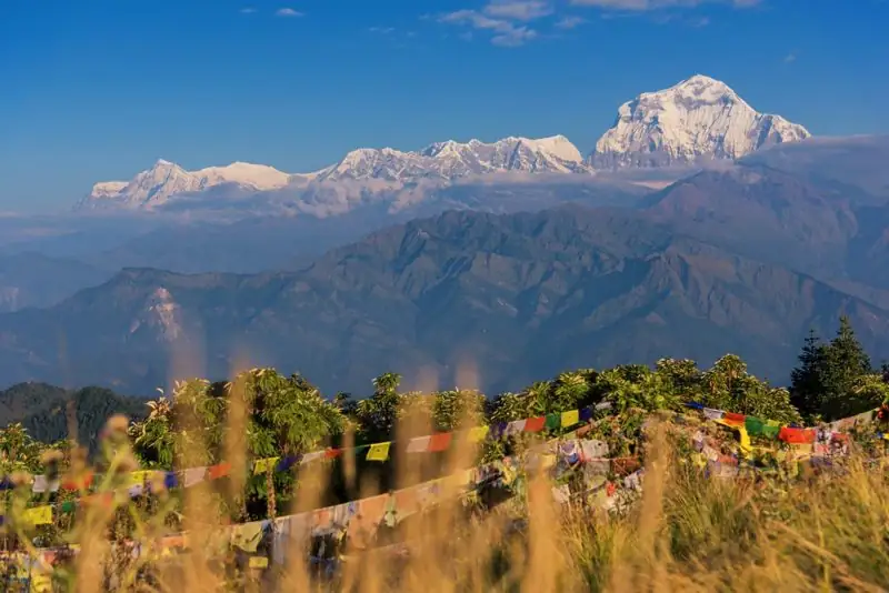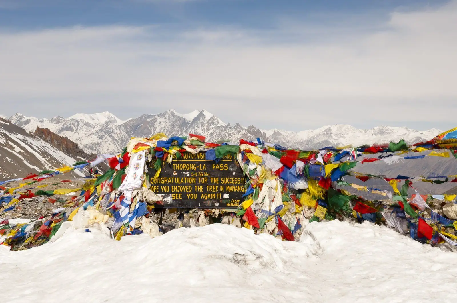
The Annapurna Circuit is a long loop around the Annapurna massif in central Nepal. It climbs the Marsyangdi river valley from subtropical farmland, crosses the Thorong La at about 5,416 m, and drops into the Kali Gandaki valley, the gorge between the Annapurna and Dhaulagiri ranges. It has been one of the world's best-known walks since foreign trekkers were first allowed to use it in the late 1970s, and it is still one of Nepal's most varied journeys.
The name and the mountain
Annapurna is a Sanskrit name often translated as "full of food" or "goddess of nourishment", linked to the Hindu goddess of the harvest. The massif includes Annapurna I at 8,091 m, the first 8,000 m peak ever climbed, by a French expedition in 1950. The Circuit does not climb that mountain; it circles it, with Annapurna II, III, IV, Gangapurna, Machhapuchhre (the Fishtail) and Tilicho Peak appearing from different sides as you move around the loop.
How it opened
Nepal opened its mountains to foreign visitors in the 1950s, but the Circuit was long difficult to access, and it was not opened to trekkers until the late 1970s. By the 1980s, it had gained international fame as a trek that offered rice terraces, rhododendron forest, Buddhist villages, a high pass and a desert-like valley in a single walk. The creation of the Annapurna Conservation Area in 1986, managed by a non-profit trust rather than by a government ministry, gave the region an unusual local-management model that still shapes lodge rules and fees.
What the road did
From the 1990s and 2000s, roads have pushed up the Marsyangdi on the east side and the Kali Gandaki on the west. Today, jeeps reach far up both sides. The effect was dramatic: parts of the old trail are now dusty road, and many trekkers choose to skip them. It also helped the local economy, because villagers can now move goods, patients and tourists faster than before. The trail has been rerouted in places, and the best walking sections are now often side trails above the road. Our guide to which sections of the Circuit to walk covers the practical decisions.
What remains special
- The climb from lowland to alpine in under a week, passing through a dozen ecological zones.
- Cultural change from Hindu and Gurung farming villages in the lower valley to Tibetan Buddhist communities in Manang and Mustang.
- The Thorong La crossing, a real high pass that still demands respect.
- The Kali Gandaki gorge, between the Annapurna and Dhaulagiri massifs, often described as one of the deepest river valleys on Earth, though measurements differ.
- Easy access to comfortable teahouses, which lets you focus on walking.
Length and scale
Distances depend on how much of the road you walk. Commonly quoted figures are 160 to 230 km. The trail has been shortened by road sections and lengthened by side trails. Time is a better measure: about 15 to 18 days for a full walk from Besisahar to Nayapul via Muktinath, or 10 to 14 days with jeep sections. For a realistic day plan, see our Annapurna Circuit itinerary and our stage-by-stage guide.
Is it still worth doing?
Yes, with a clear plan. Walk the sections that still feel like trail, ride the sections that feel like road, and use the savings in time for rest days at Manang and a buffer day before the pass. The Circuit now rewards trekkers who choose their route rather than follow the old sequence, and it also gives you a choice of what else to add: Tilicho Lake, Nar Phu, Ice Lake or Poon Hill.
Where to read next
If you are still deciding between the Circuit and the Manaslu Circuit, our blog compares them in Manaslu Circuit vs Annapurna Circuit. If you want to know how hard the Circuit is, see how hard is the Annapurna Circuit.
Common questions
How long is the Annapurna Circuit?
Roughly 160 to 230 km depending on how much of the road you walk. Time is a better guide: 15 to 18 days walking in full, or 10 to 14 with jeep sections.
What is the highest point?
Thorong La, at about 5,416 m, between Thorong Phedi or High Camp and Muktinath.
When did the Circuit open to foreigners?
It opened to foreign trekkers in the late 1970s, and became world-famous in the 1980s.
What our guests say
Excerpts from trekker reviews on our reviews page.
“Superb trek lead, fantastic experience, perfect weather prediction, had a great knowledge on all peaks.”