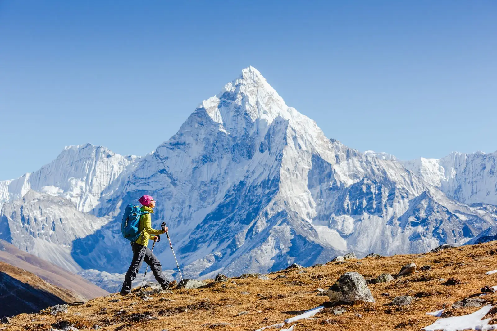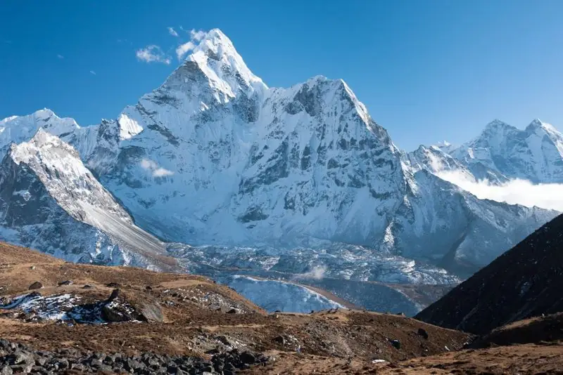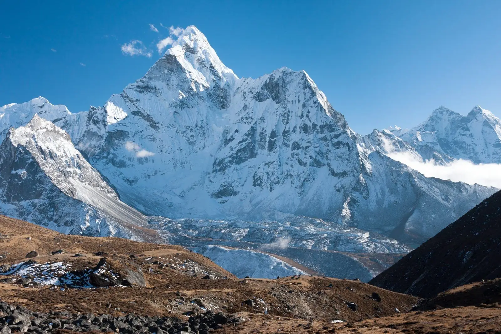
Dingboche has more good acclimatisation hikes than any other stop on the route. All start from the village and end back at your lodge, so the sleeping altitude stays the same.
Nangkartshang Peak
Altitudes and walking times on this page are approximate and differ a little between maps, GPS devices and lodges. Treat them as planning figures, not survey data.
A steep ridge above the village that reaches about 5,000 m, depending on the source. Allow 3 to 5 hours up and down. It gives views of Makalu, Lhotse and Ama Dablam. It is the hike that most clearly follows climb high, sleep low.
The ridge above Dingboche
A shorter climb to about 4,800 m on the ridge behind the village. Two to three hours total. A good choice if you feel tired or want an easier day.
Chhukhung (about 4,730 m)
A gentle valley walk of about two hours each way towards Island Peak. The height gain is modest, so it works well for tired legs. Return to Dingboche for the night.
How to choose
- Feeling strong: Nangkartshang.
- Feeling average: the ridge.
- Feeling tired or unwell: Chhukhung, or rest in the village.
Safety
Go slowly, carry water and a windproof jacket, and turn back if a headache gets worse. See when to stop.
Which hike gives the best views
Nangkartshang offers the broadest panorama, with Makalu to the east and Ama Dablam closer to hand. The ridge behind the village is easier but still offers a good view of Lhotse and the Imja valley. Chhukhung gives an up-close view of the Lhotse and Island Peak walls.
How to pace the hike
Walk at a pace where you can talk in full sentences. Stop for water every hour. If your breathing is hard, turn around early; you do not need to reach the top to get the benefit.
Common questions
How high is Nangkartshang?
About 5,000 m, depending on the source.
Is Chhukhung a good rest-day walk?
Yes. It is gentle, with a small height gain.
Can I rest completely?
If you feel unwell, yes. Just keep drinking.