Jomsom to Muktinath is the most accessible high-valley walk in Nepal. A short flight from Pokhara puts you in the Kali Gandaki valley; from there you walk north through Kagbeni to the pilgrimage site of Muktinath, with Dhaulagiri and Nilgiri on one side and the entrance to Upper Mustang on the other.
The route
Figures are approximate, and small differences between maps and your own watch are normal.
- Jomsom (about 2,720 m) to Kagbeni (about 2,800 m): a gentle 3 to 4 hour walk along the river or road.
- Kagbeni to Jharkot (about 3,550 m): a climb of around 750 m, passing terraced fields and old villages.
- Jharkot to Muktinath or Ranipauwa (about 3,710 m): a shorter, steady climb to the temple complex.
Time needed
Two to three days on foot, depending on pace and whether you use a jeep for part of the way. With flights in and out from Pokhara, a four or five day trip is realistic.
Why people walk it
- Dramatic desert-like scenery between two giant mountains.
- Easy access and good lodges.
- A pilgrimage destination for Hindus and Buddhists.
- A first taste of Mustang without a restricted-area permit.
Permits
The route lies inside the Annapurna Conservation Area, so the ACAP entry permit applies, with TIMS arranged through your agency where required. Beyond Kagbeni, Upper Mustang is a separate restricted area. See Annapurna permits, TIMS and guide rules.
Related guides
Itinerary and jeep options, Kagbeni guides and the Muktinath temple guide.
A closer look at the landscape
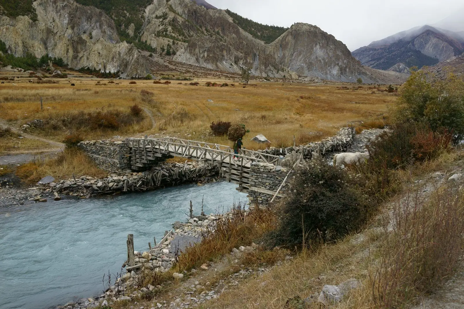
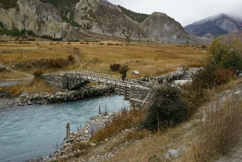
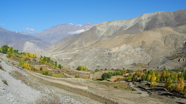
North of Jomsom the valley becomes broader, drier and more open. The river braids across a wide gravel bed, and the walls of the valley are pale, eroded and streaked with colour. The wind is a constant companion, funnelling between Dhaulagiri and the Annapurna range. Near Kagbeni, green barley and buckwheat fields contrast with the barren slopes, and the village appears like an oasis.
Who this walk suits
- First-time Himalayan trekkers who want a gentle introduction.
- Pilgrims visiting Muktinath who prefer to walk part of the route.
- Families and older travellers with a flexible pace.
- Photographers who want desert landscapes and old villages.
How it differs from the Annapurna Circuit finish
Circuit trekkers arrive at Muktinath after crossing Thorong La, tired and at altitude. Walkers on this route arrive fresh from Jomsom and can enjoy the temple and village at leisure. The experience is quite different, and it is a good option if you want Muktinath without the pass.
Common questions
How long is Jomsom to Muktinath?
Two to three days on foot, or one day by jeep.
Do I need a restricted-area permit?
No. The route is in the Annapurna Conservation Area and uses ACAP and TIMS rules. Restricted rules start beyond Kagbeni for Upper Mustang.
How high is Muktinath?
About 3,710 m.