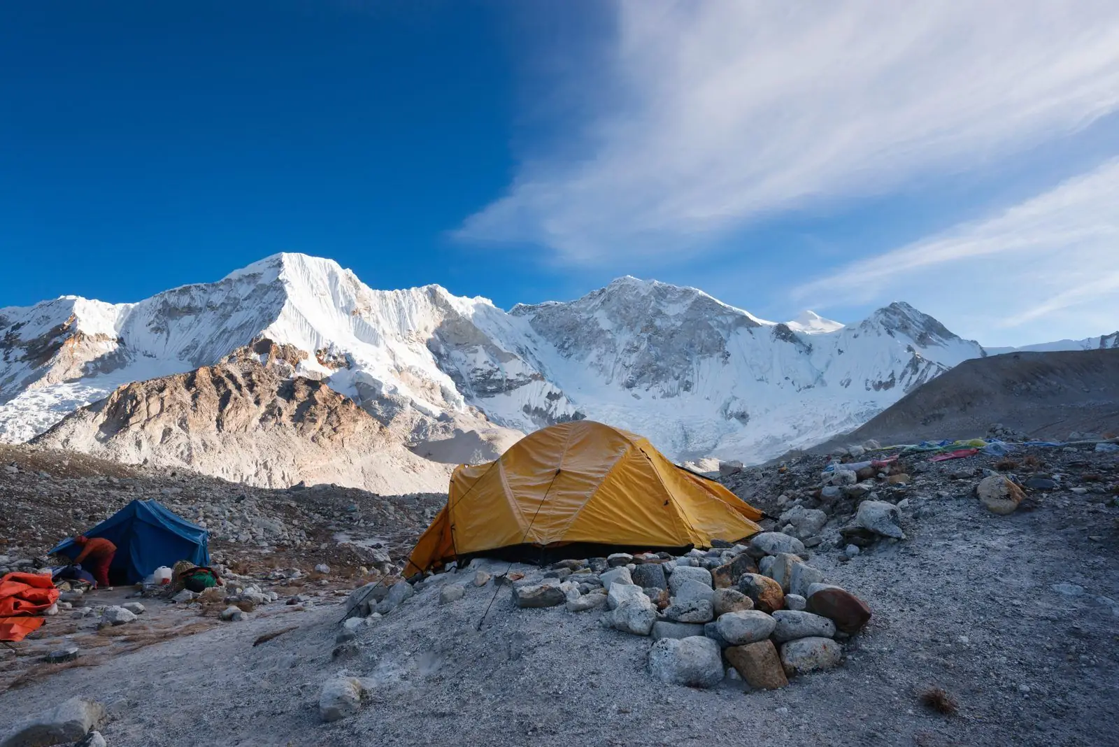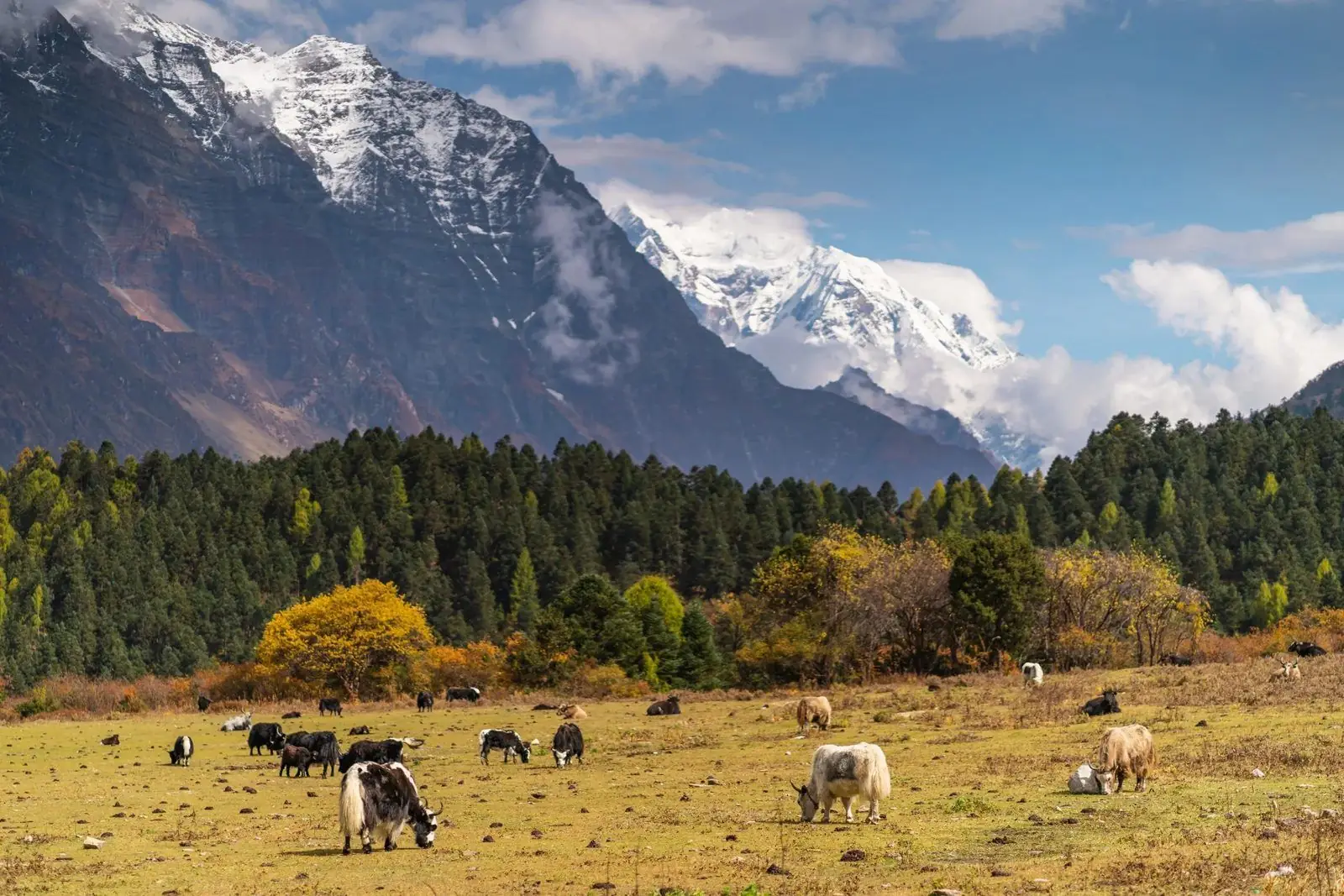
Langtang Lirung is a 7,227 m peak and the highest in the Langtang Himal, close to the Tibet border north of Kathmandu. It towers above Kyanjin Gompa and is seen from the Langtang trek. It is a serious climb for experienced mountaineers, not a trekking peak.
Where it is
The peak stands at the head of the Langtang valley, in the Langtang National Park, north of Kathmandu. From the valley floor it rises more than 3,000 m in a few kilometres, which makes it feel enormous.
History
The first ascent was in 1978 by a Japanese team. Since then, the peak has seen few ascents, and attempts have faced avalanches and steep, mixed ground.
Why it is respected
The mountain is steep and heavily glaciated, with avalanche-prone slopes on several routes. It is climbed with expedition permits and experienced teams only.
How most visitors meet it
Most people never climb it. They see it from the trail to Kyanjin Gompa, where the north face fills the head of the valley, and from viewpoints such as Kyanjin Ri.
A reminder of the earthquake
The 2015 earthquake and avalanche devastated parts of the Langtang valley. The villages have been rebuilt, and trekking is an important part of local recovery.
Names and spellings
The name is also spelled Langtang Lirung or Lirung. The wider range is the Langtang Himal, which also includes Langtang Ri and several other peaks above 6,000 m. Local names and maps differ slightly.
Safety and respect
The valley was badly hit in 2015, and local people lost family and homes. Visit with care, follow local advice and support local businesses.
Plan it
See the climbing route and difficulty and how to see it on a trek.