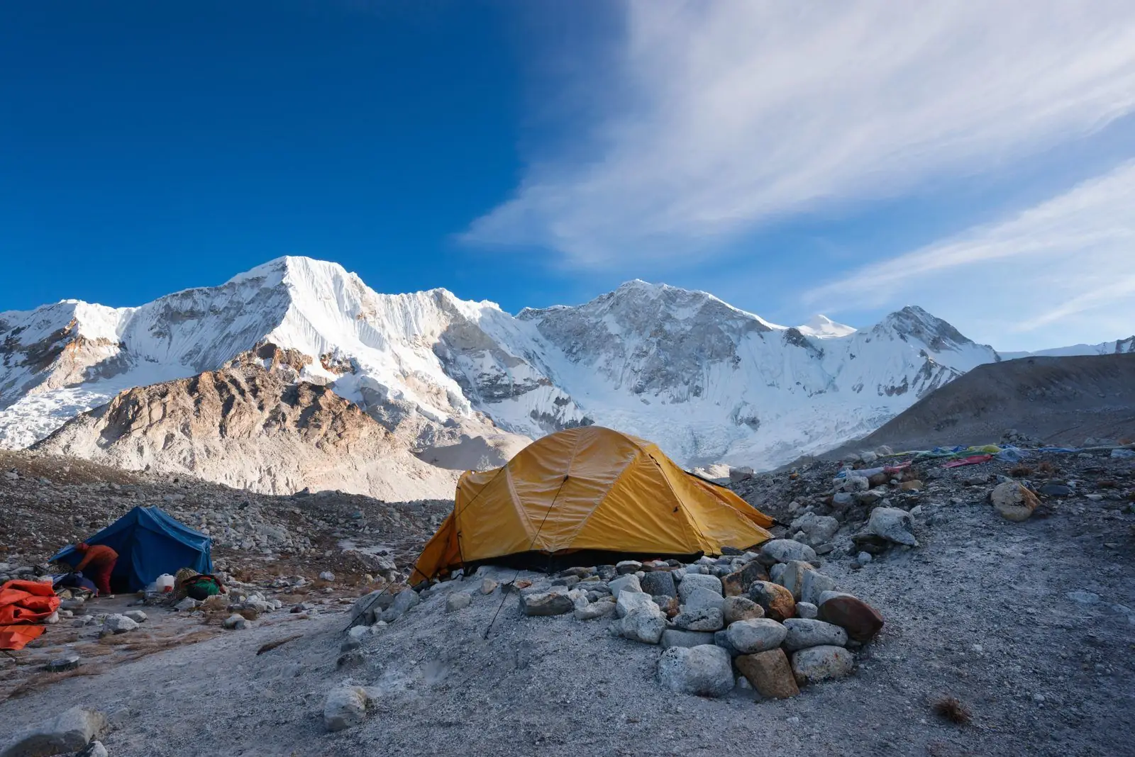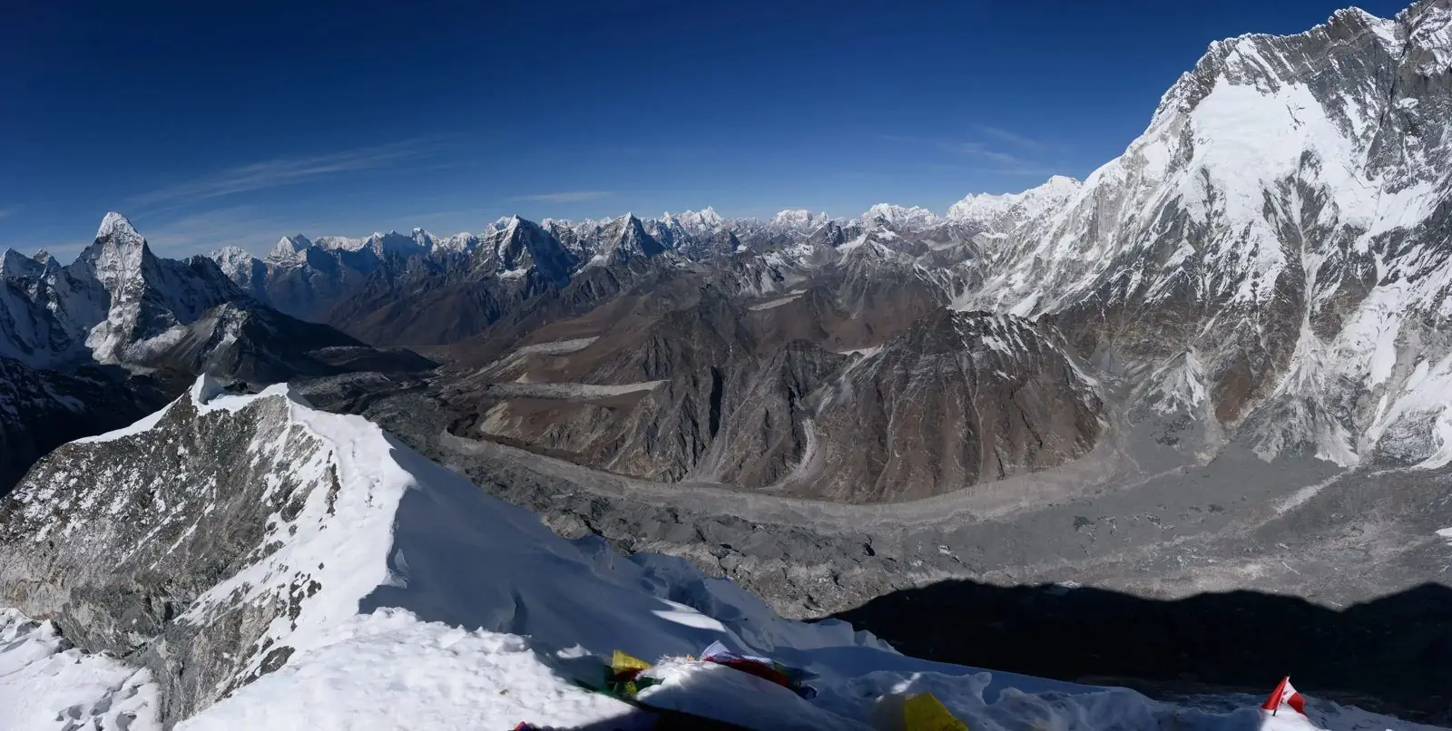
Sagarmatha National Park, which surrounds Mount Everest, was established on 19 July 1976 and was declared a UNESCO World Heritage Site in 1979. It covers 1,148 square kilometres, with a buffer zone of another 275 square kilometres.
Altitude range
The park runs from about 2,845 m at Monjo up to the summit of Everest at 8,848 m.
Rules for visitors
Trekkers pay a park entry fee at the entrance. Fees change, so check the current amount with your agency.
What it protects
The park covers the upper Dudh Kosi and Bhote Kosi valleys and the high peaks around Everest. A buffer zone of 275 square kilometres surrounds the main park. Because it runs from 2,845 m to 8,848 m, it holds forest, alpine meadow, glacier and bare rock in one protected area.
Questions people ask
- When was it set up? 19 July 1976.
- When did UNESCO list it? 1979.
- How big is it? 1,148 square kilometres, plus the 275 square kilometre buffer zone.
- Does the Everest Base Camp trek enter it? Yes, from Monjo onward.
Plan it
The Everest Base Camp trek passes through the park. See Everest fun facts and the Everest Base Camp guides.