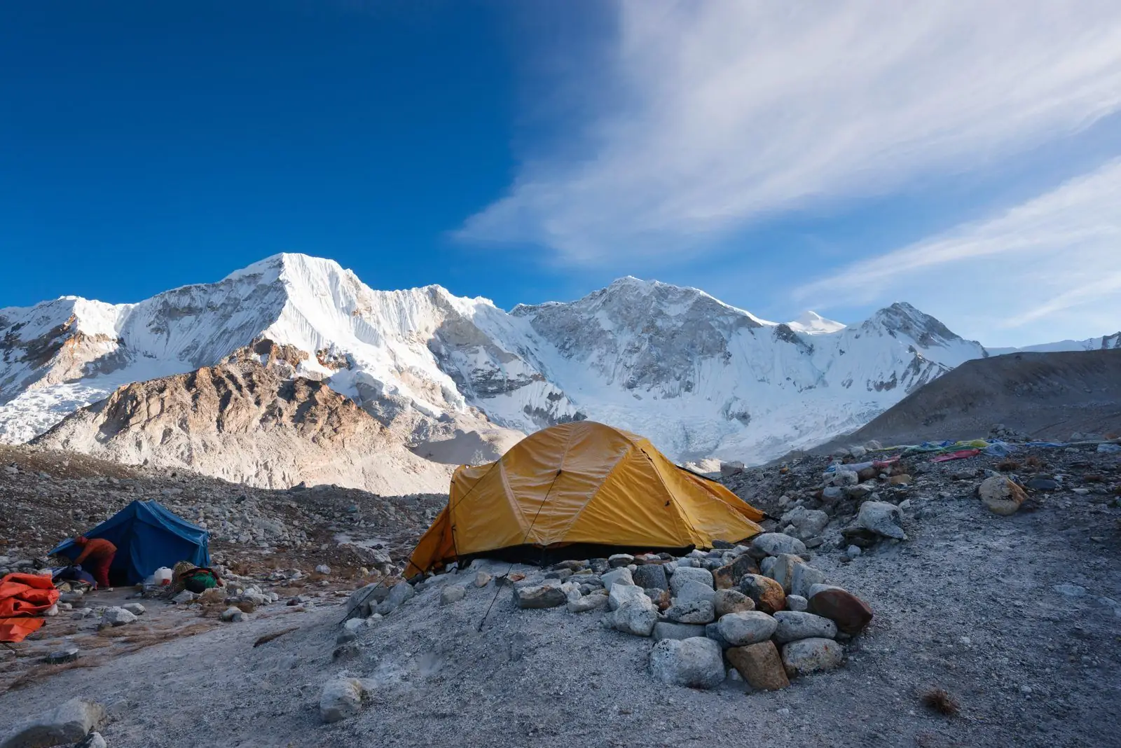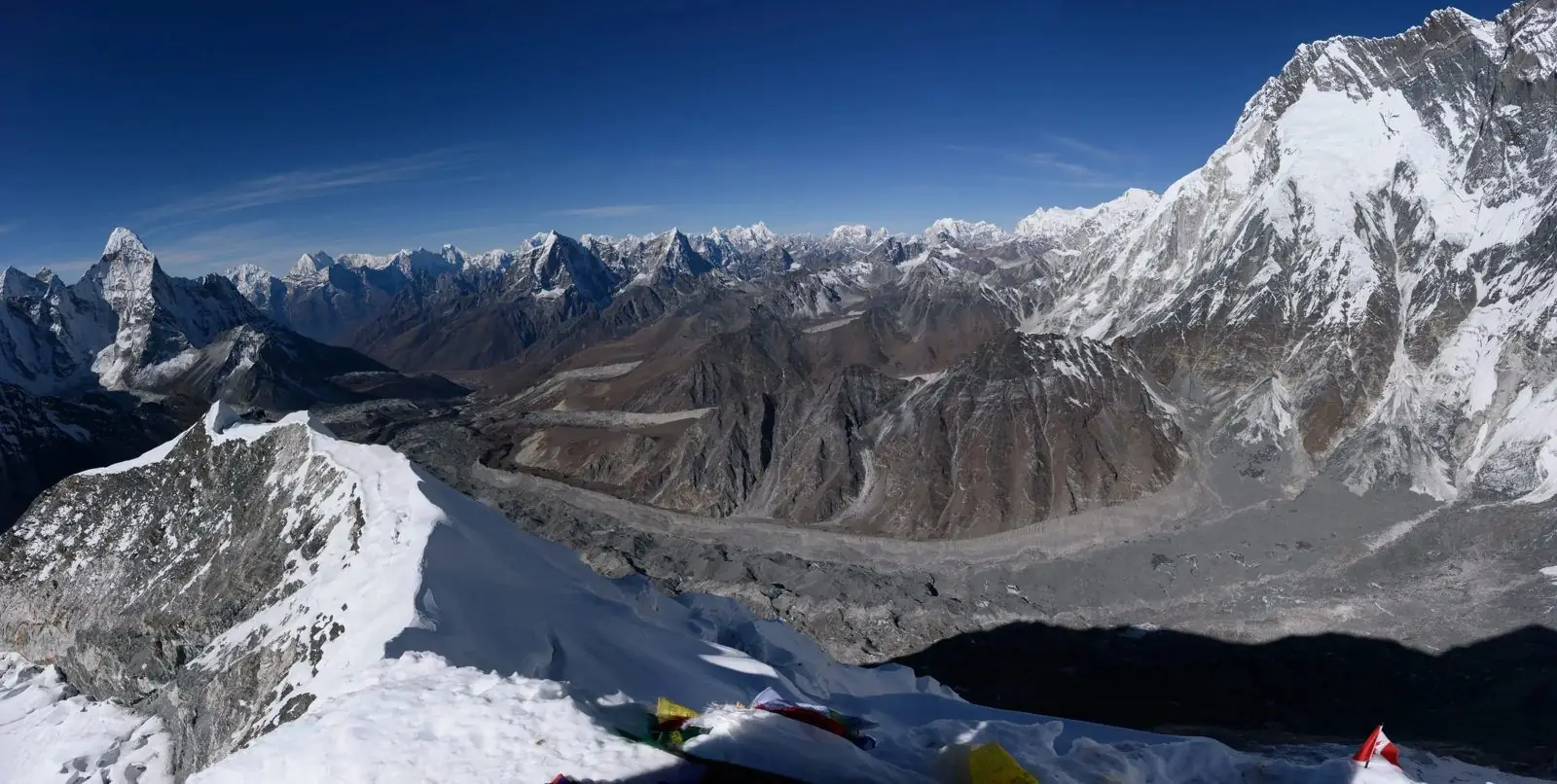
Mount Everest stands on the border between Nepal and the Tibet Autonomous Region of China, in the Mahalangur section of the Himalaya. On the Nepal side it lies in the Khumbu region, in Solukhumbu district, inside Sagarmatha National Park.
The short answer
Everest sits on the Nepal and China border. The summit is on the line between the two countries. Nepal uses the south side for the standard route, and China uses the north side, from Tibet.
The Khumbu region in Nepal
Khumbu is the high valley country below the mountain. Its main villages include Lukla, Namche Bazaar, Khumjung, Tengboche, Dingboche and Lobuche. Most of it lies inside Sagarmatha National Park, which was listed as a UNESCO World Heritage Site in 1979.
How people get there
Most travellers fly from Kathmandu to Lukla, a flight of about half an hour, and then walk. Others drive part of the way and start at Salleri, Phaplu or Jiri. Lukla is the usual starting point. See flying to Lukla.
Everest from the Tibet side
The north side is reached by road through Tibet. It needs permits and a group booking, and the rules for foreign visitors can change. Check the current rules before planning.
The nearby giants
Everest sits beside Lhotse (8,516 m), Nuptse (7,861 m) and Cho Oyu (8,188 m), and several of the world's highest peaks stand within a short distance of each other. See Lhotse facts.
Where trekkers go
Trekkers go to Everest Base Camp, at about 5,364 m, and climb Kala Patthar for the best view. Everest itself is hidden behind Nuptse from the base camp. See where to see Everest.
Everest on the map
The summit is at about 27.99 degrees north and 86.93 degrees east. In Nepal, the nearest big town is Namche Bazaar, about two days of walking below Everest Base Camp. The nearest city is Kathmandu, about 160 km to the west as the crow flies.
Sagarmatha National Park
The park covers about 1,148 square kilometres, and its altitude runs from around 2,800 m to the summit. You need a park entry permit to walk in Khumbu, and local rural municipality permits also apply. Your agency arranges these.
Sherpa communities
Khumbu is the home of the Sherpa people, whose villages, monasteries and prayer walls line the trail. Respectful behaviour, such as walking to the left of mani walls, is part of the experience.
How far is it?
The classic trek from Lukla to Everest Base Camp is about 65 km each way and takes around eight to nine days on the way up and three to four on the way down. For the route in days see how many days the trek takes.
Plan it
Read the height and what the trek costs.