Ponker Lake, also written Ponkar Lake, is a high lake at about 4,100 m above the settlement of Bimthang, on the Manaslu side of the Larkya La route. It is known for its wide shape, which a visitor described as resembling the map of Nepal, and for wildflowers around it in the monsoon.
Where it is
The lake lies beyond Bimthang, at the eastern end of the Manaslu Circuit trail. It is reached from Dharapani, the gateway to the Annapurna Circuit, so operators describe it as lying between the Manaslu and Annapurna routes.
Names and spelling
You will see Ponker, Ponkar and Ponkar Pokhari used. They all mean the same lake. The lake altitude is quoted as 4,100 m by most operators and 4,200 m by a few, and one 9-day itinerary lists about 3,970 m for the lake day. We use about 4,100 m.
The shape
A 2017 Kathmandu Post travel piece describes the lake as spreading out in a shape like Nepal's map, edged with flowers of many colours in the monsoon.
A local legend
A photo caption in the same article says local belief holds that the god Mahadev (Shiva) bathed in the lake.
Mountains you may see
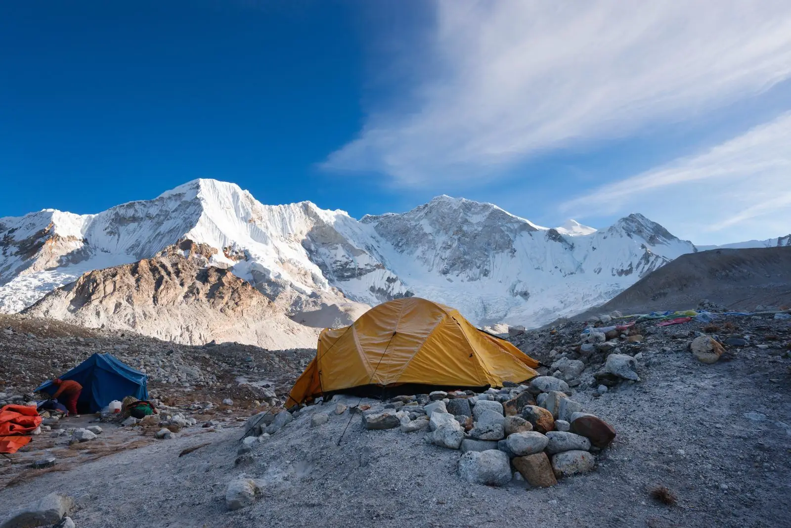
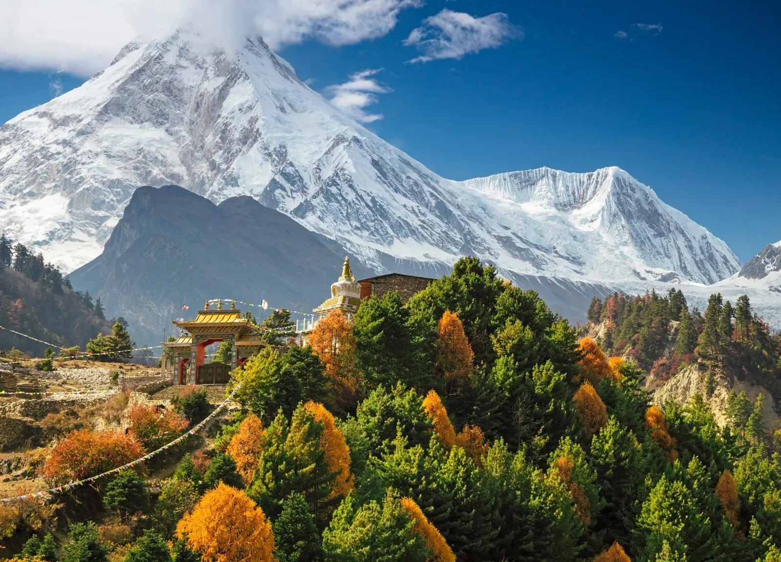
Operators list Manaslu, Cheo Himal, Himlung, Larke Peak and Ponkar Peak among the peaks around the lake. Clouds often hide the views by midday, so start early.
Common questions
- How high is Ponker Lake? About 4,100 m.
- Is it on the Manaslu Circuit? It is a side trip from Bimthang near the end of the circuit.
- Is the lake frozen? In winter it can be, and the area is very cold.
Plan it
See the itinerary and altitudes or permits, difficulty and season.