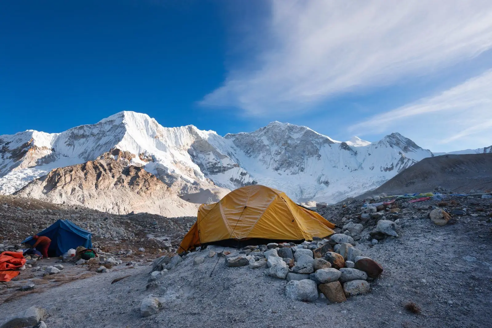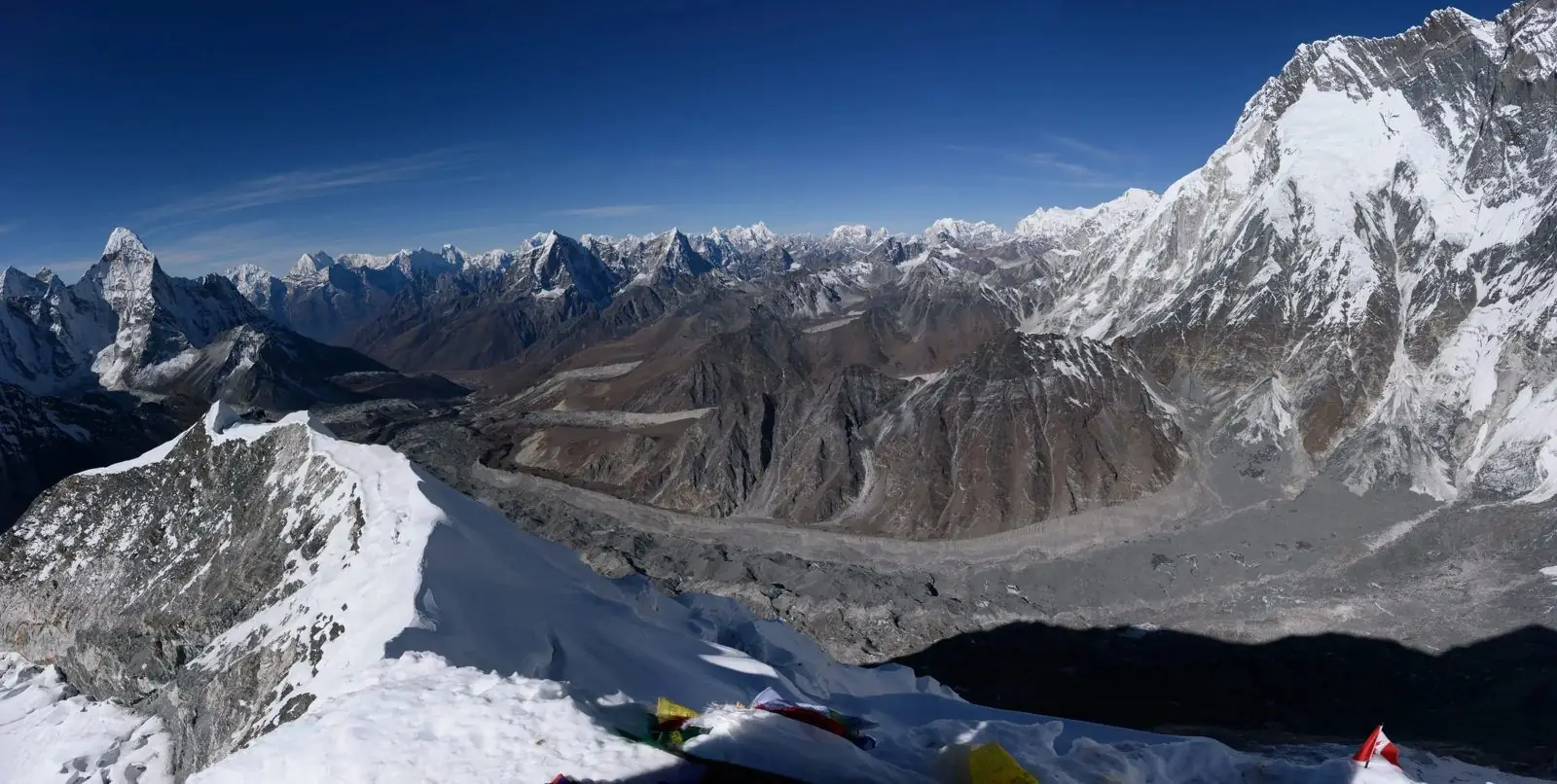
Gyachung Kang is a 7,952 m peak in the Khumbu, standing between Cho Oyu and Everest on the border with Tibet. It is the highest mountain in the world below 8,000 m, which gives it a place in every list of Nepal giants even though few trekkers know its name.
A giant that just misses the club
At 7,952 m (26,089 ft), Gyachung Kang is only 48 m short of the 8,000 m mark. That small gap decides its fame: it is counted as the highest 7,000 m peak, and also the fifteenth highest mountain overall. Because it sits in the shadow of much bigger neighbours, it is overlooked by most visitors, but it is a huge, heavy mountain with a broad glaciated summit.
Where it stands
The peak belongs to the Mahalangur section of the Himalaya, in the Khumbu district of Solukhumbu, and the border with Tibet runs along its crest. It lies on the ridge that links Cho Oyu in the west to Everest in the east, and it forms part of the high wall above the Ngozumpa glacier on the Gokyo side.
Name and meaning
The name is Tibetan in origin, and sources translate it differently, so treat any single meaning with caution. Local people on the Sherpa side know the peak, and your guide may use another name for it, which is normal in the Himalaya.
The first ascent
A Japanese team made the first ascent on 10 April 1964, with Yukihiko Kato, Kiyoto Sakaizawa and the Sherpa climber Pasang Phutar reaching the top. It was an early spring climb, at a time when most expeditions in the region went in May. Climbs since then have been few, and the peak is not on the commercial list.
Seeing it from the trail
You cannot see Gyachung Kang from Everest Base Camp, because Everest and its ridges hide it. Its best views for walkers come on the Gokyo side, from the shores of the lakes and from the high viewpoint of Gokyo Ri, where the big wall of Cho Oyu and its neighbours fill the northern skyline. Ask your guide to point it out on a clear morning, because the peaks in that line look alike at a distance.
Why so few people climb it
The mountain is high, remote and has no easy route. Climbers need to cross heavy glaciers, spend days above 6,000 m and deal with cold winds. It also needs border permits and a plan that allows for the Chinese side, so only a handful of teams have tried it. It is a mountain for specialist climbers, not for the trekking market.
How it fits on your trek
A trek to Gokyo, or one that combines Gokyo with the Three Passes, is the best way to appreciate this part of the Himalaya. Read the Gokyo Lakes guide and the Cho Oyu guide to put the skyline in order.
Common questions
Is Gyachung Kang higher than 8,000 m? No, it falls just short, at 7,952 m. Is it in Nepal or Tibet? Both, because the border runs over its summit area. Can I climb it? Only as a full expedition with the right permits, and it is not a normal trekking peak.
Why heights are not always the same
Mountain heights are measured by teams with different instruments, and over the years the figures for Gyachung Kang have varied slightly between maps and publications. The 7,952 m value is the one most lists use today, and it matters because it keeps the peak just under the 8,000 m line. If you meet a different figure in an older book, it is usually down to the survey, not to the mountain changing.
Gyachung Kang and the Gokyo valley
The Gokyo valley is the best place for a walker to get a sense of how big this part of the Himalaya is. The Ngozumpa glacier, the longest in Nepal, runs below a wall of peaks that includes Cho Oyu, and Gyachung Kang is part of the same crowd. Spending two nights at Gokyo gives you the chance to climb to the viewpoint twice, once at sunrise and once in the late afternoon, and compare how the light changes the shapes.
What to look for in a photograph
Telephoto compression makes the mountains on the Nepal-Tibet ridge look stacked behind one another. Gyachung Kang usually appears as a broad, heavy block of snow with long ridges rather than a pointed spire. A guide with a good map app can confirm it for you. Write the name next to the picture while the memory is fresh, because it is easy to confuse these peaks later.
A note on the border
The mountain sits on the frontier between Nepal and Tibet, so expedition rules depend on two sets of authorities. This is one reason why it is climbed so rarely. For trekkers the border has little effect, because the usual trekking routes stay well inside Nepal.