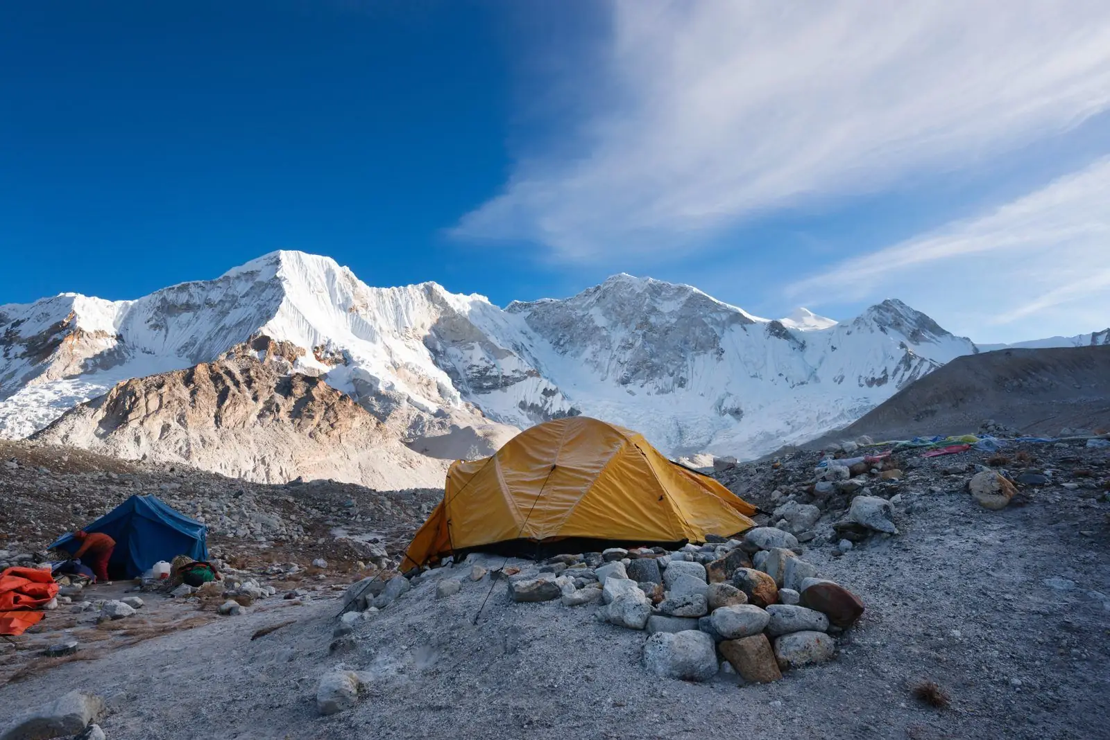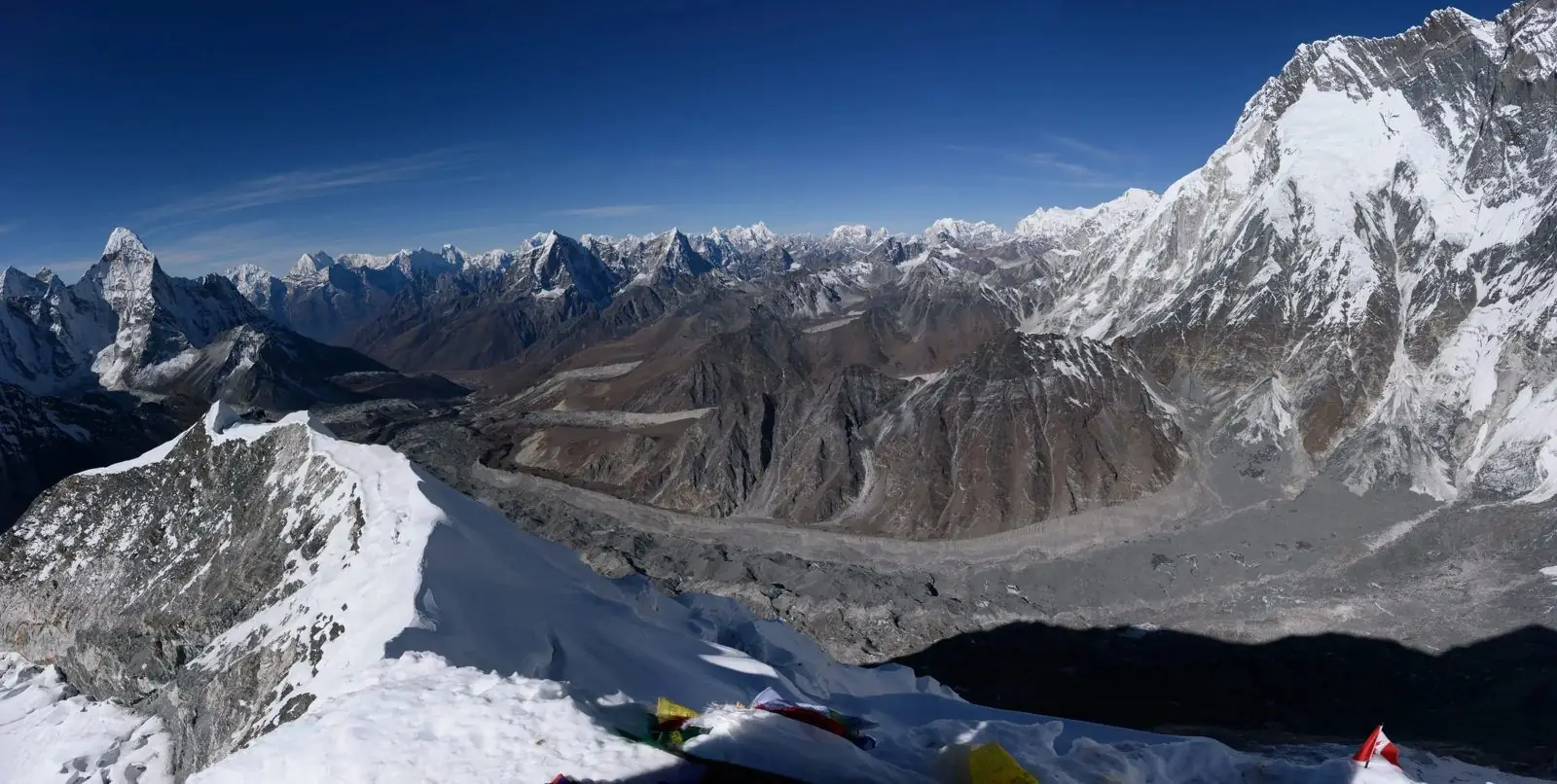
Thamserku is a steep, jagged peak of 6,623 m that dominates the skyline for much of the first part of the Everest trek. It rises almost straight from the Dudh Kosi valley, and its rock-and-ice faces make it one of the most dramatic mountains you will see from Namche, Phakding and Tengboche.
The first big mountain
Thamserku is often the first serious Himalayan peak that new trekkers learn to name. It appears soon after you leave Lukla and stays with you across the next few days, changing shape as the angle changes. The height is 6,623 m (21,729 ft).
How to recognise it
Look for a long ridge with a sharp, saw-like top on the east side of the valley when walking north. From Namche Bazaar it stands to the east, above the Bhote Kosi. Its steep faces catch the sun early, so it often glows in the first light of morning.
Neighbours
Thamserku belongs to the group that includes Kangtega and Kusum Kangguru. Together they form a wall on the east side of the Dudh Kosi. Ask your guide which is which, because from some spots two peaks overlap.
First ascent
The first ascent was made in 1964, in a period when many peaks of this size were being climbed for the first time. The climb is serious, with steep faces, hanging ice and a lot of objective danger, and it is not common even among experienced alpinists.
Why trekkers rarely climb it
Unlike Island Peak, Thamserku has no easy line. The faces are steep, avalanche-prone and technical. For almost everyone it is a mountain to admire from the trail, and to photograph from Namche, Kyangjuma or the monastery at Tengboche.
Best viewpoints
Kyangjuma, the ridge above Namche, the Everest View Hotel area and Tengboche all give clear views. Start early, because clouds tend to gather over the valley after midday. On the way down, look back for a different profile.
Season
October and November give the crispest air. April and May give warmer days and rhododendron blooms below. Monsoon cloud hides the peaks for much of June to August.
Common questions
Is Thamserku visible from Everest Base Camp? No, it is on the lower part of the trek. Can I climb it on a permit for trekking? No. Is it higher than Ama Dablam? No, Ama Dablam is higher.
The valley below the peak
The Dudh Kosi valley is deep, and the walk from Phakding to Namche runs along the bottom, with suspension bridges that sway over the green water. Thamserku appears between the trees and then disappears again. The contrast between the dense forest below and the bare rock face above is part of what makes it so striking.
Photography tips
Early morning from the viewpoints around Namche gives soft light on the face. In the afternoon the sun moves behind the peak and it becomes a dark silhouette. If you want colour, plan to be in position soon after sunrise, and bring a lens that can capture the full height of the mountain.
Monsoon and winter
From June to August cloud covers much of the area, and the mountain is often hidden. In winter the peak is clear but the valley is cold, and snow may cover the trail. Autumn and spring remain the best times to see it.
Local meaning
For people living in the valley the surrounding mountains have religious meaning and are not simply scenery. Respect for sacred peaks and local custom is part of a good trek, and your guide will explain what is appropriate.