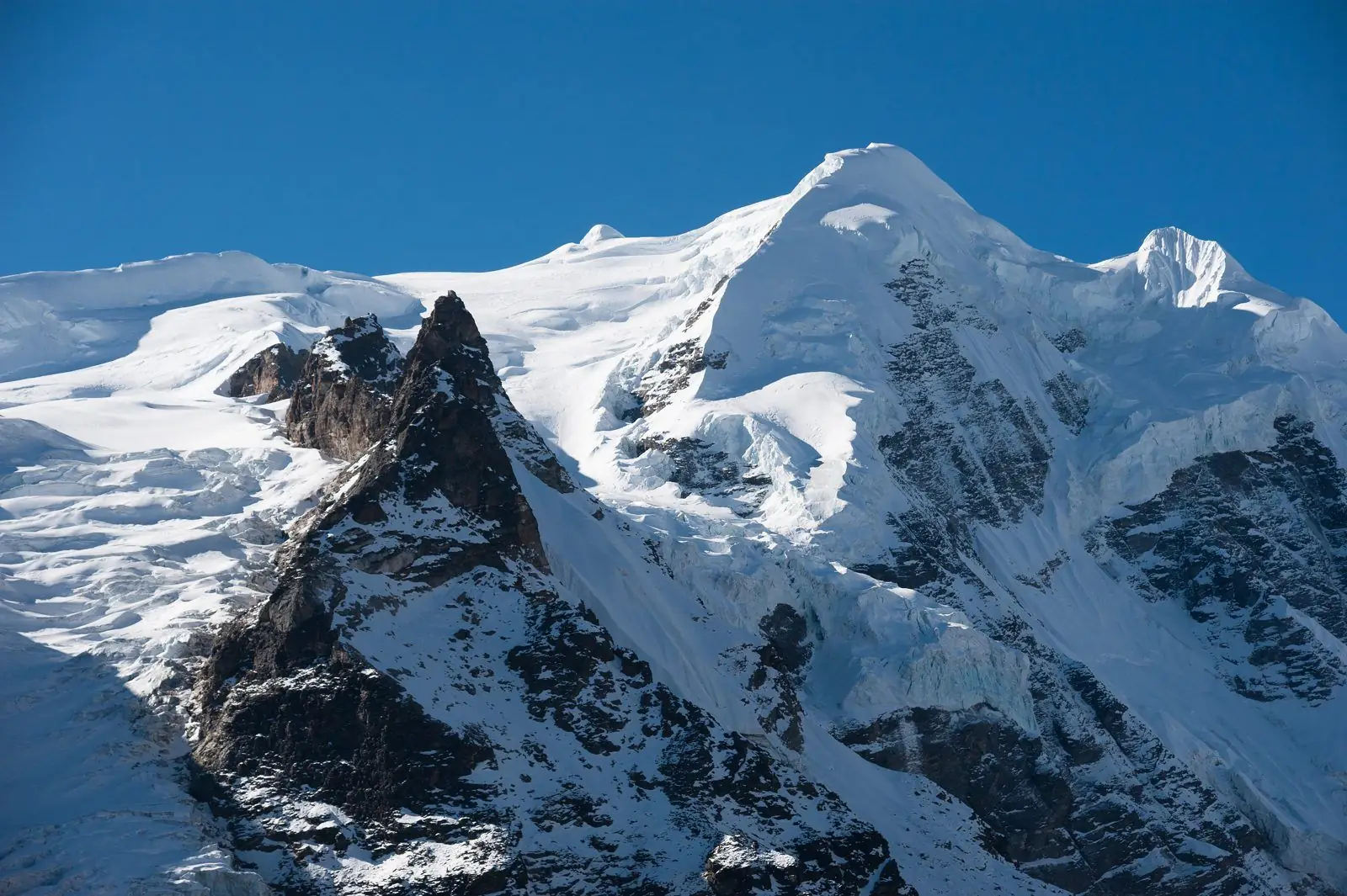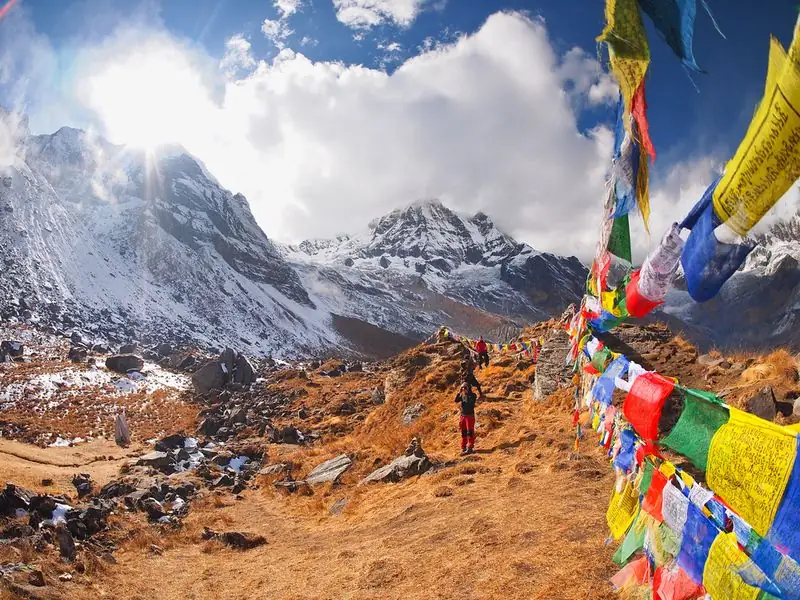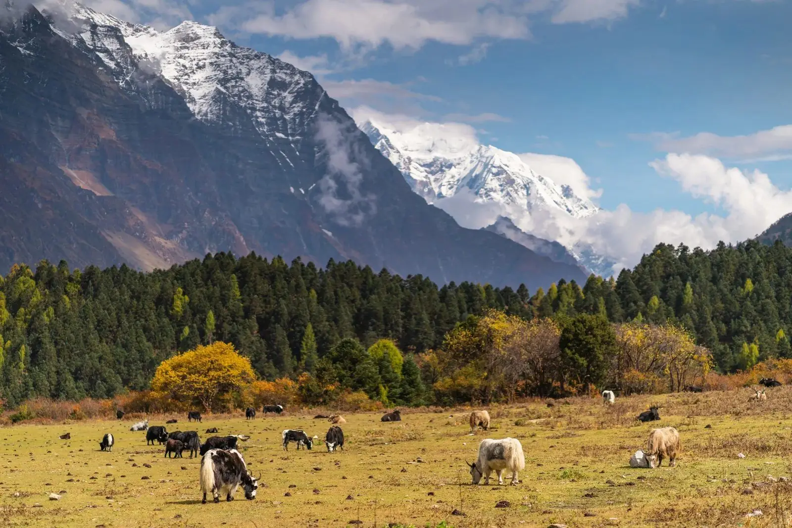
Kang La is the high pass at the heart of the Nar Phu Valley trek, at about 5,320 m. It joins the Nar side of the restricted valley to Ngawal on the Manang side. Most itineraries cross it on day 8, which makes it the highest and hardest day of the whole route.
Altitude: about 5,320 m. Heights quoted for villages and camps vary by source, so treat this as a guide.
Where Kang La is and why trekkers cross it
Kang La sits between the remote Nar-Phu valleys and the Annapurna Circuit corridor. Crossing it turns the trek into a true loop: you walk in along the gorge, spend time among the Tibetan-style villages, then climb out over the pass and drop to Ngawal, with Manang a short way beyond.
The alternative is to return the way you came, which avoids the pass and suits walkers who want the culture and gorge but not the altitude. Our itineraries treat the pass as the reward for patient acclimatisation in the days before it.
What the crossing is like
Expect a very early start from the base camp below the pass, usually in the dark, with a steady climb on loose rock, moraine and sometimes snow. The ascent is long rather than technical, and the wind on the top can be sharp even on a clear morning.
The descent toward Ngawal is steep and tiring on the knees, and the whole day is long. Timing varies with pace, weather and trail conditions, so do not plan anything else for that afternoon. Poles help, and warm layers should stay within reach.
Altitude and how you may feel
At about 5,320 m the air holds roughly half the oxygen found at sea level, so headaches, poor sleep, a dull appetite and breathlessness are common on the approach. The night before the pass is spent high, around 4,500 to 4,900 m depending on where the base camp is set.
Altitude illness can strike even fit trekkers. If symptoms worsen, such as a severe headache, vomiting, confusion or unsteady walking, the right answer is to descend, not to push on. This is why a spare day before the pass is so useful.
Lodging, food and practical tips
There is no lodging on the pass itself. You sleep before it, in Nar or at the base camp, and reach the next beds in Ngawal after the descent. Food on the day is whatever you carry, so pack a packed lunch, snacks, and water or a flask of hot drink.
Nar-Phu is a restricted area, so a restricted-area permit and a licensed guide arranged through a registered agency are required. The pass can close after heavy snow, so a contingency plan and a buffer day are sensible, and an early morning weather check by your guide guides the final call.
Common questions
How high is Kang La?
Kang La is about 5,320 m. The base camp where most groups sleep before the crossing lies lower, roughly 4,500 to 4,900 m, and the descent ends at Ngawal at about 3,660 m, so the day involves both a big climb and a long drop.
Do I need a guide to cross Kang La?
Yes. The Nar and Phu valleys are a restricted area, so you need a restricted-area permit and a licensed guide arranged through a registered agency. A guide also judges snow and wind on the pass and decides whether to cross.
What if Kang La is closed by snow?
Heavy snow can shut the pass for a day or more. A spare day at Nar or the base camp often solves it. If it stays closed, the fallback is to walk back down the valley instead of crossing.