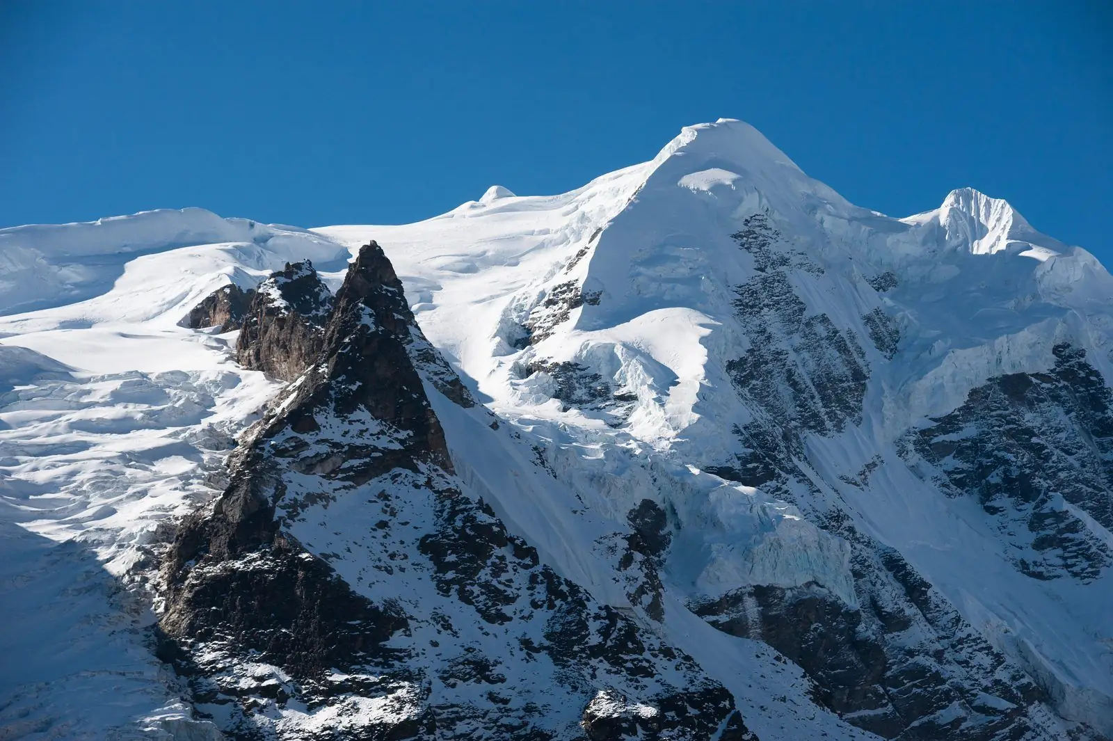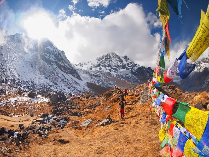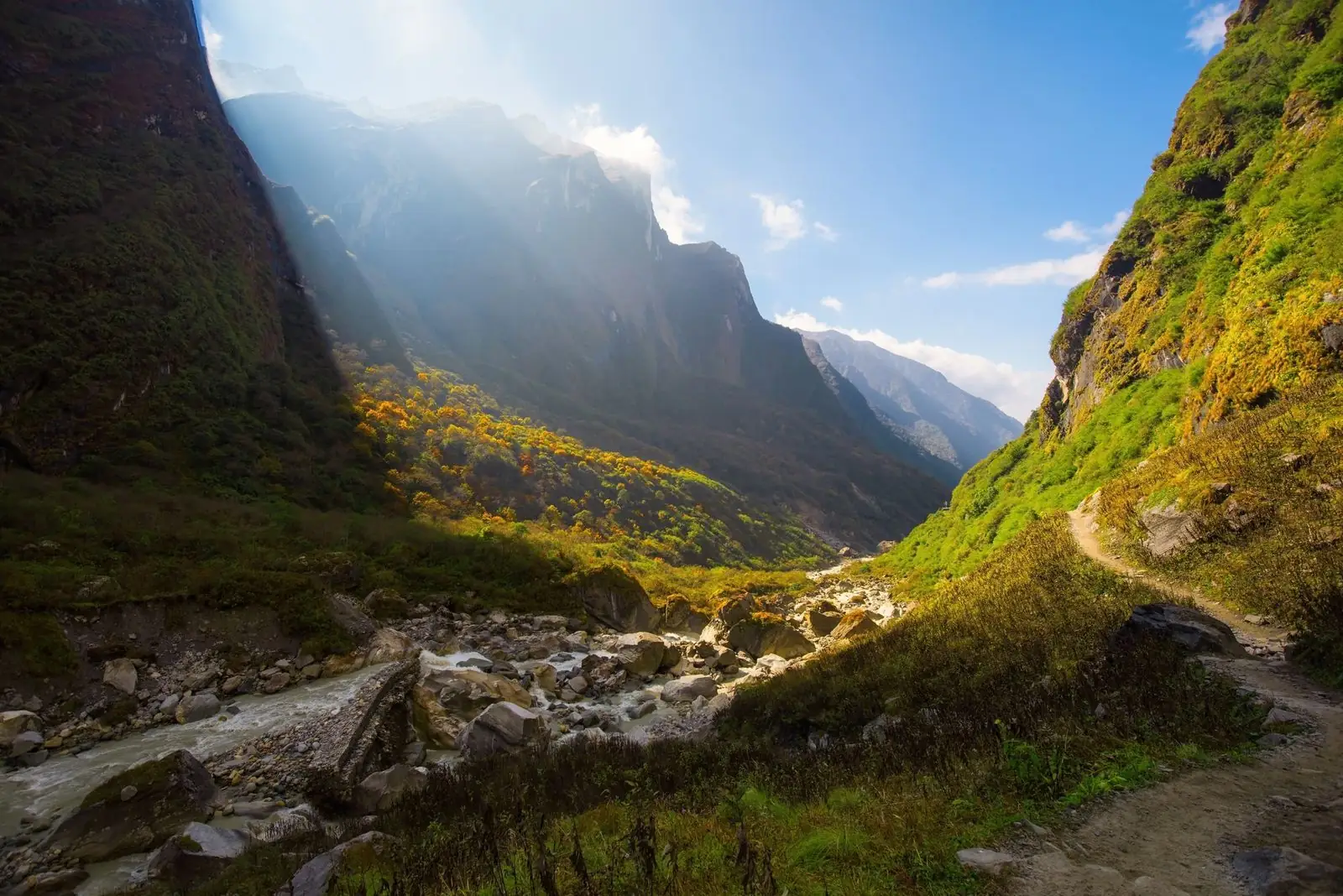
Tadapani is a ridge village at about 2,630 m in the Annapurna Base Camp and Poon Hill region. It sits in rhododendron forest with views of Machhapuchhre and Annapurna South, and it joins the trails between Ghorepani, Deurali, Ghandruk and Jhinu Danda. Many trekkers use it to link Poon Hill with a descent towards Pokhara.
Altitude: about 2,630 m. Heights quoted for villages and camps vary by source, so treat this as a guide.
Where Tadapani is and why trekkers stop
Tadapani lies on a forested ridge above Ghandruk and works as a hinge in the Annapurna foothills. From here trails run towards Ghorepani and Poon Hill, towards Deurali and Ulleri, and down through Ghandruk, with onward options to Jhinu Danda and Pokhara. Our guides describe the climb from Ghandruk as a steep forest trail of roughly four to five hours, though the time varies with pace and trail conditions. Trekkers stop for a night to break the longer link between the two main valleys.
What to expect at Tadapani
Expect a ridge village of lodges set among rhododendron trees, with views of Machhapuchhre and Annapurna South on clear mornings. The village is quieter than the larger stops nearby, and evenings can be calm and cool. Trails in and out are mostly forest paths with steps and roots, so footing deserves attention after rain. Spring brings rhododendron flowers, while clouds may close in during the afternoon. Snow is uncommon at the village itself, though it may lie on the higher trail on the way up from Ghandruk.
Altitude and how you may feel
At about 2,630 m, Tadapani is well above Ghandruk and a little lower than Ghorepani, so your sleeping altitude rises if you arrive from the south and falls if you come down from Ghorepani. Most walkers feel it only as tired legs. Altitude illness can still strike, so note any headache, nausea or poor sleep, drink water regularly and tell your guide. If symptoms worsen, the answer is to descend. Descending towards Ghandruk the next morning is usually easy.
Lodging, food and practical tips
Lodges here offer simple rooms and a shared dining area with a menu of rice, noodles and soups. Book ahead in busy spring and autumn weeks if your plan is fixed, and carry small cash notes. A guide is not required for the busy route to Ghandruk, but our guidance is that one helps if you continue to Tadapani or higher, where the forest trails branch. Bring a warm layer for the evening, a waterproof jacket and boots with good grip for roots and wet steps.
Stage guides that pass through Tadapani
These day-by-day guides start or end at Tadapani, with walking times, ascent and where to sleep.
- Tadapani to Pokhara trek: stages, altitude and time
- Tadapani to Jhinu Danda trek: stages, altitude and time
- Poon Hill to Tadapani trek: stages, altitude and time
- Deurali to Tadapani trek: altitude, time and route
- Ghorepani to Tadapani trek: stages, altitude and time
- Ulleri to Tadapani trek: stages, altitude and time
- Tadapani to Ghandruk trek: altitude, time and route
Common questions
How high is Tadapani?
Tadapani is at about 2,630 m. That is higher than Ghandruk and a little lower than Ghorepani, so it is a comfortable overnight stop for most trekkers on the Poon Hill circuit.
What can I see from Tadapani?
On clear days you can see Machhapuchhre and Annapurna South from the ridge, framed by rhododendron forest. Morning is usually the clearest time, and cloud often builds later in the day.
Is Tadapani on the way to Ghorepani?
Yes. Trails connect Tadapani to Ghorepani, Deurali and Ghandruk. People often reach Ghorepani from Tadapani in a further day, though the time varies with pace and trail conditions.