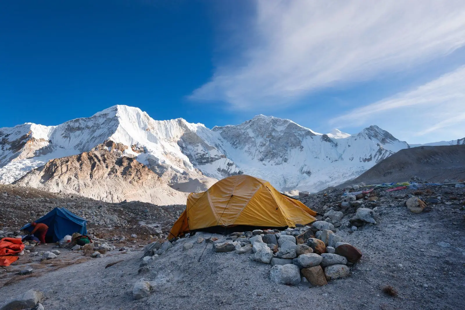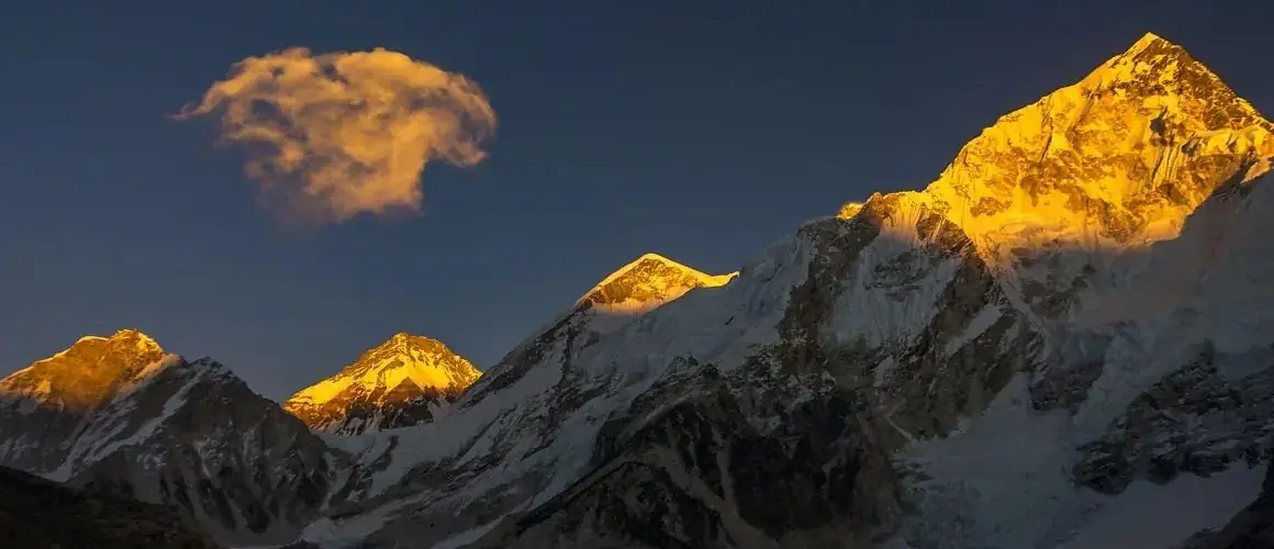
The Himalayas were formed by the collision of the Indian tectonic plate with the Eurasian plate, which began about 50 million years ago. The collision crumpled and stacked the crust, and because India is still pushing north the range is still rising by a few millimetres a year.
The short story
More than 100 million years ago India was a separate landmass in the southern hemisphere. It drifted north across an ocean called the Tethys, at up to about 15 cm a year, which is fast for a continent. Around 50 million years ago it met the southern edge of Asia. Neither block of continental crust would sink beneath the other, so the crust between them was squeezed, folded and stacked into mountains.
What type of mountains are the Himalayas?
They are fold mountains, built by two continental plates pushing together. This is different from volcanic mountains such as Kilimanjaro or Fuji. There are no active volcanoes in the Himalaya. The rocks have been bent into great folds and pushed over each other along long, gently sloping faults called thrusts.
Why there are sea fossils on Everest
The summit of Everest is made of limestone that formed on the floor of the Tethys sea, and it contains the remains of small marine creatures. Climbers know its lower edge as the Yellow Band. In the Kali Gandaki valley of Nepal, near Muktinath and Kagbeni, black stones called shaligrams contain coiled ammonite fossils and are sacred to Hindus as symbols of Vishnu.
These rocks were laid down under water and then lifted more than eight kilometres. See how Mount Everest formed and what it is made of.
How old are the Himalayas?
In geological terms they are young. The collision began about 50 million years ago and the main uplift of the high range took place over the last 20 to 25 million years. By comparison the Aravalli hills of India are well over a billion years old and the Appalachians of North America several hundred million. Youth is the reason the Himalaya is so high and sharp: there has not been enough time for erosion to wear it down.
Are the Himalayas still growing?
Yes. India continues to move north-east at roughly 4 to 5 cm a year, and part of that movement is taken up by the range. Measurements suggest the high Himalaya rises by a few millimetres a year, perhaps up to about 10 mm in places. Erosion by rivers, glaciers and landslides removes rock at a similar rate, so the net change in height is small.
The 2020 survey that gave Everest its current height of 8,848.86 m was partly prompted by the question of whether the 2015 earthquake had changed it.
Earthquakes
The same forces cause earthquakes. Stress builds up where the Indian plate slides under the range and is released from time to time. The Gorkha earthquake of 25 April 2015 in Nepal, of about magnitude 7.8, was one such release. It is why good lodges and new buildings on trekking routes are built with more care than in the past, and why an operator should always have an emergency plan.
Rivers older than the mountains
Several rivers, including the Kali Gandaki, the Arun and the Sutlej, cut straight through the high range instead of flowing round it. The usual explanation is that the rivers were there first and kept cutting down as the mountains rose around them. The result is the Kali Gandaki gorge between Dhaulagiri (8,167 m) and Annapurna I (8,091 m), often described as one of the deepest valleys in the world, and a natural road for trade and for trekkers on the Annapurna Circuit.
What you can see on a trek
You do not need a geology degree. Look for the tilted bands in the walls of Nuptse and Lhotse, the pale granite of Makalu and Ama Dablam, the folded cliffs above Jomsom, river terraces in the Marsyangdi valley and moraine ridges at the snout of the Khumbu and Langtang glaciers. On the Annapurna Circuit the walk from green rice fields to the dry Tibetan-style country beyond Manang is a walk across the whole structure of the range.
The main rock zones, south to north
Geologists describe the range as a stack of slices, each pushed over the one to its south. The Siwalik hills are made of sand and gravel washed off the rising mountains. The Lesser Himalaya is older, lightly altered rock. The Great Himalaya is a thick slab of hard crystalline rock, gneiss and granite, that was heated deep underground and then squeezed upward. On top of it, forming the very highest summits including Everest and the dry country of Mustang and Dolpo, lie the sea-floor sediments of the Tethys.
Glaciers and the shape of the valleys
Ice finished what collision began. During the ice ages glaciers filled the high valleys and carved them into broad U-shapes, left ridges of rubble called moraines and scooped out hollows that now hold lakes such as Gokyo, Tilicho and Gosaikunda. Below the reach of the old ice, rivers have cut narrow V-shaped gorges. A trek such as Langtang or Annapurna Base Camp walks from one landscape into the other in a single day.
Common questions
How were the Himalayas formed, in simple words?
India, moving north, crashed into Asia. The land between was pushed up and folded, and it became the Himalayas.
Which plates formed the Himalayas?
The Indian plate and the Eurasian plate.
Are the Himalayas volcanic?
No. They are fold mountains made by continental collision, and there are no active volcanoes in the range.
Is Mount Everest getting taller?
Slightly. The crust rises by a few millimetres a year while erosion takes some of that away, so the change is very small over a human lifetime.
Heights, dates, fees and rules are approximate and can change, so confirm the current details with us before you book.