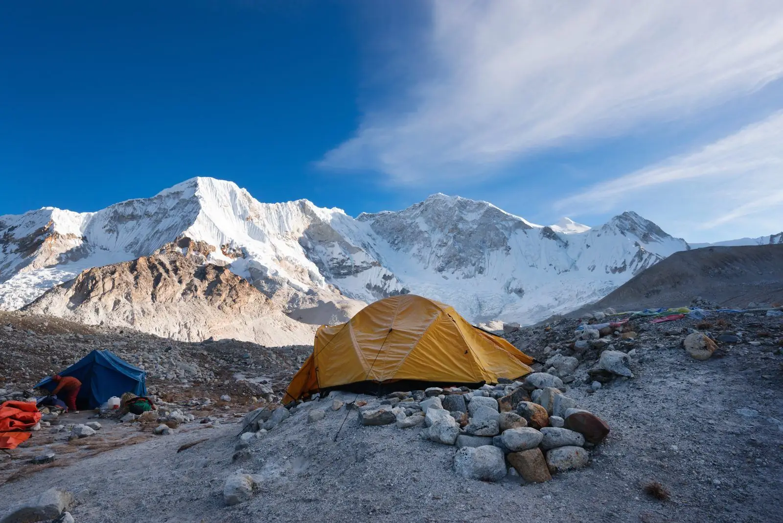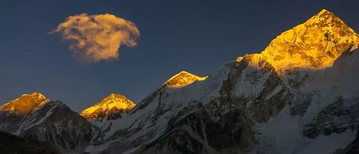
The Himalayas are in Asia, between the plains of northern India and the Tibetan Plateau. The range passes through five countries: Pakistan, India, Nepal, Bhutan and China (Tibet), from about 74 to 95 degrees east.
Where the range starts and ends
The western anchor is Nanga Parbat (8,126 m) in Pakistan-administered Gilgit-Baltistan, where the Indus river cuts round the end of the range. The eastern anchor is Namcha Barwa (7,782 m) in south-east Tibet, where the Yarlung Tsangpo makes a sharp turn south and becomes the Brahmaputra.
Between those two points the range bends in a gentle curve, with its bulge facing south. Nepal lies along the middle third of that curve.
The Himalayas country by country
- India: the range runs through Ladakh, Jammu and Kashmir, Himachal Pradesh and Uttarakhand in the west, and Sikkim, the Darjeeling hills and Arunachal Pradesh in the east. India's highest peak is Kanchenjunga (8,586 m) on the Sikkim and Nepal border, and the highest peak fully inside India is Nanda Devi (7,816 m).
- Nepal: about 800 km of the range, including Everest, Lhotse, Makalu, Cho Oyu, Dhaulagiri, Manaslu and Annapurna.
- Bhutan: the eastern Himalaya, with Gangkhar Puensum (7,570 m) as the highest point.
- China (Tibet): the northern slopes of the whole range, the north face of Everest, and Shishapangma (8,027 m), the only 8,000 m peak wholly inside Tibet.
- Pakistan: the far western end around Nanga Parbat.
Is Mount Everest in the Himalayas?
Yes. Everest is in the Mahalangur section of the Great Himalaya, on the border between Nepal's Solukhumbu district and Tibet. The south side, which trekkers visit, is in Nepal's Sagarmatha National Park. Read where Mount Everest is for the detail.
Western, central and eastern Himalaya
Geographers often split the range into three. The western Himalaya covers Kashmir, Ladakh, Himachal Pradesh and Uttarakhand, with drier valleys and peaks such as Nun Kun, Kinnaur Kailash, Nanda Devi and Kamet. The central Himalaya is Nepal, where the range is highest. The eastern Himalaya covers Sikkim, Bhutan and Arunachal Pradesh, which get more monsoon rain and have denser forest.
The further east you go the wetter and greener the south side becomes; the further west, the colder the winters and the longer the dry season.
The Himalayas inside Nepal
In Nepal the high range is usually described as a chain of himals, each a group of peaks. From east to west the best known are the Kanchenjunga Himal, the Mahalangur Himal (Everest, Lhotse, Makalu, Cho Oyu), Rolwaling, Jugal, Langtang, Ganesh, the Mansiri Himal (Manaslu), the Annapurna Himal and the Dhaulagiri Himal, with Kanjiroba, Saipal and Api in the far west.
The Himalayan ranges of Nepal explains each of these and the treks that go there.
Which cities are near the Himalayas?
The usual gateways are Kathmandu and Pokhara in Nepal, Leh, Manali, Shimla, Dehradun, Rishikesh, Darjeeling and Gangtok in India, Paro and Thimphu in Bhutan and Lhasa in Tibet. From Kathmandu the snow line is about 60 to 80 km away in a straight line, and on a clear winter morning peaks of the Langtang and Ganesh ranges can be seen from the rim of the valley.
From Pokhara the mountains are closer still: Machapuchare and the Annapurna range stand about 25 to 30 km north of the lake.
What lies north and south of the range
To the south are the Ganges and Indus plains, some of the most densely settled land on Earth, only 100 to 300 m above sea level. To the north is the Tibetan Plateau, with an average height of more than 4,500 m. The Himalaya is the step between the two, which is why the southern side rises so sharply: in central Nepal you can go from 800 m at Pokhara to 8,091 m on Annapurna I in about 35 km.
How to reach the Himalayas from India
For Nepal the simplest route is a flight to Kathmandu from Delhi, Mumbai, Bengaluru or Kolkata. Indian citizens do not need a visa for Nepal and can enter with a passport or voter ID. Overland, the main border crossings are Sunauli near Gorakhpur, Raxaul and Birgunj, and Kakarbhitta near Siliguri. See Nepal trek planning for arrival, money and permits.
How far are the Himalayas from the big Indian cities?
Distances are shorter than many people expect. From Delhi the first snow peaks of Uttarakhand are about 300 km away, a night by train and road. Kathmandu is about 800 km from Delhi and a flight of roughly 1 hour 45 minutes. From Kolkata, Darjeeling and the view of Kanchenjunga are an overnight train and a hill drive away, and Siliguri is the usual gateway to Sikkim, Bhutan and eastern Nepal. From Mumbai and Bengaluru the practical route is a direct or one-stop flight to Kathmandu.
Reading a map of the range
On a map the Himalaya is easiest to follow by its rivers. Find the Indus in the west and the Brahmaputra in the east: both rise close together near Mount Kailash in Tibet and flow in opposite directions round the two ends of the range. Between them the Ganges and its tributaries, the Yamuna, Kali, Karnali, Gandaki and Kosi, drain the southern slopes. Every one of the famous trekking valleys of Nepal is the upper course of one of these tributaries.
Common questions
In which continent are the Himalayas?
Asia. The range lies between South Asia and the Tibetan Plateau of Central Asia.
How many countries do the Himalayas cross?
Five in the usual definition: India, Nepal, Bhutan, China (Tibet) and Pakistan. Some wider definitions that include the Hindu Kush add Afghanistan, and the hills at the eastern end reach into Myanmar.
Which Indian states are in the Himalayas?
Mainly Ladakh, Jammu and Kashmir, Himachal Pradesh, Uttarakhand, Sikkim and Arunachal Pradesh, plus the Darjeeling hills of West Bengal.
Are the Himalayas in Nepal or India?
Both. The range runs through both countries. Nepal has the highest section, and India has the longest.
Heights, dates, fees and rules are approximate and can change, so confirm the current details with us before you book.