Jomsom is the district headquarters of Mustang, on the banks of the Kali Gandaki river, at about 2,720 m. It has an airport, banks, shops and a wide gravel river bed. For Annapurna Circuit trekkers it is both an arrival point and a place to end the walk.
Altitude: about 2,720 m. Heights quoted for villages and camps vary by source, so treat this as a guide.
Where Jomsom is and why trekkers stop
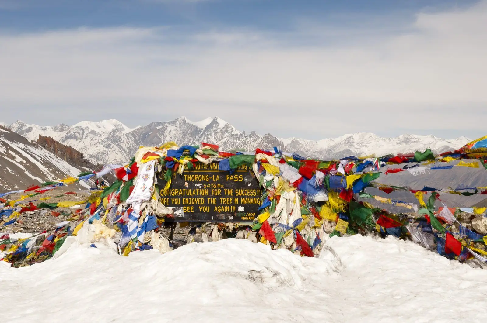
Jomsom lies in the Kali Gandaki valley, between Marpha to the south and Kagbeni and Muktinath to the north. Many visitors fly in from Pokhara and begin a short walk, such as the classic trip to Muktinath. Others finish here after crossing Thorong La and take a flight out. Our pages link it to Ghorepani, Tukuche, Tatopani, Marpha and Muktinath, which shows how many routes meet in town. A road also connects it to Beni and Pokhara.
What to expect at Jomsom
Expect a long, busy street of lodges, shops, offices and restaurants, with a wide gravel river bed beside it and dry hills above. This is the most developed place on this stretch, so you can find supplies, change money, and buy gear or snacks. Afternoon wind is a feature of the valley, strong and dusty, and flights are usually scheduled for the morning for that reason. The town has a practical, working feel rather than the charm of a small village.
Altitude and how you may feel
At about 2,720 m, Jomsom is much lower than the high camps and the pass, so most people feel fine here. Still, trekkers who fly in from Pokhara gain a lot of height in one short flight, and some feel headaches or poor sleep that first night. Take it easy, drink water and avoid heavy alcohol. If you plan to walk up to Muktinath, give yourself time. Altitude illness can strike on any gain, and if symptoms get worse, descend and speak to your guide.
Lodging, food and practical tips
There is a wide choice of lodging, from simple tea houses to more comfortable hotels, and food is varied. Banks and machines exist, but cash can run short or machines can be out of service, so bring enough rupees. Flights depend on weather and can be delayed or cancelled, so keep spare days in your plan. Mornings are usually clearest. If you are leaving by road, ask locally about current road conditions, which can vary with season and weather.
Stage guides that pass through Jomsom
These day-by-day guides start or end at Jomsom, with walking times, ascent and where to sleep.
- Jomsom to Ghorepani trek: stages, altitude and time
- Jomsom to Tukuche trek: stages, altitude and time
- Jomsom to Tatopani trek: stages, altitude and time
- Muktinath to Jomsom trek: altitude, time and route
- Yak Kharka to Jomsom trek: stages, altitude and time
- Thorong Phedi to Jomsom trek: stages, altitude and time
- Jomsom to Muktinath trek: altitude, time and route
- Jomsom to Marpha trek: altitude, time and route
Common questions
Is there an airport at Jomsom?
Yes, Jomsom has an airport with flights from Pokhara. Flights usually run in the morning because wind builds in the afternoon, and weather can delay or cancel them, so keep spare days.
Can I get cash in Jomsom?
There are banks and shops, but machines can be unreliable. Bring enough cash from Pokhara or Kathmandu before heading up the valley, since smaller villages along the trail will not offer exchange.
What can I walk to from Jomsom?
Popular walks include Kagbeni, Jharkot and Muktinath to the north, and Marpha to the south. Longer trails lead on to Tukuche, Tatopani and Ghorepani, so your plan depends on the time you have.