


 By
Kyanjin Ri, at about 4,773 m, is the highest point most trekkers reach on the Langtang trek. It is a steep hill above Kyanjin Gumba (about 3,830 m) and takes roughly 2 to 4 hours to climb, depending on your pace and the trail. From the top you see Langtang Lirung (7,227 m) and its glacier, the peaks across the upper valley and the wide, empty head of the valley. Start early, because clouds usually build in the afternoon. This guide explains the route, the false summit that turns many people back, what you can see, the safety points and how to plan the day.
Kyanjin Ri at a glance
- Height: about 4,773 m, an ascent of nearly 1,000 m from Kyanjin Gumba.
- Time: about 2 to 4 hours up, and 1.5 to 3 hours down.
- Start: 5:30 to 6:30 am, when the ground is frozen and the sky is clear.
- Difficulty: steep but not technical. Altitude is the main challenge.
- Best months: March to May and late September to November.
Last checked: 28 October 2026. Heights are rounded and vary by source. Trail conditions and snow change by season, so ask your guide before you set out.
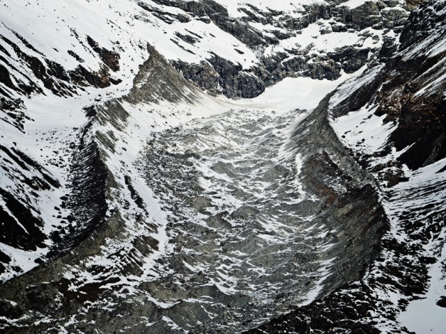
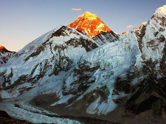
The Lirung Tsang glacier in the upper Langtang valley.
In this guide: The route | The false summit | The views | Coming down | Planning and safety | FAQ
What is the route up Kyanjin Ri?
The trail starts behind Kyanjin Gumba and climbs the hillside north-east of the village in a series of switchbacks. The ascent is close to 1,000 m, which sounds modest but is steep, and you are already above 3,800 m when you start. Many trekkers make this climb on the rest day at Kyanjin Gumba, because it is the standard acclimatisation hike. That makes it a good fit with the “climb high, sleep low” approach: you go up to about 4,800 m, then return to sleep at 3,830 m.
When to start: as early as you can. A start at 5:30 or 6:00 am is ideal. The ground is frozen and firm, the sky is usually clear and the cloud has not built up. Leaving later, around 7:00 am, means the sun softens the frozen earth on the steep trail, which makes it slippery, and cloud often covers the summit by midday.
| Stage | What you pass | Rough time |
|---|---|---|
| Kyanjin Gumba to the first ridge | Switchbacks above the village | About 1 to 1.5 hours |
| The prayer-flag point | The small peak with flags, which looks like the top but is not | About 1.5 to 2.5 hours from the village |
| The true summit | A further climb to the real high point | About 2 to 4 hours from the village |
| Return | Down the same trail or the canyon on the north side | About 1.5 to 3 hours |
These are planning times only. Altitude slows everyone, so allow extra if it is your first day above 4,000 m.
Where is the real summit?
When you first see Kyanjin Ri from the trail, a small point topped with prayer flags just behind Kyanjin Gumba looks like the summit. It is not. That point is about two-thirds of the way up, and the real summit is hidden behind it and cannot be seen from the village. Many trekkers turn back at the flags. If you are feeling well, carry on, because the view from the true top is wider and much better. If you are tired, short of breath or have a worsening headache, the flags are still a sensible turning point.
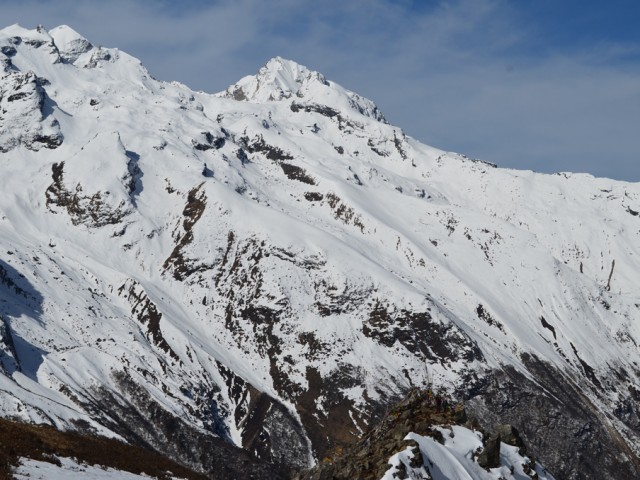
Looking towards the Kimshung glacier from the ridge.
What can you see from Kyanjin Ri?
From the top the whole head of the Langtang valley opens up. The best-known view is to the north-west, where the entire face of Langtang Lirung (7,227 m) rises above the Langtang Lirung glacier. The big lateral moraines of the glacier are clear, but most of the remaining ice is covered by a thick layer of rock debris, because the glacier is retreating. A good way to identify the peaks is to ask your guide to name them while you look.
| Direction | What you see |
|---|---|
| North-west | Langtang Lirung (7,227 m) and its glacier |
| Just right of Langtang Lirung | Changbu (about 6,251 m) and Yubra (about 6,264 m), separated by a steep, icefall-like glacier |
| North-east | Yala Peak (about 5,500 m), partly hidden below the higher Tserko Peak (about 5,749 m). A map helps you pick it out |
| South-west | Tsergo Ri (about 4,984 m) with a visible trail to the top |
| South, across the valley | Naya Kanga (about 5,844 m), and beside it Kangja La and the Kangja La Himal |
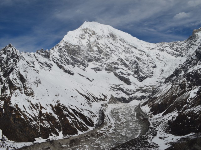
Langtang Lirung (7,227 m) filling the sky above the valley.
If you have an extra day, Tsergo Ri is another fine climb, higher than Kyanjin Ri and with a wider view. See the upper Langtang day hikes guide for the options.
How should you come down?
You can go back the way you came. Some trekkers prefer to descend by the canyon on the north side of the peak. In snow, this can be a fast, fun way down, with sections where you can slide, before you cut back across to Kyanjin Gumba. Only do this with your guide, in good conditions, and not if the snow is icy or the route is unclear. In dry conditions, the main trail is the safer choice.
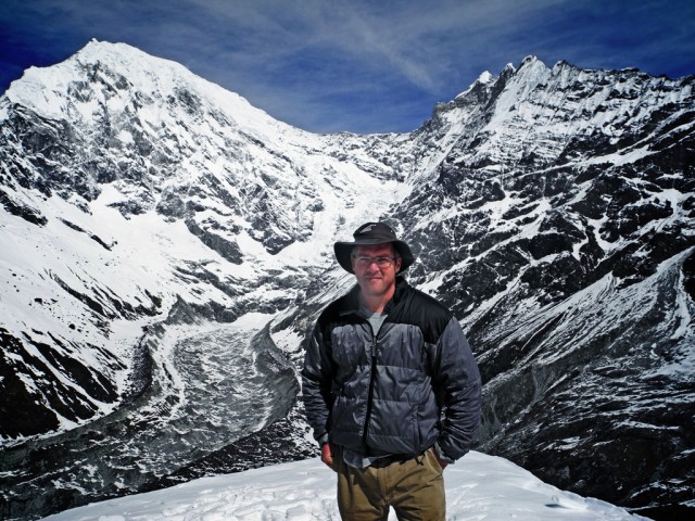
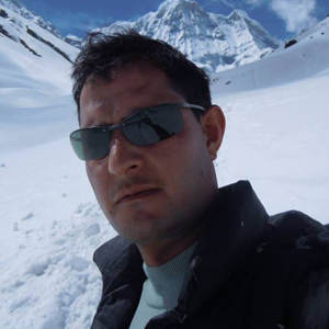
A trekker at the top of Kyanjin Ri.
How should you plan the day, and what should you carry?
- Water: carry at least 1.5 to 2 litres. See the hydration guide.
- Layers: the top is windy and cold even on a sunny day. Bring a warm jacket, hat and gloves. See the packing checklist.
- Sun protection: sunscreen, sunglasses and lip balm. The sun is strong at altitude.
- Snacks: something light for the summit. Kyanjin Gumba is known for yak cheese, which you can try back at the village.
- Altitude: go slowly, rest as needed and descend if symptoms get worse. Read the altitude sickness guide.
- Insurance: check that your policy covers trekking to 4,800 m. See the insurance guide.
Kyanjin Ri is the Langtang equivalent of Kala Patthar on the Everest Base Camp trek: the highest point most trekkers reach, and the best view. The Langtang valley was badly damaged in the 2015 earthquake and has since been rebuilt, and trekking has resumed. For lodges and meals on the way, read the Langtang teahouses guide, and for why Langtang is worth choosing, see 7 reasons to choose the Langtang trek.
FAQ
How high is Kyanjin Ri? About 4,773 m. Kyanjin Gumba, the village below, is at about 3,830 m.
How long does it take to climb Kyanjin Ri? About 2 to 4 hours up, depending on your pace and the trail, and 1.5 to 3 hours down.
Is Kyanjin Ri difficult? It is steep but not technical. The main challenge is altitude, since you start above 3,800 m.
When should I start the climb? At 5:30 to 6:30 am, when the ground is frozen and the sky is clear. Clouds usually build in the afternoon.
Is the prayer-flag point the summit? No. It is about two-thirds of the way up. The real summit is behind it and not visible from the village.
What can I see from Kyanjin Ri? Langtang Lirung (7,227 m) and its glacier, Changbu, Yubra, Yala Peak, Tsergo Ri and Naya Kanga.
Is Kyanjin Ri good for acclimatisation? Yes. It is the standard rest-day hike at Kyanjin Gumba. Climb high, then sleep low.
Do I need a guide for Kyanjin Ri? The trail is clear, but a guide helps with weather, pace, route choice and safety.
Can I go down a different way? Some trekkers use the canyon on the north side in good snow conditions, but only with a guide. The main trail is safer in dry conditions.
What is the best time of year? March to May and late September to November.
Is there a higher viewpoint nearby? Tsergo Ri, at about 4,984 m, is higher and makes a fine extra-day climb.
Is it the highest point on the Langtang trek? It is the highest point most trekkers reach. Tsergo Ri is higher, for those with an extra day.
Plan the Langtang trek with Base Camp Hikes
Start with the 10-day Langtang and Gosaikunda trek. For dates and a quote, message the team on WhatsApp or phone at +91 932 595 1234 (9 am to 7 pm IST), write to info@basecamphikes.com, or use the enquiry form.
Sources
- Nepal Tourism Board: safety in the mountains