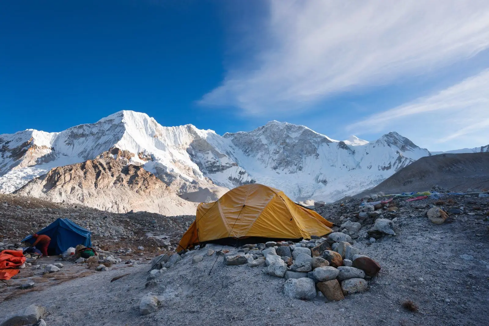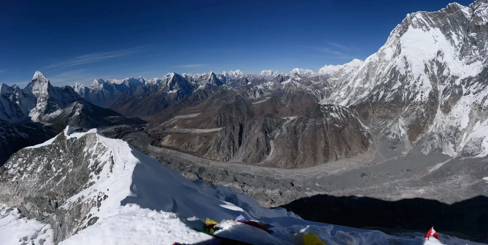
Annapurna II is a 7,937 m mountain, the second tallest in the Annapurna range and the sixteenth highest in the world. It stands north-east of Annapurna I and dominates the skyline of the upper Marsyangdi valley, so Annapurna Circuit trekkers see it for days without always knowing its name.
A giant that hides in plain sight
Most people know Annapurna I, the first 8,000 m peak to be climbed. Annapurna II is less famous, but it is a huge, heavy mountain at 7,937 m (26,040 ft). It rises above the villages of the Manang valley and appears over Upper Pisang, Ngawal and Braga as a long wall of snow.
Where it stands
The mountain lies in the Annapurna Himal, in the Gandaki Province, along the ridge that continues from Annapurna I to Annapurna III and IV. On its south side forests and steep valleys run down towards Lamjung and the foothills. On its north side the high dry country of Manang lies in rain shadow.
The first ascent
A joint team of British, Indian and Nepali climbers made the first ascent on 17 May 1960. The climbers who reached the top included Richard Grant and Chris Bonington, with the Sherpa climber Ang Nyima. It was a long, tough expedition, and it remains one of the landmark climbs in the region.
Why it is rarely attempted
The routes are long, with sustained ridge climbing, avalanche danger and heavy snowfall. The mountain has none of the fame of its 8,000 m neighbour, so teams prefer other objectives. For most people it is a mountain to admire, not to climb.
Seeing it on the Annapurna Circuit
The best views come between Chame and Manang. Upper Pisang, with its high monastery, is a famous viewpoint, and so is the walk to Ngawal. You can also see the peak on the way to Tilicho Lake. Read the Annapurna Circuit guides and the Gangapurna guide to match the peaks to the villages.
Season and light
Autumn gives the clearest views, with cold mornings and good snow visibility. Spring is warmer and greener lower down, but clouds build in the afternoons. Winter can be very cold and snowy on the high sections of the circuit.
Common questions
Is Annapurna II higher than Annapurna III? Yes, by nearly 400 m. Is it part of the Annapurna Base Camp trek? Not directly, since the base camp is on the south side. Can I climb it? Only on a full expedition permit.
From the Marsyangdi valley
The Marsyangdi valley is one of the deepest and most varied valleys in Nepal. You begin in warm farmland with rice terraces and end in a high, dry landscape of stone houses and prayer walls. As you gain height, the big snow peaks of the Annapurna range come into view, and Annapurna II appears as a long white wall on the south side of the trail.
Upper Pisang and the sunrise view
The upper part of Pisang village sits on a hill with a monastery, and many trekkers choose to stay here for the view. At sunrise, the sun hits the summit ridge of the mountain first, and the light moves slowly down the face. It is worth getting up early for this, even if the morning is cold.
Understanding the Annapurna range
The Annapurna massif is not a single mountain but a long chain with many summits, from Annapurna I at 8,091 m to Annapurna IV and Gangapurna. Learning the sequence helps you to understand what you are seeing. Annapurna II is the second highest of the group and the dominant peak on the north-east side.
Climbing in the area
Although Annapurna II is rarely climbed, the surrounding area has many trekking peaks, including Hiunchuli and Pisang Peak, which offer a taste of climbing for those with some experience.
Staying safe on the circuit
The Annapurna Circuit rises to over 5,400 m at the Thorong La, so acclimatisation is essential. Take rest days at Manang, avoid ascending too quickly and descend if symptoms of altitude sickness appear.