 By
The best Annapurna Circuit viewpoints are Upper Pisang, Ghyaru, Ngawal, Gangapurna Lake at Manang, Ice Lake, Tilicho Lake, Thorong La, Muktinath, Kagbeni and Poon Hill. Some sit on the main trail and some need a side trip of half a day to three days. This guide lists all ten in trail order. For each one it gives the altitude, the peaks you see, the nearest overnight village and the best time of day.
Annapurna Circuit viewpoints at a glance
- Best for peak views: Ghyaru and Ngawal, on the upper Manang route (ours).
- Best easy viewpoint: Gangapurna Lake, a short walk from Manang (ours).
- Best high viewpoints: Ice Lake and Tilicho Lake. Tilicho is 4,919 m, according to the Nepal Tourism Board.
- Highest point: Thorong La, 5,416 m by our itineraries. One Nepal Tourism Board page gives 5,380 m.
- Best seasons: March to May and September to November, according to the Nepal Tourism Board.
- Permits: Annapurna Conservation Area entry is NPR 2,000 for foreigners and NPR 200 for SAARC nationals. TIMS and a licensed guide are required on the Circuit.
Last checked: 11 November 2026. Permit rules, seasons, wildlife counts, the Muktinath and Tilicho altitudes and the acclimatisation guidance come from Nepal Tourism Board pages. Viewpoint descriptions, village altitudes for Ghyaru, Ngawal, Gangapurna and Ice Lake, and light and photography advice come from our own guiding, so we mark them “(ours)”. Those altitudes are rounded and vary by source.
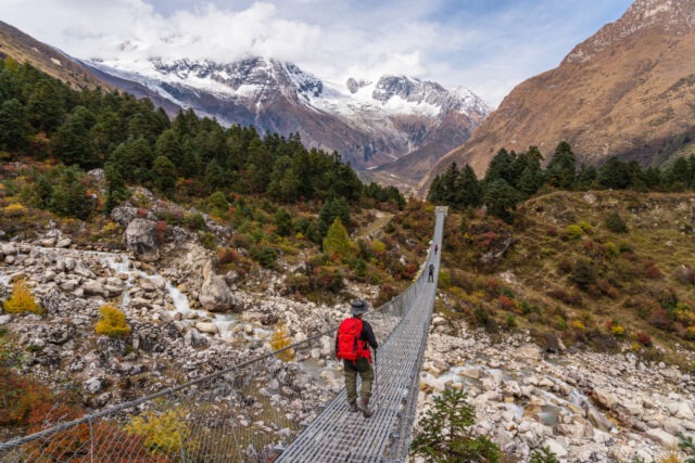
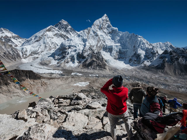
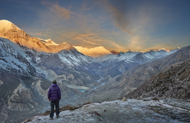
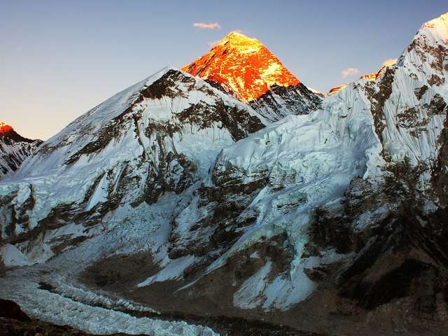
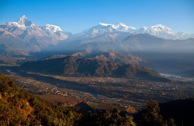
The Annapurna range. Most Circuit viewpoints face this wall of peaks.
In this guide: The 10 viewpoints | Altitude and village table | Sunrise and sunset | Best time | Altitude safety | Photography tips | FAQ
The 10 best viewpoints on the Annapurna Circuit, in trail order
The Nepal Tourism Board notes that the Annapurna chain lies inland, so Manang and Mustang sit in the rain shadow. The landscape there is drier and more open than on the southern slopes. That is why the views on this side are so wide. Altitudes are rounded (ours).
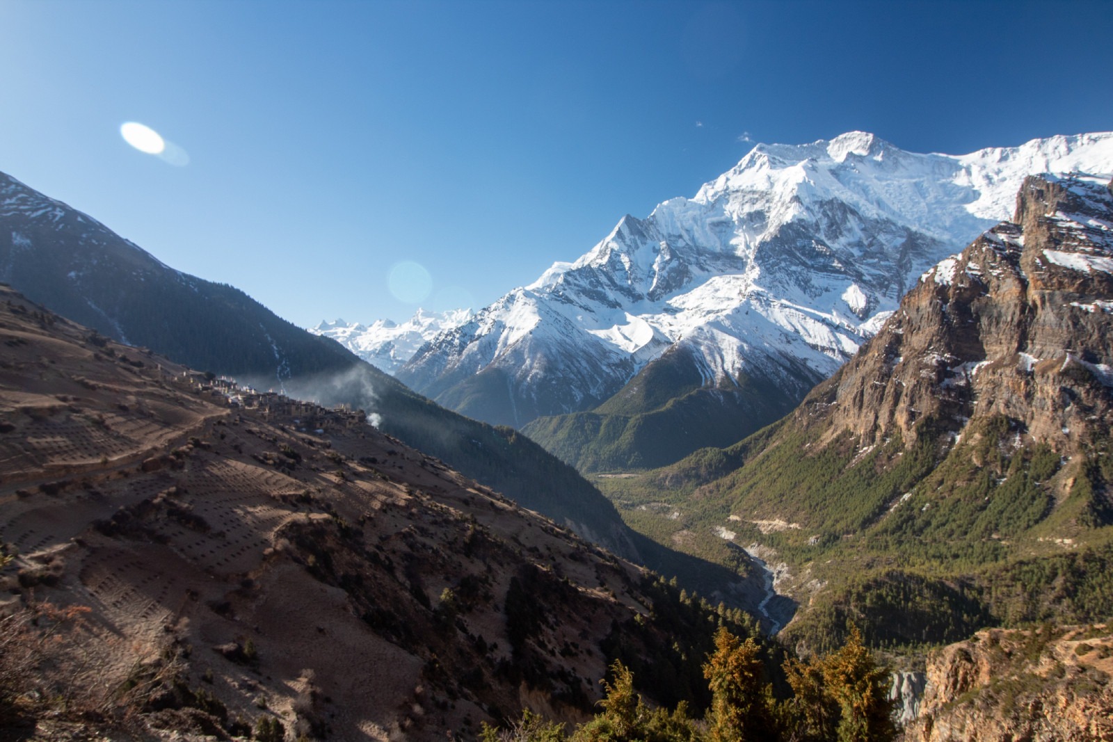
1. Upper Pisang: Annapurna II and Pisang Peak
Upper Pisang is a stone village above the main trail at about 3,300 m (ours). The ridge behind it looks straight across the valley to Annapurna II and Pisang Peak. Climb to the monastery at the top of the village for the widest view. Evening light turns the snow orange (ours). Stay overnight if you can, since most trekkers pass through Lower Pisang.
Upper Pisang village on the Annapurna Circuit Trek with stunning views of the Annapurna mountains in Nepal
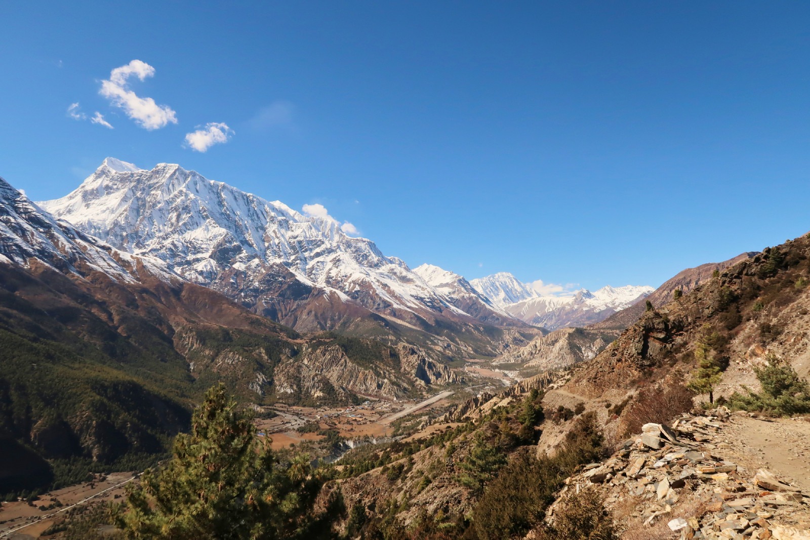
2. Ghyaru: the best peak panorama
Ghyaru sits at about 3,670 m on the upper trail between Pisang and Manang (ours). From its flat roofs you see Annapurna II, Annapurna III, Gangapurna and Pisang Peak in one sweep. Our guides pick this route over the lower road whenever the group is acclimatising well. It adds about a day and has fewer crowds than the lower road. Our Annapurna region options guide explains the add-on.
Traditional Ghyaru village along the Annapurna Circuit Trek with panoramic views of the Annapurna Himalayas
3. Ngawal: quiet fields and a wide valley
Ngawal is about 3,660 m, a short walk from Ghyaru along the same upper trail (ours). The views look down the Marsyangdi valley and across to the Annapurnas. Lodges are simpler than in Manang, so bring cash and expect basic menus.
4. Gangapurna Lake: mountain reflections near Manang
Manang is 3,540 m by our itineraries. A glacial lake sits just below the village, below Gangapurna and its glacier (ours). It takes under an hour to walk there and back, so it works well on a rest day. On a still morning the peak reflects in the water. The Himalayan Rescue Association runs a daily altitude talk at its Manang aid post at 3 pm in spring and autumn, according to the Nepal Tourism Board. It is worth attending.
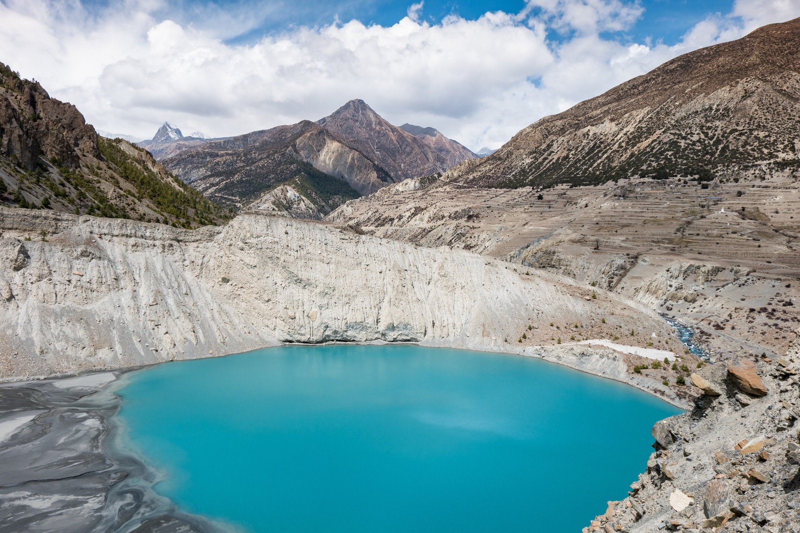
Gangapurna Lake in Manang Village with spectacular views of the Annapurna Himalayan range in Nepal
5. Ice Lake: a high day trip from Manang
Ice Lake is about 4,600 m (ours), reached from Braga on a steep day trip. It is a turquoise lake below Annapurna III and Gangapurna with a long open view. It is a hard day, with a climb of around 1,000 m from Manang (ours). It also makes good acclimatisation if you return to sleep in Manang, because you climb high and sleep low (ours). Start early, since clouds build by midday.
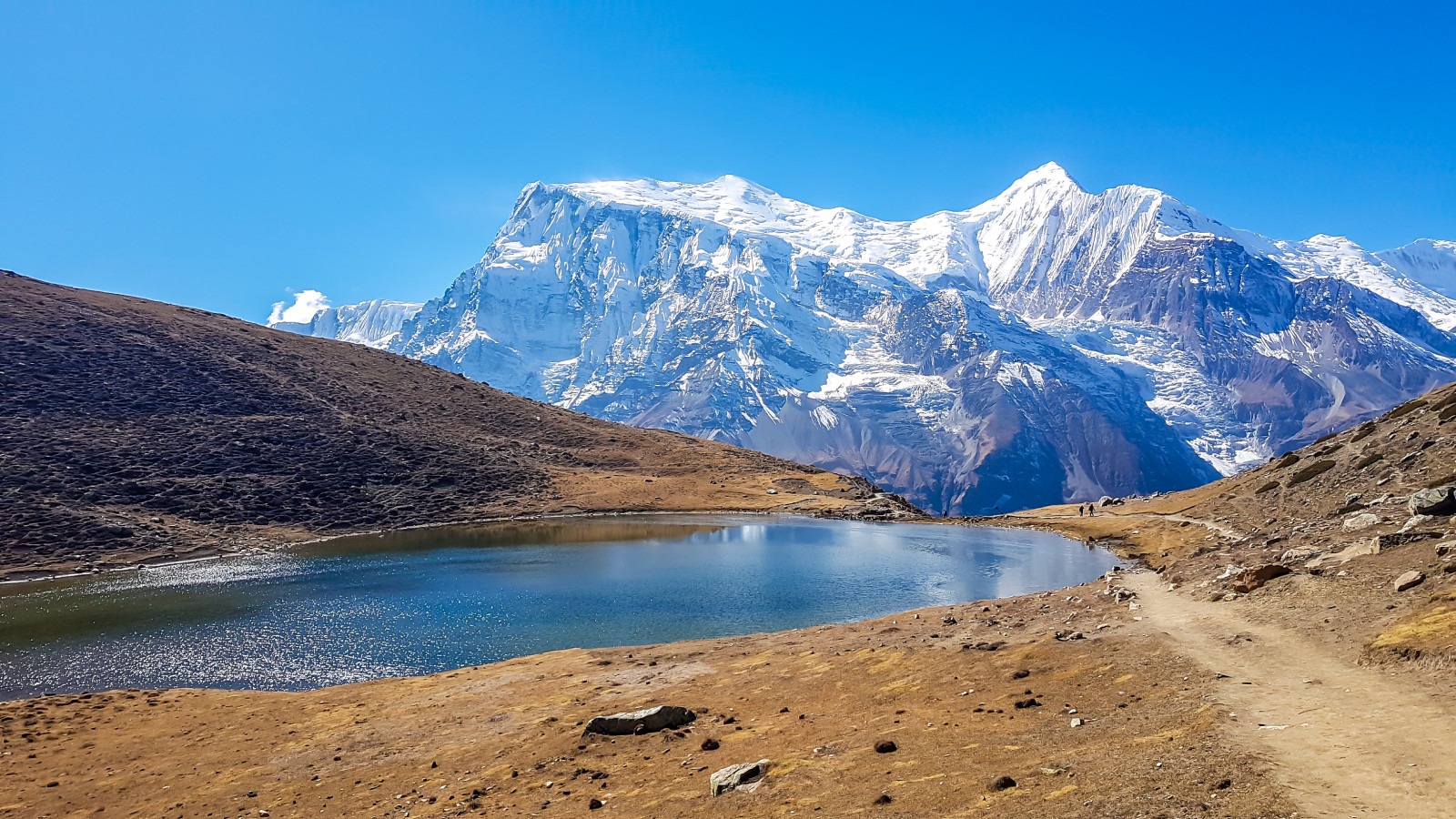
Ice Lake near Manang along the Annapurna Circuit Trek in Nepal, surrounded by snow-capped Himalayan peaks
6. Tilicho Lake: the high side trip
The Nepal Tourism Board gives Tilicho Lake as 4,919 m. It adds 3 to 5 days to the Circuit and is strenuous. The Board lists Tilicho (Mesokanto) among routes that need a licensed guide. Few views on the Circuit match the lake under the Tilicho Peak wall, but this is a side trip for fit trekkers, not a quick detour. Our guide to hidden lakes in Nepal covers it too.
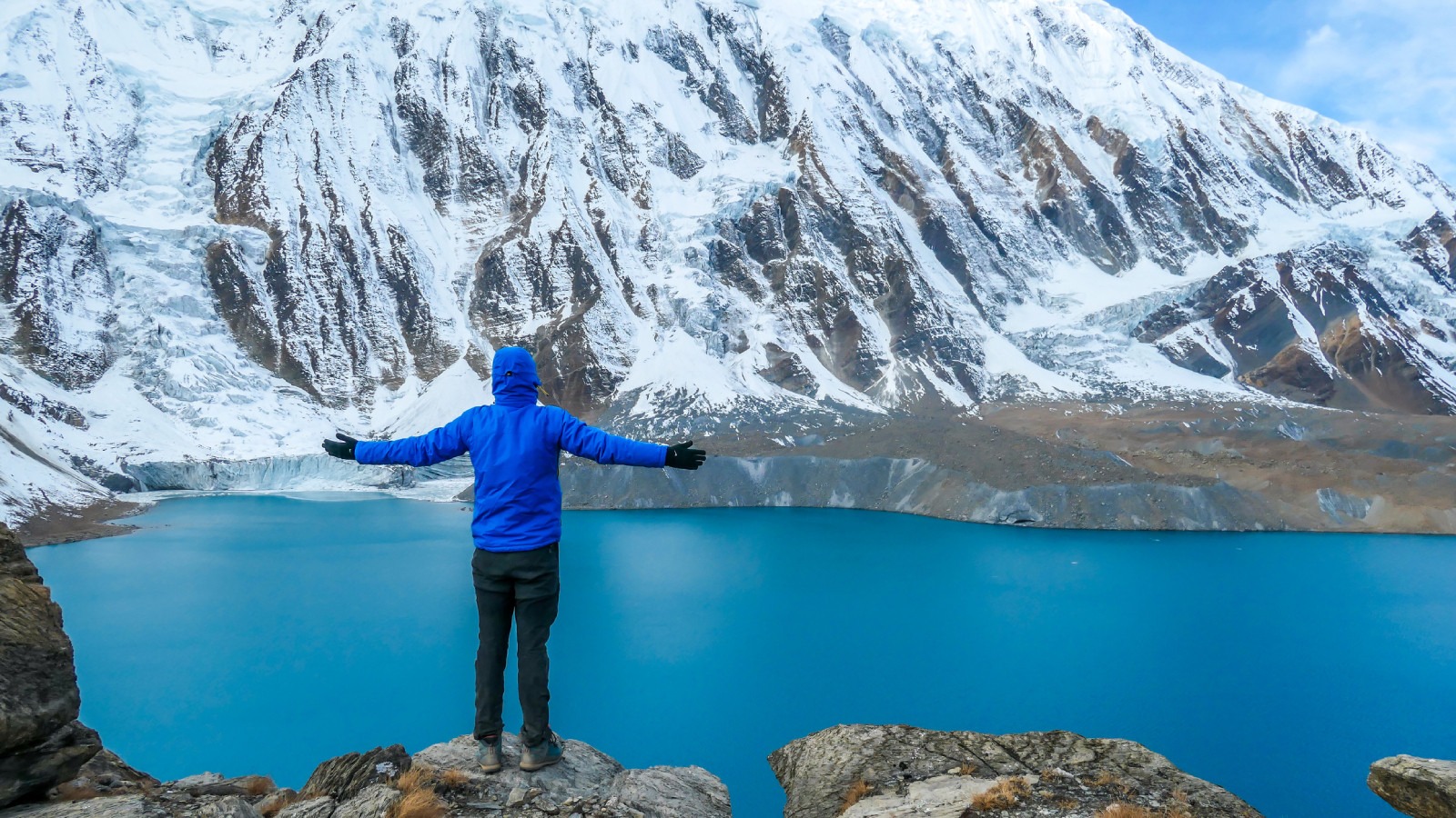
Tilicho Lake, the highest viewpoint side trip on the Annapurna Circuit.
7. Thorong La: the top of the Circuit
Thorong La is 5,416 m by our itineraries, although one Nepal Tourism Board page gives 5,380 m, so treat it as about 5,400 m. The crossing starts around 4 am from Thorong Phedi (4,450 m) and takes 7 to 9 hours to Muktinath. The pass top is a wide saddle of prayer flags with a long view back towards the Annapurnas and ahead into the dry Mustang landscape (ours). Read our Thorong La crossing guide before you go. There are no lodges at the top.
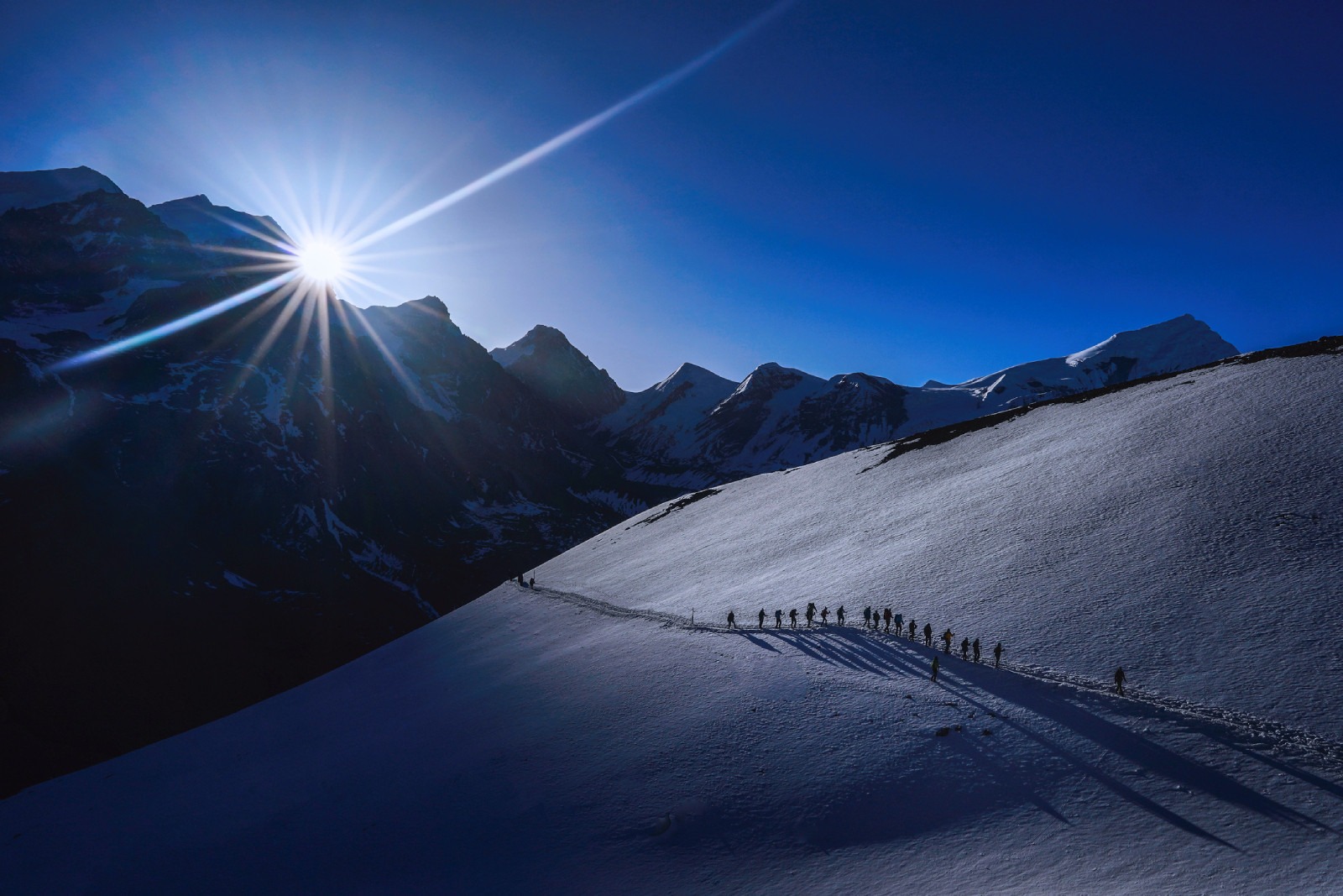
Thorong La Pass at 5,416 metres along the Annapurna Circuit Trek in Nepal
8. Muktinath: temple views below the pass
The Nepal Tourism Board gives Muktinath as 3,800 m, “at the foot of the snow-covered ranges”. It is sacred to Hindus and Buddhists. The temple grounds open onto a dry valley and the peaks beyond (ours). Our Muktinath trek guide covers the temple and the route.
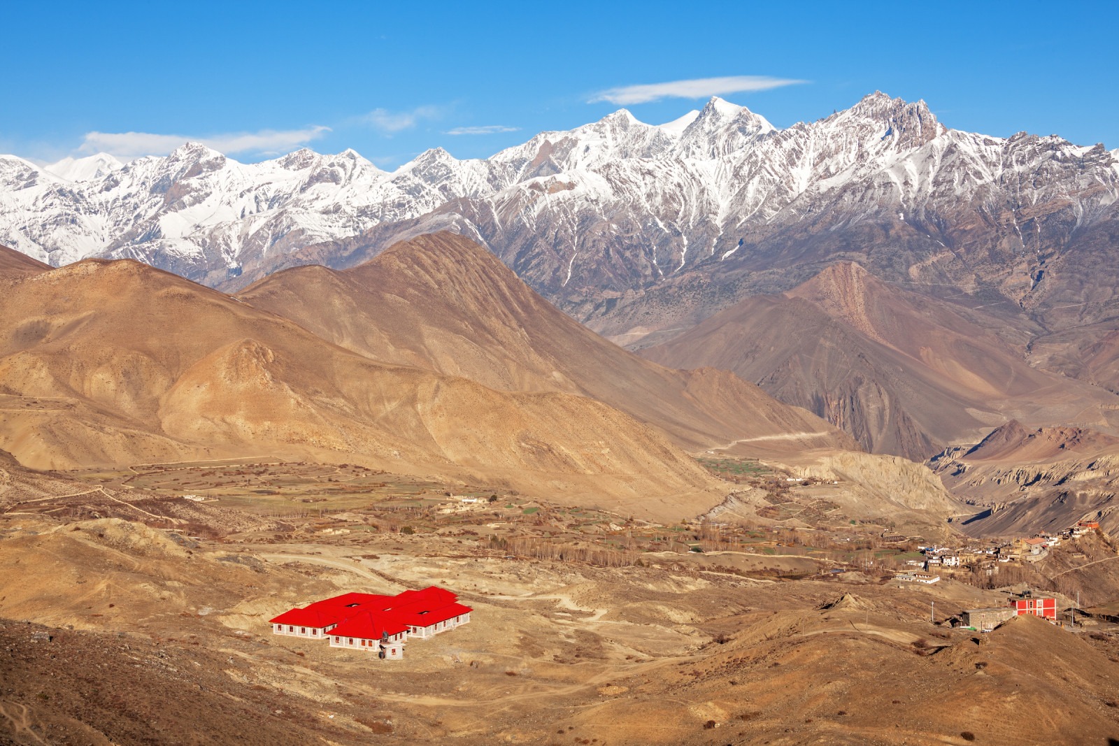
Sacred Muktinath Temple in Nepal, an important pilgrimage site for Hindus and Buddhists
9. Kagbeni: the Kali Gandaki gateway
Kagbeni is about 2,800 m, a walled village where the Kali Gandaki river valley opens north into the Mustang landscape (ours). The Nepal Tourism Board says the Kali Gandaki valley, between Annapurna I and Dhaulagiri, is the deepest gorge in the world. The restricted Upper Mustang route begins beyond Kagbeni, so go no further without the permit (ours). See our restricted area permit guide.
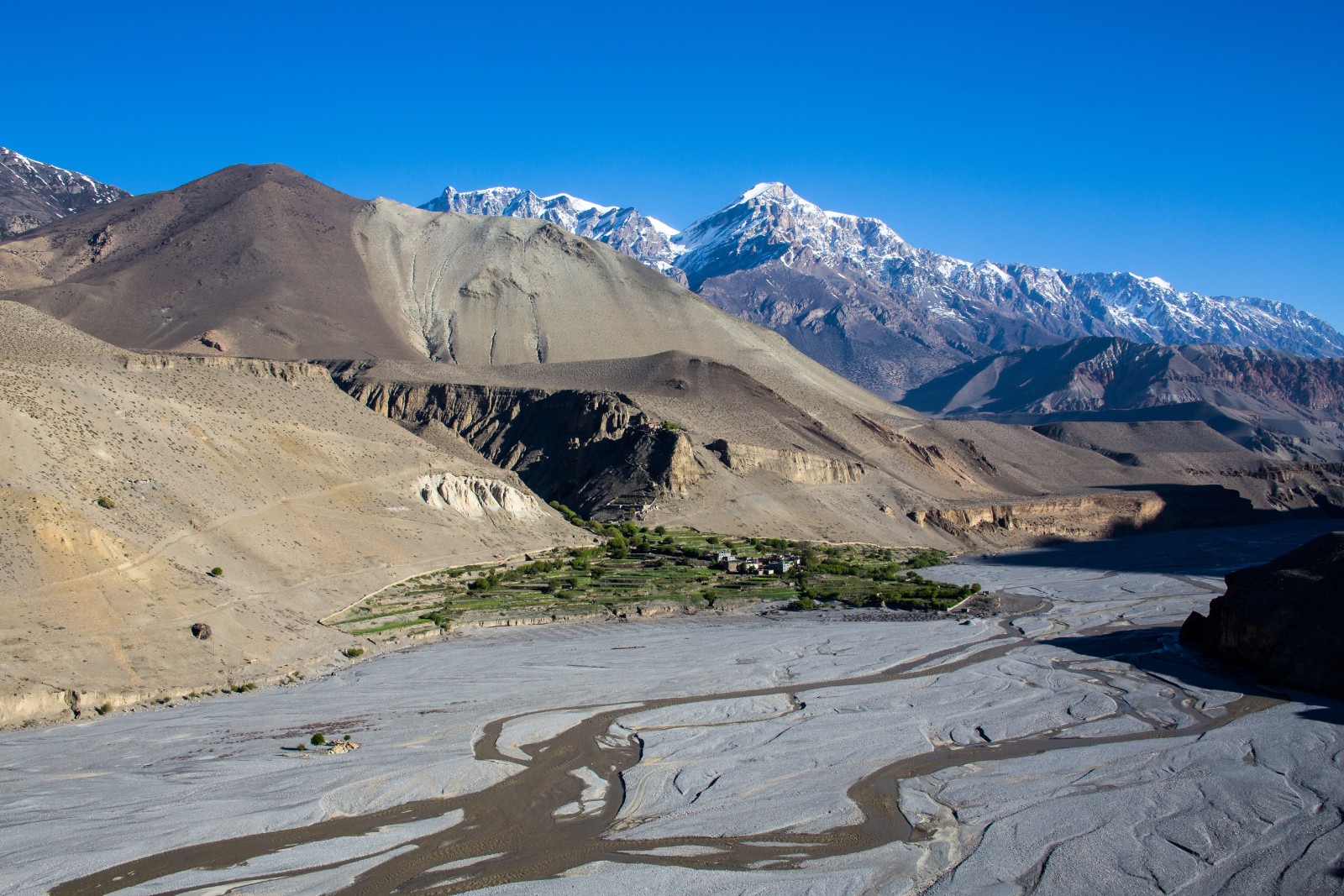
Dried riverbed near Kagbeni village in Nepal’s scenic Lower Mustang region
10. Poon Hill: the sunrise finish
Many Circuit itineraries finish through Ghorepani and Poon Hill, at 3,210 m on our Poon Hill itinerary. The sunrise climb takes about an hour and shows Dhaulagiri and the Annapurna range together (ours). It is the easiest viewpoint on this list, and a good last morning. See our Poon Hill trek guide.
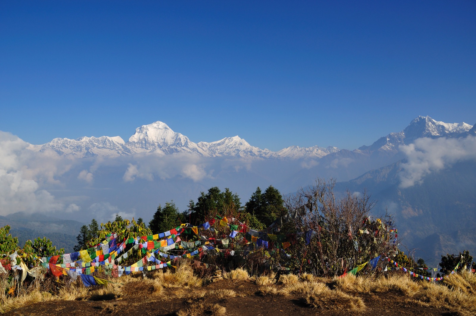
Annapurna mountain range at sunrise from Poon Hill viewpoint during the Ghorepani Poon Hill Trek in Nepal
Viewpoint table: altitude, village and best light
| # | Viewpoint | Altitude | Sleep nearby | Best light | Effort |
|---|---|---|---|---|---|
| 1 | Upper Pisang | about 3,300 m (ours) | Pisang | Late afternoon | Easy |
| 2 | Ghyaru | about 3,670 m (ours) | Ghyaru | Sunrise | Moderate |
| 3 | Ngawal | about 3,660 m (ours) | Ngawal | Morning | Easy |
| 4 | Gangapurna Lake | about 3,500 m (ours) | Manang, 3,540 m | Early morning | Easy |
| 5 | Ice Lake | about 4,600 m (ours) | Manang or Braga | Morning | Hard |
| 6 | Tilicho Lake | 4,919 m (NTB) | Tilicho Base Camp | Morning | Strenuous |
| 7 | Thorong La | 5,416 m (our itineraries) | Thorong Phedi, 4,450 m | Sunrise | Very hard |
| 8 | Muktinath | 3,800 m (NTB) | Muktinath | Afternoon | Easy |
| 9 | Kagbeni | about 2,800 m (ours) | Kagbeni or Jomsom | Afternoon | Easy |
| 10 | Poon Hill | 3,210 m | Ghorepani | Sunrise | Moderate |
Wildlife is a bonus. The Annapurna Conservation Area lists 102 mammal species, including blue sheep and snow leopard, and 474 bird species, according to the Nepal Tourism Board. Blue sheep are the most likely to be seen near the upper trails (ours).
Best sunrise and sunset viewpoints
Sunrise is best at Ghyaru, Poon Hill and Thorong La. At Ghyaru the first light hits Annapurna II and III while the valley stays in shadow (ours). Sunset works best at Upper Pisang and Muktinath, where the light turns the snow gold. We plan sunrise stops for the first clear morning rather than a fixed day, because cloud decides it (ours).
Best time for Annapurna Circuit views
The Nepal Tourism Board lists March to May and September to November as the best seasons for the Annapurna Conservation Area. Our notes by month:
| Months | Views (ours) | Note |
|---|---|---|
| March to May | Good, with some afternoon haze | Rhododendron colour on the lower trail |
| June to August | Dry in Manang and Mustang, wet on the lower trail | The Board notes the rain-shadow areas stay dry; the road and lower trail get landslides |
| September to November | Clearest and steadiest views | Busiest season; October is the most reliable month |
| December to February | Sharp, cold, very clear | Thorong La can close with snow |
For the full season picture, see our autumn treks guide and the Annapurna Circuit guide.
Altitude safety on the viewpoint days
The Nepal Tourism Board says that above 2,500 m your sleeping altitude should rise by no more than 300 to 500 m a day. It also advises a rest day for every 1,000 m gained, and says to descend at once if symptoms worsen. Feeling unwell above 2,500 m may be altitude sickness until proven otherwise. Plan Ice Lake and Tilicho around that rule, and use Manang as your rest base. Do not climb higher with a headache. A rest day does not make a fast ascent safe.
Photography tips for the Annapurna Circuit
- Go early. Peaks are clearest from sunrise to about 10 am, and cloud builds in the afternoon (ours).
- Keep batteries warm. Cold drains them quickly above 4,000 m, so sleep with spares in your sleeping bag (ours).
- Use foreground. Prayer flags, mani walls and stone roofs add scale to the peaks (ours).
- Carry a polarising filter or a lens cloth. Dust and glare are common in the dry Manang and Mustang valleys (ours).
- Charge when you can. Charging costs extra in most lodges, and power is patchy above Manang.
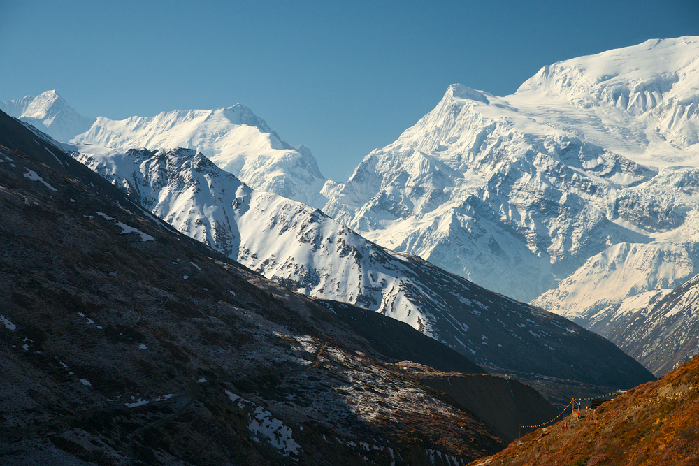
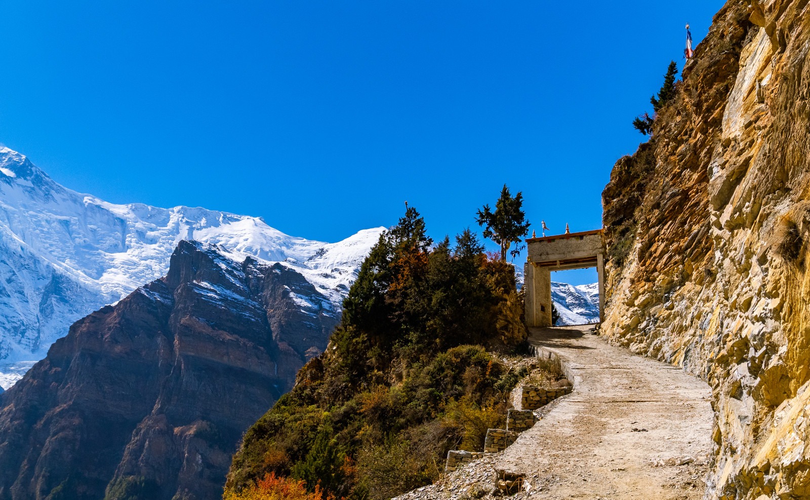
The trail towards Thorong La. Start before dawn for the best light on the pass.
Permits for the Annapurna Circuit viewpoints
The Annapurna Conservation Area charges NPR 2,000 per entry for foreigners and NPR 200 for SAARC nationals, according to the Nepal Tourism Board. The Board also states that the Annapurna Circuit and Tilicho (Mesokanto) routes need a licensed guide and an agency-issued TIMS card. TIMS costs NPR 1,000 for SAARC nationals and NPR 2,000 for others. Nar Phu is a restricted area and needs its own permit. See our Annapurna permits and TIMS guide and Annapurna Circuit cost from India.
FAQ
What are the best viewpoints on the Annapurna Circuit? Ghyaru and Ngawal for peak panoramas, Gangapurna Lake for an easy reflection shot, Ice Lake and Tilicho Lake for high views, Thorong La for the top of the Circuit and Poon Hill for a sunrise finish.
Where can I see Annapurna II, III and IV on the Circuit? Upper Pisang, Ghyaru and Ngawal give the best views of the Annapurna peaks from the north side, according to our guides.
Where can I see Dhaulagiri on the Circuit? From the Kali Gandaki side after Thorong La, and from Poon Hill at the end. The Nepal Tourism Board places Dhaulagiri west of Annapurna I, across the Kali Gandaki valley.
How high is Tilicho Lake? The Nepal Tourism Board gives 4,919 m. It adds 3 to 5 days to the Circuit.
How high is Thorong La? 5,416 m on our itineraries. One Nepal Tourism Board page gives 5,380 m, so plan for about 5,400 m.
How high is Muktinath? 3,800 m, according to the Nepal Tourism Board.
Is Ice Lake worth doing? Yes, if you are well acclimatised. It is a hard day trip from Manang, so go on a rest day and return to sleep at Manang.
What is the best month for Annapurna Circuit views? The Nepal Tourism Board lists March to May and September to November as the best seasons. Our guides find October the most reliable for clear mornings.
Do I need a guide on the Annapurna Circuit? Yes. The Nepal Tourism Board lists the Annapurna Circuit among the routes that need a licensed guide and an agency-issued TIMS card.
How fast can I gain altitude on the viewpoint days? The Nepal Tourism Board says sleeping altitude should rise by no more than 300 to 500 m a day above 2,500 m, with a rest day for every 1,000 m gained.
Which viewpoint is easiest? Gangapurna Lake, Muktinath, Kagbeni and Upper Pisang need little extra walking, so they suit most trekkers.
Can Base Camp Hikes plan an Annapurna Circuit with these viewpoints? Yes. We build the days around Ghyaru, Manang, and your chosen side trips, and we arrange permits, TIMS and a licensed guide.
Plan your Annapurna Circuit with Base Camp Hikes
Tell us your dates and the viewpoints you want, and we will send a day-by-day plan with permits and costs. Message the team on WhatsApp or phone at +91 932 595 1234 (9 am to 7 pm IST), write to info@basecamphikes.com, or use our enquiry form.
Sources
- Nepal Tourism Board: Annapurna region (rain shadow, peaks, Kali Gandaki valley)
- Nepal Tourism Board: Annapurna Conservation Area (season, entry fees, wildlife counts)
- Nepal Tourism Board: Muktinath, Mustang (altitude, Thorung La figure)
- Nepal Tourism Board: Safety in the mountains (altitude rules, Manang aid post)
- Nepal Tourism Board: TIMS card (fees and licensed-guide routes)