
 By
The Gokyo valley in the Everest region holds a chain of glacial lakes at 4,700 to 5,000 m, beside the Ngozumpa glacier. Most trekkers stop at Gokyo village and its main lake, Gokyo Cho, and climb Gokyo Ri (5,357 m). The lakes further up the valley, the fourth, fifth and sixth, lie beyond the village and are visited far less. In this guide we call these the hidden lakes of Gokyo; the fourth and fifth are reached on a separate day walk, and the sixth is rarely visited. The trek is a 14-day round trip from Kathmandu and is a quieter alternative to the Everest Base Camp trail.
This guide covers the lakes, a day-by-day itinerary, permits, season, difficulty and the questions we are asked most often. Flights and trail conditions can change at short notice, so please confirm them with us before you travel.
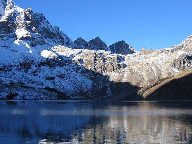
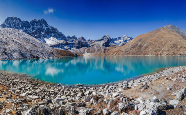
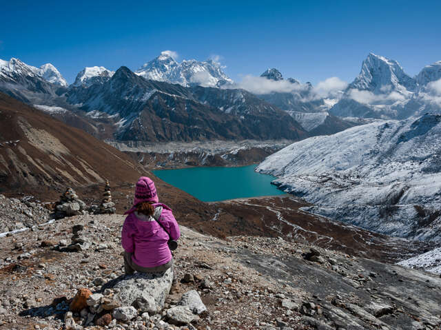
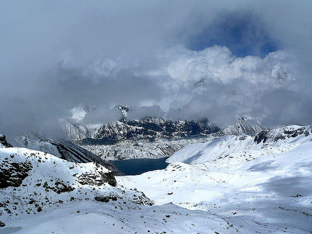
A glacial lake in the Gokyo valley
Trek overview
| Detail | Information |
|---|---|
| Duration | 14 days Kathmandu to Kathmandu, with about 10 days of walking |
| Highest points | Gokyo Ri, 5,357 m; upper lakes between about 4,790 m and 4,950 m |
| Difficulty | Challenging, with 5 to 8 hours of walking on most days |
| Best seasons | March to May; September to November |
| Route | Lukla, Namche Bazaar, Dole, Machermo, Gokyo and back by the same valley |
| Accommodation | Teahouses: simple twin rooms, shared bathrooms |
| Permits | Sagarmatha National Park permit and Khumbu Pasang Lhamu local permit |
The six main Gokyo lakes
The Gokyo lakes lie in Sagarmatha National Park, in Solukhumbu district. The wetland system is listed as a Ramsar site (Gokyo and associated lakes), designated on 13 September 2007. It includes 19 lakes, fed by seepage from the Ngozumpa glacier and by meltwater streams. Six of them are the main lakes that trekkers visit, numbered from the lowest in the valley upwards. Names are spelled in several ways, and published altitudes differ by up to about 50 m between sources, so the figures below are approximate.
| No. | Lake | Approx. altitude | Size and depth | Visited |
|---|---|---|---|---|
| 1 | Longponga Tsho | 4,650 to 4,710 m | Small; no reliable figure | On the walk up to Gokyo |
| 2 | Taujung Tsho (also Taboche Tsho) | 4,710 to 4,730 m | About 17 ha | On the walk up to Gokyo |
| 3 | Gokyo Cho (Dudh Pokhari) | 4,730 to 4,790 m | About 43 ha; 43 m deep | Next to Gokyo village |
| 4 | Thonak Cho | 4,830 to 4,870 m | About 65 ha; 62 m deep | Day walk from Gokyo |
| 5 | Ngozumpa Tsho (also Ngojumba Cho) | 4,950 to 4,980 m | About 14 ha | Day walk from Gokyo |
| 6 | Gyazumpa Tsho | About 5,000 m | About 29 ha | Rarely visited |
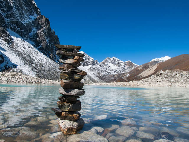
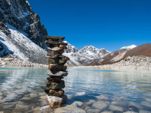
Stacked stones beside a sacred lake near Gokyo
1. Longponga Tsho. The first lake of the system and the lowest, passed on the way up the valley. It is small, and in winter it can freeze. Some sources report sacred stones left on its shore.
2. Taujung Tsho. A short distance above Longponga. It covers roughly 17 ha, and in calm, clear weather its still surface can reflect the surrounding peaks. Some guides call it Taboche Tsho after the peak it mirrors.
3. Gokyo Cho (Dudh Pokhari). The main lake, with Gokyo village on its eastern shore. Dudh Pokhari means “milk lake”, a name linked to the glacial silt in the water. It covers about 43 ha and is about 43 m deep. The lake is sacred to both Hindus and Buddhists, and pilgrims visit during festivals, notably Janai Purnima, which usually falls in August. Its edges freeze in winter and it often freezes across. Gokyo Ri (5,357 m) rises above it.
4. Thonak Cho. The largest and deepest lake in the system, at about 65 ha and 62 m, set further up the valley and slightly off the main route. It is reached on a long day walk from Gokyo and is quieter than the third lake. Higher lakes such as this one can freeze fully between December and February.
5. Ngozumpa Tsho. At about 14 ha, the smallest of the measured lakes, and one of the highest on the standard route at roughly 4,950 to 4,980 m. It lies beside the Ngozumpa glacier, which feeds it, and offers wide views towards Everest, Lhotse, Nuptse and Makalu.
6. Gyazumpa Tsho. The highest and most remote of the six, at about 5,000 m and about 29 ha, on the side of the valley towards Cho Oyu. It is rarely visited and is not part of our standard itinerary. Ask us if you want to add it with a spare day.
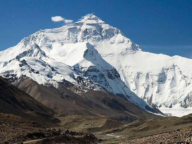
High Himalayan landscape in the Everest region
Why choose the upper lakes of Gokyo
- A quieter valley. Many trekkers stop at Gokyo village and the nearest lakes, so the upper valley is quieter.
- Glacier scenery. The route runs beside the Ngozumpa glacier, with views of its moraine and the surrounding peaks.
- A high viewpoint. Gokyo Ri (5,357 m) overlooks the lakes and the Everest massif.
- Good acclimatisation profile. The itinerary spends several nights between 3,440 m and 4,790 m before the high day.
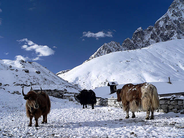
Yaks in the Gokyo valley
Day-by-day itinerary
This is our standard 14-day schedule. Distances and times are approximate and depend on trail and weather conditions.
| Day | Route | Altitude | Walking |
|---|---|---|---|
| 1 | Arrive in Kathmandu | 1,350 m | |
| 2 | Fly Kathmandu to Lukla; trek to Phakding | 2,652 m | 3 to 4 hours, 8 km |
| 3 | Phakding to Namche Bazaar | 3,440 m | 5 to 6 hours, 10 to 12 km |
| 4 | Rest and acclimatisation at Namche | 3,440 m | Optional 2-hour hike |
| 5 | Namche Bazaar to Dole | 4,110 m | 6 to 7 hours, 8 km |
| 6 | Dole to Machermo | 4,470 m | 4 to 5 hours, 5 km |
| 7 | Machermo to Gokyo | 4,790 m | |
| 8 | Day walk to the upper lakes (fourth and fifth) and back | 4,790 m | 6 to 8 hours, 12 km |
| 9 | Climb Gokyo Ri and return to Gokyo | 5,357 m | 5 to 6 hours, 7 km |
| 10 | Gokyo to Dole | 4,110 m | 5 to 6 hours, 10 km |
| 11 | Dole to Namche Bazaar | 3,440 m | 5 to 6 hours, 8 km |
| 12 | Namche Bazaar to Lukla | 2,800 m | 6 to 7 hours, 16 km |
| 13 | Fly Lukla to Kathmandu | 1,350 m | 35-minute flight |
| 14 | International departure |
Days 2 to 4. The trek follows the Dudh Kosi valley to Namche Bazaar, with a full rest day for acclimatisation.
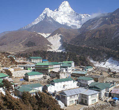
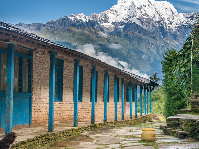
A village along the trail
Days 5 to 7. The trail leaves the main Everest route above Namche and climbs through Dole and Machermo into the Gokyo valley. Sleeping altitude rises by about 300 to 700 m a day, and Day 7 reaches Gokyo.
Day 8: the upper lakes. From Gokyo, the trail follows the Ngozumpa glacier moraine to the fourth and fifth lakes. It is a long day at altitude, so start early and carry water, food and warm layers. You return to Gokyo the same evening.
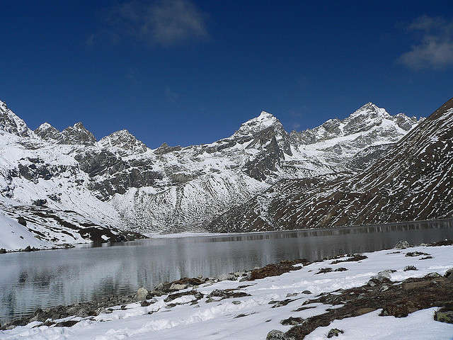
The Renjo La pass above a Gokyo lake
Day 9: Gokyo Ri. A steady climb of about 570 m gives a wide view over the lakes and the mountains. Start before sunrise for the clearest conditions.
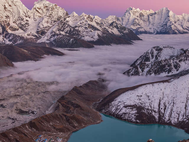
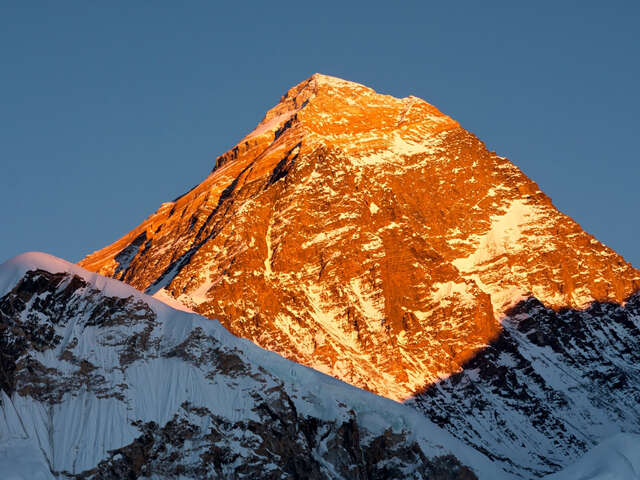
Sunset from Gokyo Ri (5,357 m)
Days 10 to 13. The return follows the same valley to Namche and Lukla, then the flight to Kathmandu.
Gokyo trek packages
Two Base Camp Hikes packages include the Gokyo lakes. Choose the one that fits the time you have and the route you want.
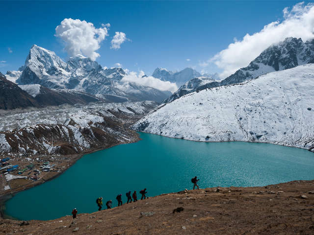
Both packages include a licensed guide and permit arrangements. Contact us to confirm departure dates and what is included in the price.
Photos from our Gokyo treks
Permits and fees
The Gokyo route is an open trekking area and does not need a restricted-area permit. The permits reported for 2026 are:
- Sagarmatha National Park permit: NPR 3,000 for foreign nationals and NPR 1,500 for SAARC nationals.
- Khumbu Pasang Lhamu Rural Municipality permit: reported at NPR 3,000, issued in Lukla.
- TIMS card: reported as no longer used on this route.
Indian citizens pay the SAARC rate for the national park permit. Fees and rules change, so please confirm current rates with us before booking. A guide is not legally required on this route, but we recommend a licensed guide for navigation, acclimatisation decisions and emergencies.
Flights to Lukla
In the autumn and spring peaks, many Lukla flights operate from Manthali (Ramechhap) airport instead of Kathmandu, which means a night transfer of 4 to 5 hours. Weather delays are common, so keep one or two buffer days at the end of the trek. Our team monitors flight status each morning.
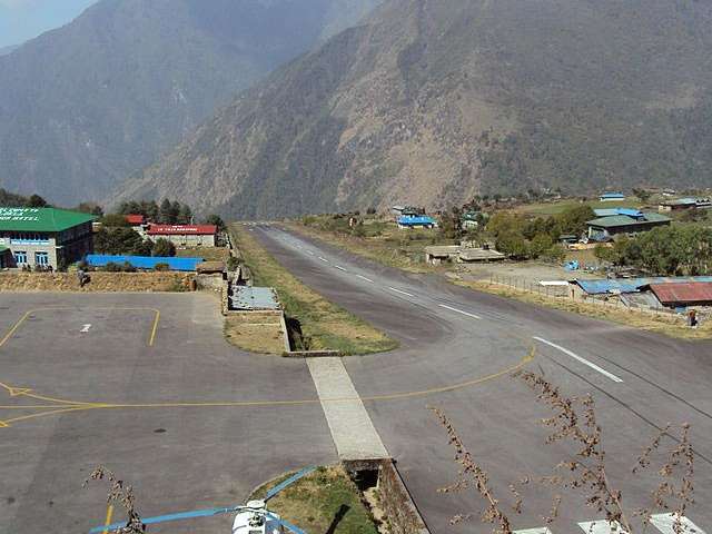
Lukla airport
Best time to trek
- October to November: the most stable weather and clearest views, and the busiest period on the lower trail.
- March to May: warmer, with clear mornings and cloud after midday.
- December to February: possible but very cold. Nights at Gokyo fall well below freezing, and lakes can freeze.
- June to August: not recommended, because of monsoon rain and poor visibility.
Difficulty and preparation
Gokyo is challenging because of altitude rather than technical terrain. You spend three nights at Gokyo (4,790 m) and climb to 5,357 m.
- Training: 8 to 12 weeks of hill walking with a daypack, plus stair and cardio work.
- Acclimatisation: use the rest day at Namche. Above 3,000 m, limit the increase in sleeping altitude to roughly 500 m per night.
- Altitude sickness: report headache, nausea, poor sleep or breathlessness to your guide immediately. Descent is the primary treatment.
- Insurance: choose a policy that covers trekking to 5,500 m and helicopter evacuation.
- Medical advice: consult your doctor before the trek, particularly about altitude medication.
Equipment checklist
Overnight temperatures at Gokyo fall below freezing in all seasons.
- Base layers, fleece, down jacket and windproof shell
- Broken-in waterproof trekking boots, warm socks and microspikes
- Sleeping bag rated to -15 °C (rentals available in Kathmandu)
- Warm hat, sun hat, gloves, sunglasses and sunscreen
- Water bottles, purification tablets, headlamp and trekking poles
- Nepali rupees in cash, as ATMs above Namche are unreliable
For equipment shopping, see our guide to buying cheap trekking gear in Kathmandu.
Frequently asked questions
What are the hidden lakes of Gokyo? In this guide, they are the fourth, fifth and sixth lakes: Thonak Cho, Ngozumpa Tsho and Gyazumpa Tsho. They lie beyond Gokyo village. The fourth and fifth are visited on a separate day walk, and the sixth is rarely visited. Lake numbering and spelling vary between sources.
How many lakes are there at Gokyo? The Gokyo wetland system includes 19 lakes. Six are the main lakes, between about 4,650 m and 5,000 m. Most trekkers visit the first three or four.
How many days does the trek take? The standard itinerary is 14 days from Kathmandu to Kathmandu, with about 10 days of walking.
Is Gokyo harder than Everest Base Camp? The daily walking is similar, but the route spends three nights at 4,790 m and reaches 5,357 m on Gokyo Ri, so acclimatisation matters. It is quieter than the EBC trail.
Do I need a guide? The route is an open area, so a guide is not legally required, but we recommend one. Rules can change, so please check with us before you travel.
Can Indian citizens do this trek? Yes. Indian citizens pay the SAARC rate for the national park permit. Contact us for the documents and fees that apply to Indian citizens.
Plan your Gokyo trek with Base Camp Hikes
Base Camp Hikes arranges permits, licensed guides, porters, teahouse accommodation and Lukla flights for the Gokyo Lakes trek, in small groups with spare days for weather. See the Everest Base Camp & Gokyo Lakes trek or the Gokyo and Renjo La Pass trek, or contact our team for departure dates and a tailored quote.