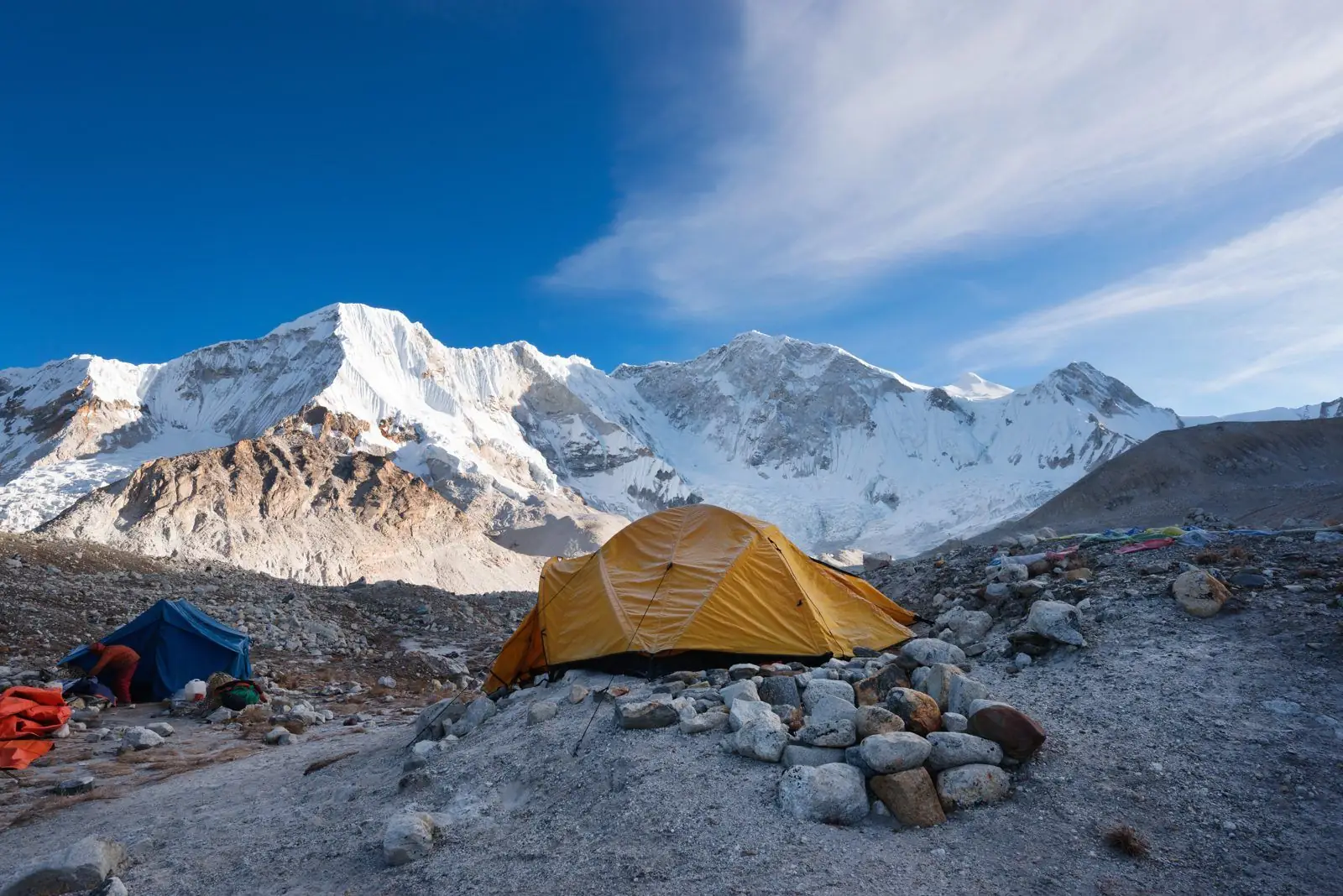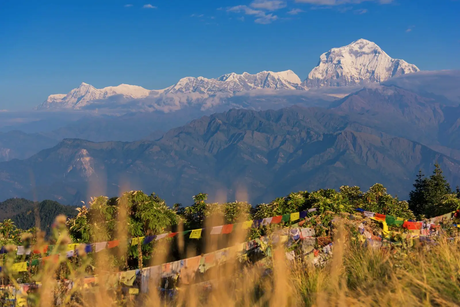
The Tserko Ri to Kyanjin Ri section of the Langtang Valley trek runs from about 4,984 m to about 4,600 to 4,770 m. Typical time is separate day hikes, each 2 to 4 hours up from Kyanjin Gompa, rated hard. That is two separate day hikes from Kyanjin Gompa, not a connected trail.
Quick facts
- Start: Tserko Ri, about 4,984 m
- End: Kyanjin Ri, about 4,600 to 4,770 m
- Change: two separate day hikes from Kyanjin Gompa, not a connected trail
- Typical time: Separate day hikes, each 2 to 4 hours up from Kyanjin Gompa
- Difficulty: Hard
The route
Tserko Ri and Kyanjin Ri are two separate viewpoints above Kyanjin Gompa. Most trekkers choose one for a day trip, depending on time and fitness, and do not link them in one day.
Altitude and health
Part of this section is at or above 3,000 m, so altitude sickness is possible. Walk slowly, drink water, avoid alcohol and tell your guide about headaches, nausea or poor sleep. Descend if symptoms worsen. Altitudes vary by a few tens of metres between maps and guidebooks.
Tips
Kyanjin Ri is shorter and lower, while Tserko Ri is higher with a wider panorama. Pick the one that fits your energy.
Common questions
- Which one is easier? Kyanjin Ri is shorter and lower.
- Can I do both? Possibly on separate days with a rest in between.
Reverse direction
These are separate hikes from Kyanjin Gompa, so there is no single trail to reverse. Each is a return trip to Kyanjin.
Nearby legs on this route
Plan it
Back to all route information or see the Langtang Valley trek guides.