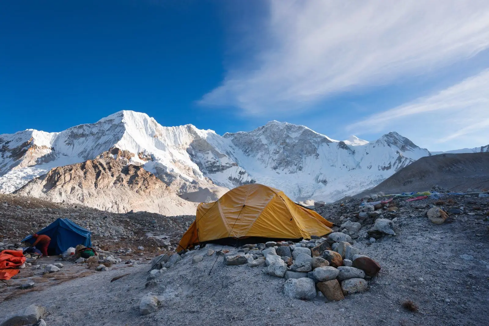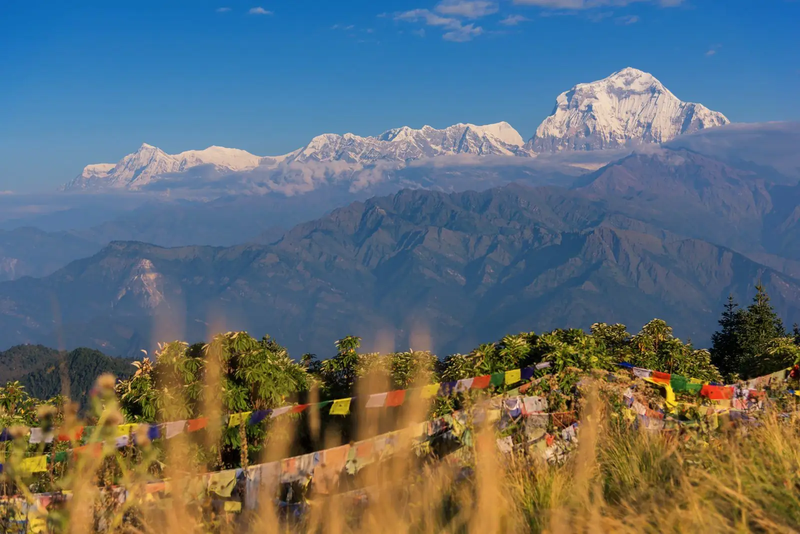
The Kyanjin Gompa to Tserko Ri section of the Langtang Valley trek runs from about 3,870 m to about 4,984 m. Typical time is 3 to 4 hours up, 2 hours down, rated hard. That is a net gain of roughly 1,110 m.
Quick facts
- Start: Kyanjin Gompa, about 3,870 m
- End: Tserko Ri, about 4,984 m
- Change: a net gain of roughly 1,110 m
- Typical time: 3 to 4 hours up, 2 hours down
- Difficulty: Hard
- Also spelled: Kyanjing Gompa
The route
A steep climb on a ridge above Kyanjin with views over the Langtang range, Shishapangma and glaciers. It is a day hike, typically starting before sunrise, rather than a stage of the trek.
Altitude and health
Part of this section is at or above 3,000 m, so altitude sickness is possible. Walk slowly, drink water, avoid alcohol and tell your guide about headaches, nausea or poor sleep. Descend if symptoms worsen. Altitudes vary by a few tens of metres between maps and guidebooks.
Tips
It is a big climb to a high point. Take it slowly, carry warm clothing and turn back if you feel unwell.
Common questions
- How high is Tserko Ri? About 4,980 m, depending on the source.
- Do I need a guide? Not technical, but a guide is advised for safety.
Reverse direction
Walking Tserko Ri to Kyanjin Gompa is the same trail in reverse. It is usually quicker because it is mostly downhill, but a long descent is hard on the knees, so poles help.
Nearby legs on this route
- Syabrubesi to Lama Hotel
- Lama Hotel to Langtang Village
- Langtang Village to Kyanjin Gompa
- Tserko Ri to Kyanjin Ri
Plan it
Back to all route information or see the Langtang Valley trek guides.