The Dharapani to Chame section of the Annapurna Circuit runs from about 1,860 m to about 2,670 m. Typical time is 5 to 6 hours, rated moderate. That is a net gain of roughly 810 m.
Quick facts
- Start: Dharapani, about 1,860 m
- End: Chame, about 2,670 m
- Change: a net gain of roughly 810 m
- Typical time: 5 to 6 hours
- Difficulty: Moderate
The route
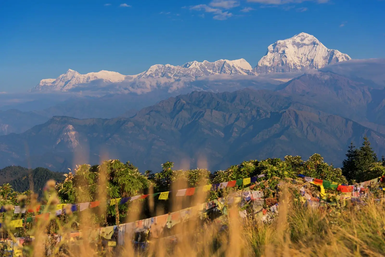
The trail climbs through forest of pine and fir, passing Bagarchhap, Danaque and Koto, and begins to show views of Manaslu and Annapurna II. Chame is the district headquarters and has hot springs.
Altitude and health
This section stays below about 3,000 m, so altitude sickness is unlikely, though heat, humidity and fatigue still matter. Altitudes vary by a few tens of metres between maps and guidebooks.
Tips
The weather changes from humid to alpine in this section. Carry a warm layer for the evening.
Common questions
- Are there hot springs at Chame? Yes, a hot spring is on the trail near the village.
- Can I see Annapurna II? Yes, on clear days.
Reverse direction
Walking Chame to Dharapani is the same trail in reverse. It is usually quicker because it is mostly downhill, but a long descent is hard on the knees, so poles help.
Nearby legs on this route
- Besisahar to Manang
- Bhulbhule to Jagat
- Jagat to Dharapani
- Chame to Upper Pisang
- Upper Pisang to Manang
- Manang to Yak Kharka
Plan it
Back to all route information or see the Annapurna Circuit guides.