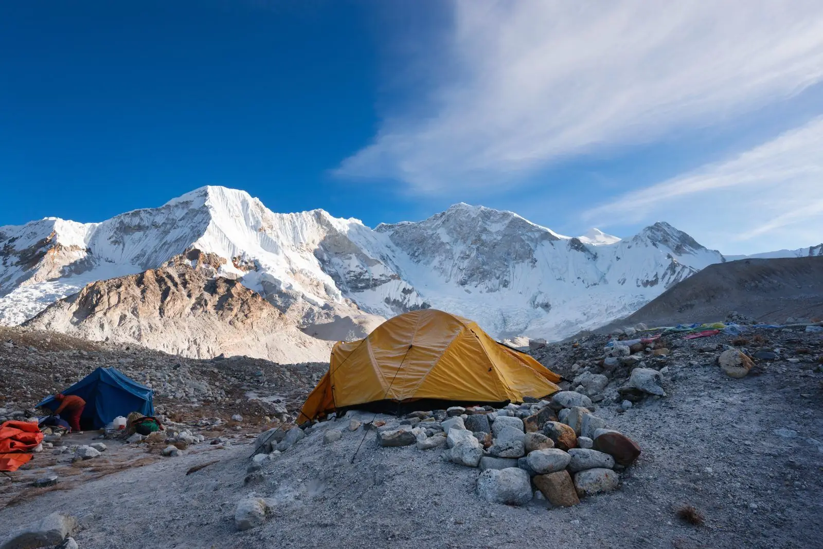
The Chame to Upper Pisang section of the Annapurna Circuit runs from about 2,670 m to about 3,300 m. Typical time is 5 to 6 hours, rated moderate. That is a net gain of roughly 630 m.
Quick facts
- Start: Chame, about 2,670 m
- End: Upper Pisang, about 3,300 m
- Change: a net gain of roughly 630 m
- Typical time: 5 to 6 hours
- Difficulty: Moderate
The route
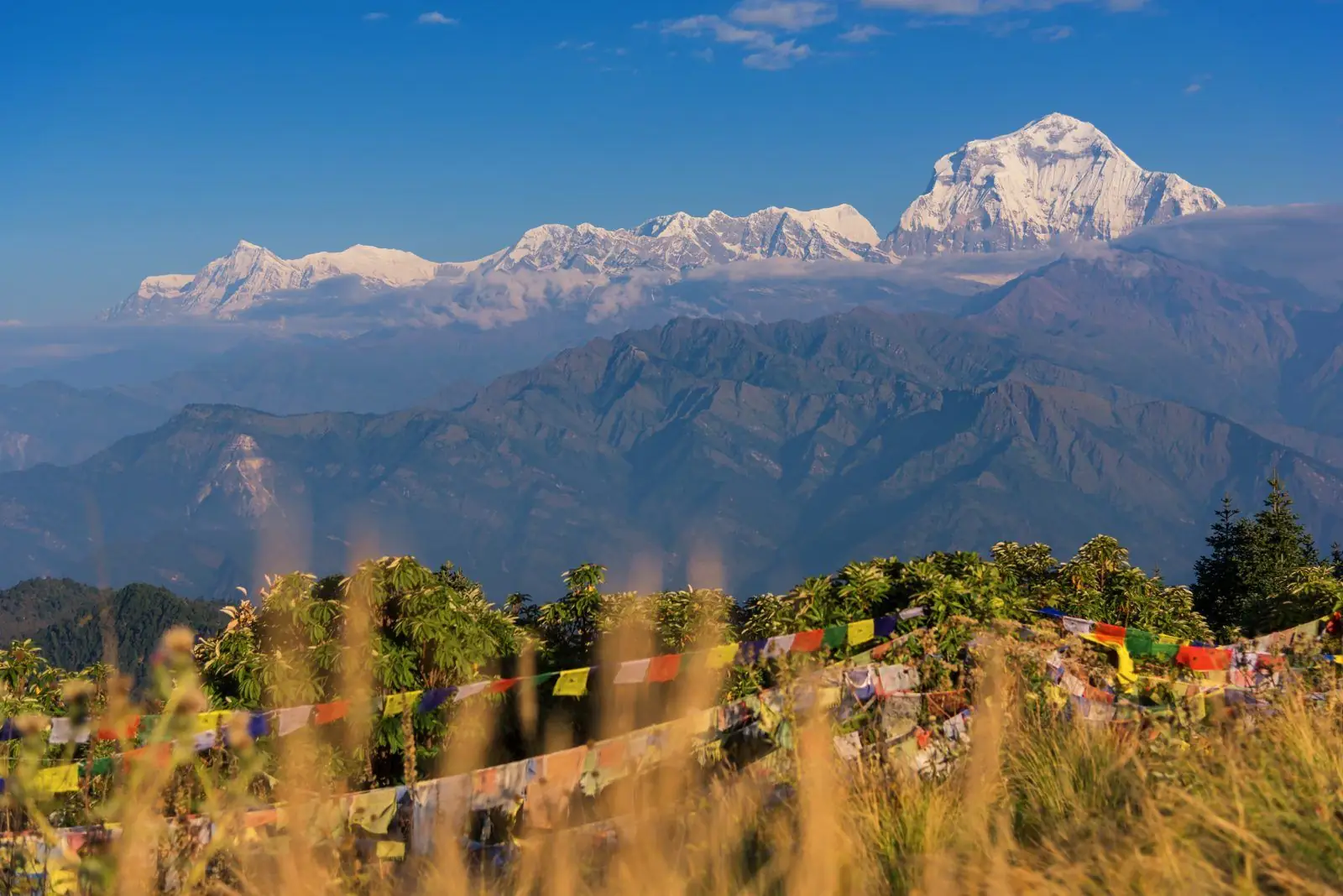
The valley opens out as the trail passes apple orchards, pine forest and the curved rock face of Paungda Danda. Upper Pisang sits on the hillside above the main trail with views of Annapurna II.
Altitude and health
Part of this section is at or above 3,000 m, so altitude sickness is possible. Walk slowly, drink water, avoid alcohol and tell your guide about headaches, nausea or poor sleep. Descend if symptoms worsen. Altitudes vary by a few tens of metres between maps and guidebooks.
Tips
Choose between Lower and Upper Pisang. Upper has better views and a monastery, but is steeper.
Common questions
- Upper or Lower Pisang? Upper Pisang has the views and the monastery. Lower Pisang is easier to reach.
- Is this high? At 3,300 m, headaches are possible, so go slowly.
Reverse direction
Walking Upper Pisang to Chame is the same trail in reverse. It is usually quicker because it is mostly downhill, but a long descent is hard on the knees, so poles help.
Nearby legs on this route
- Bhulbhule to Jagat
- Jagat to Dharapani
- Dharapani to Chame
- Upper Pisang to Manang
- Manang to Yak Kharka
- Yak Kharka to Thorong Phedi
Plan it
Back to all route information or see the Annapurna Circuit guides.