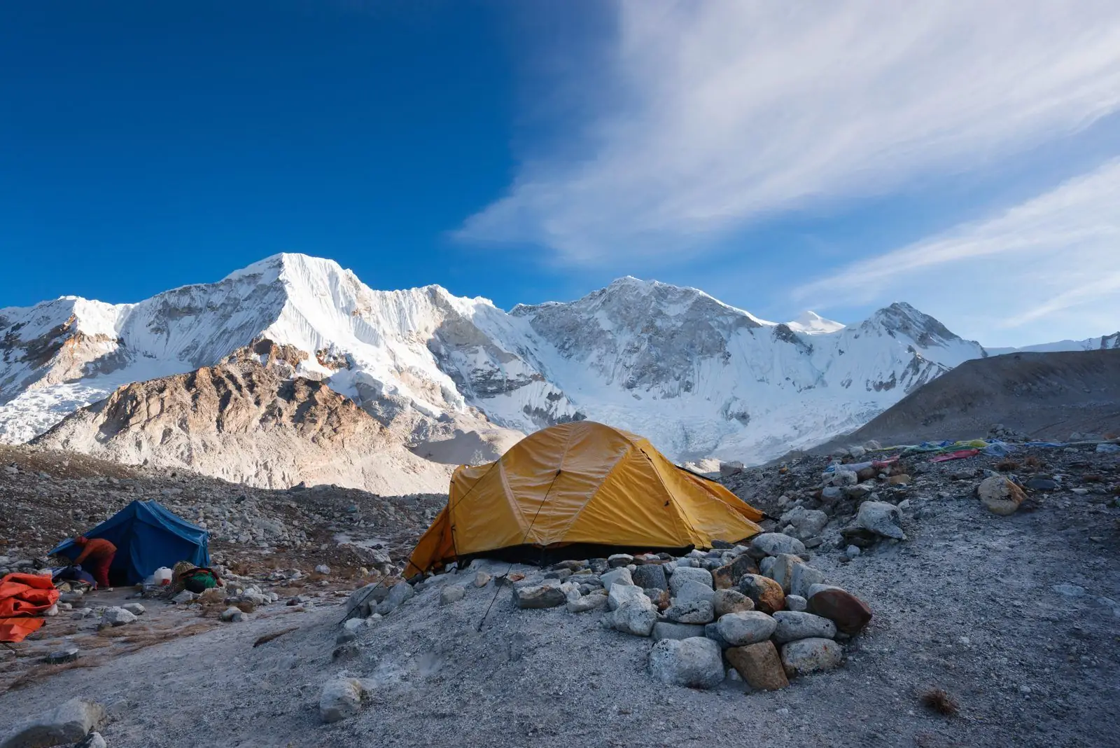
The Thorong La Pass to Muktinath section of the Annapurna Circuit runs from 5,416 m to about 3,760 m. Typical time is 3 to 4.5 hours down, rated hard. That is a net descent of roughly 1,650 m.
Quick facts
- Start: Thorong La Pass, about 5,416 m
- End: Muktinath, about 3,760 m
- Change: a net descent of roughly 1,650 m
- Typical time: 3 to 4.5 hours down
- Difficulty: Hard
- Also spelled: Thorang La Pass
The route
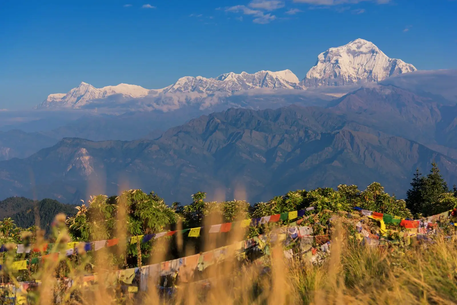
A long, steep descent on loose scree and stone steps, with views of the Dhaulagiri range, to the pilgrimage site of Muktinath. The knees take a lot of strain.
Altitude and health
Part of this section is at or above 3,000 m, so altitude sickness is possible. Walk slowly, drink water, avoid alcohol and tell your guide about headaches, nausea or poor sleep. Descend if symptoms worsen. Altitudes vary by a few tens of metres between maps and guidebooks.
Tips
Use poles and take breaks. The descent is long, and many people feel tired after the early start.
Common questions
- Is the descent easier? It is quicker, but hard on the knees.
- What is at Muktinath? A temple complex sacred to both Hindus and Buddhists.
Reverse direction
Walking Muktinath to Thorong La Pass is the same trail in reverse and means a net climb, so allow more time than the walk down and set a slower pace.
Nearby legs on this route
- Yak Kharka to Thorong Phedi
- Thorong Phedi to Thorong La Pass
- Manang to Thorong La Pass
- Muktinath to Jomsom
- Jomsom to Marpha
- Marpha to Tukuche
Plan it
Back to all route information or see the Annapurna Circuit guides.