The Samagaun to Samdo section of the Manaslu Circuit runs from about 3,520 m to about 3,860 m. Typical time is 3 to 4 hours, rated moderate. That is a net gain of roughly 340 m.
Quick facts
- Start: Samagaun, about 3,520 m
- End: Samdo, about 3,860 m
- Change: a net gain of roughly 340 m
- Typical time: 3 to 4 hours
- Difficulty: Moderate
The route
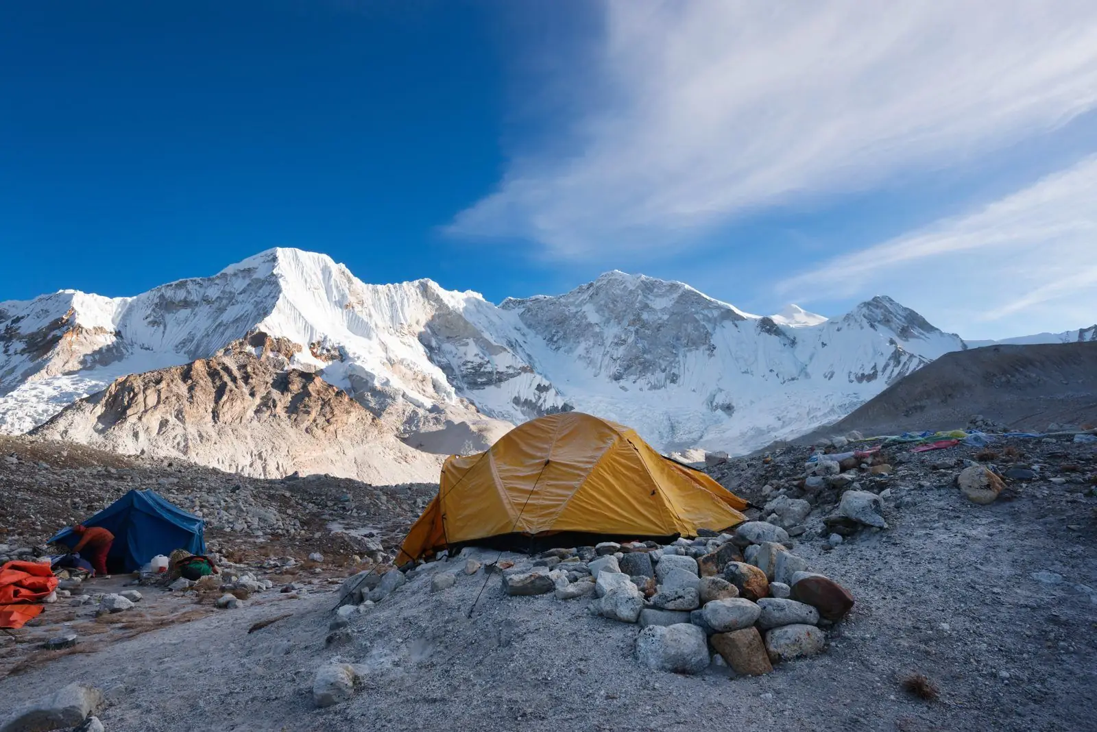
The trail follows the upper Budhi Gandaki across open land with yak pastures and mani walls, reaches Samdo, a Tibetan-influenced settlement close to the border.
Altitude and health
Part of this section is at or above 3,000 m, so altitude sickness is possible. Walk slowly, drink water, avoid alcohol and tell your guide about headaches, nausea or poor sleep. Descend if symptoms worsen. Altitudes vary by a few tens of metres between maps and guidebooks.
Tips
Samdo is high, so plan a rest or acclimatisation walk before going on. Samagaun usually has a rest day built in.
Common questions
- Is Samdo near Tibet? Samdo is close to the border, and many of its people have Tibetan roots.
- Is this a hard day? It is short, but the altitude makes it tiring.
Reverse direction
Walking Samdo to Samagaun is the same trail in reverse. It is usually quicker because it is mostly downhill, but a long descent is hard on the knees, so poles help.
Nearby legs on this route
- Deng to Namrung
- Namrung to Lho
- Lho to Samagaun
- Samdo to Dharamsala
- Dharamsala to Larkya La Pass
- Larkya La Pass to Bimthang
Plan it
Back to all route information or see the Manaslu Circuit guides.